We are in the process of migrating all NASA Earth science data sites into Earthdata from now until end of 2026. Not all NASA Earth science data and resources will appear here until then. Thank you for your patience as we make this transition.
Read about the Web Unification Project
Featured Projects
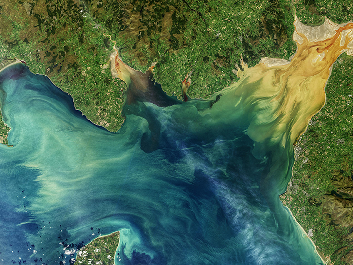
NASA's Applied Remote Sensing Training (ARSET) program teaches people to use Earth-observing data in their environmental management and decision-making.

At night, satellite images of Earth capture a uniquely human signal—artificial lighting. Remotely-sensed lights at night improve our understanding of interactions between human systems and the environment.
Explore All Projects
Filters
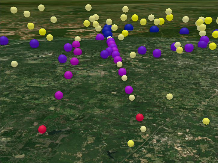
The SEAC4RS airborne field study was conducted in August and September of 2013 and was based in Houston, Texas.

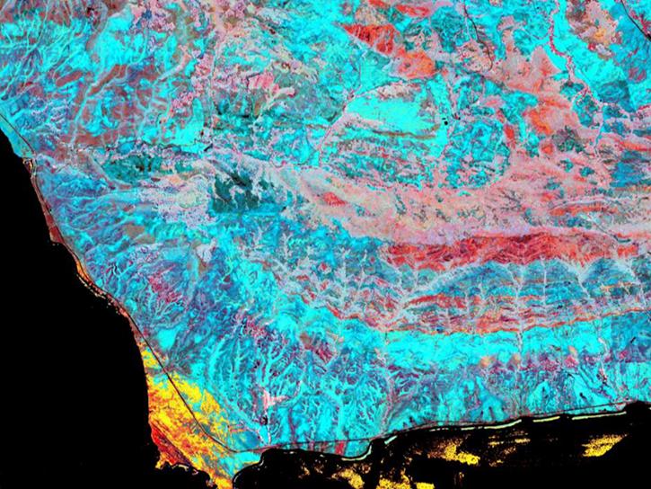
SHIFT collected airborne visible to shortwave infrared (VSWIR) imagery at multiple times across terrestrial and coastal aquatic regions in support of the SGB mission.
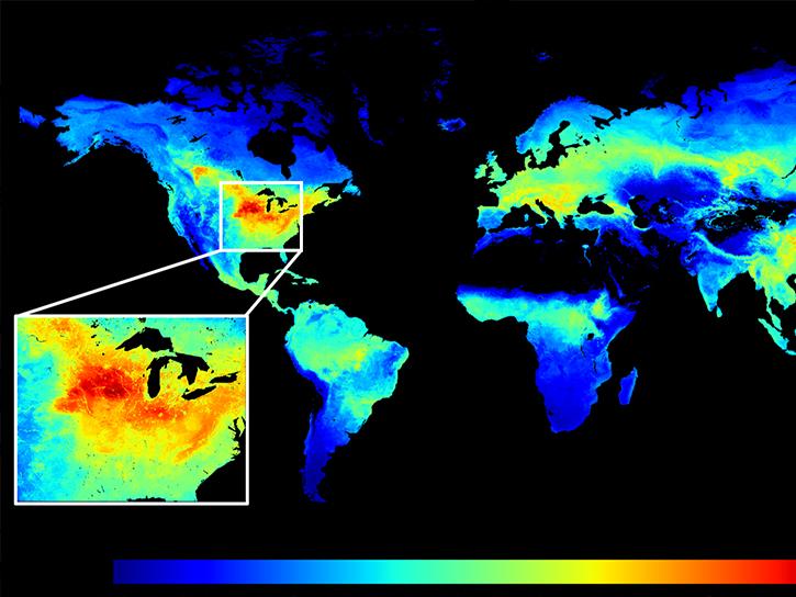
The SIF-ESDR project quantified global vegetation solar induced fluorescence (SIF) and photosynthesis gross primary productivity (GPP) from 1996-2020.
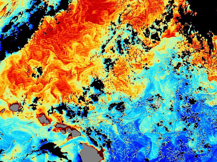
The SIMBIOS Project was scoped to support four primary activities: data product validation, sensor calibration, data merger algorithm evaluation, and satellite data processing.
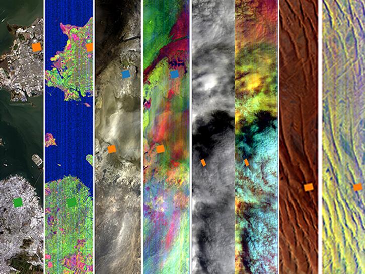
SISTER utilizes existing airborne and spaceborne sources to generate prototype data products spanning terrestrial ecosystems, inland and coastal aquatic ecosystems, hydrology, and geology.
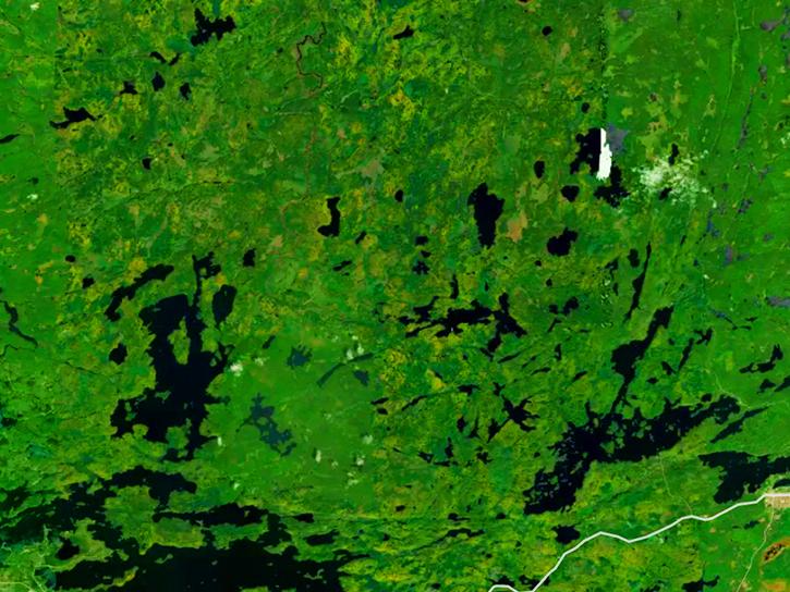
The SNF project was conducted in a portion of the Superior National Forest to investigate the ability of remote sensing to provide estimates of biophysical properties of ecosystems.
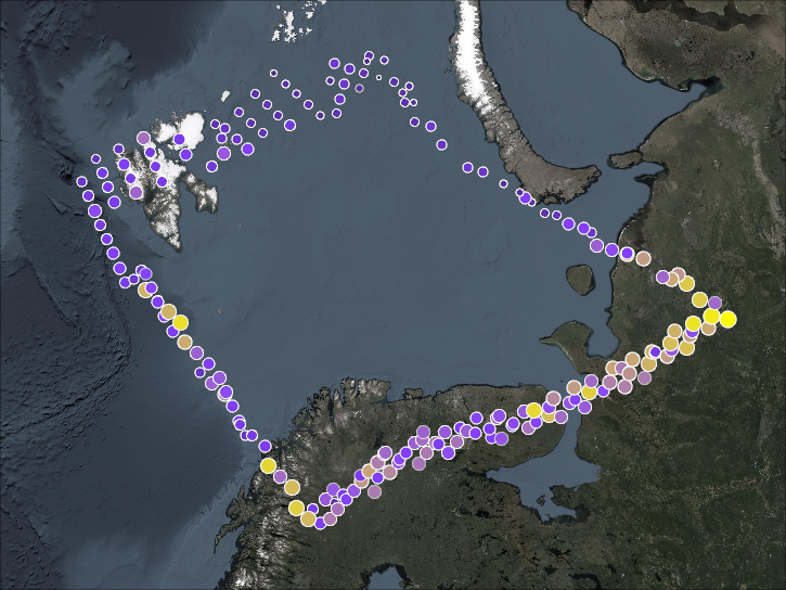
SOLVE’s primary objective was for calibrating and validating the SAGE III satellite measurements, while examining the processes that controlled ozone levels at a mid- to high-latitude range.
SHOWING 8 OF 199