We are in the process of migrating all NASA Earth science data sites into Earthdata from now until end of 2026. Not all NASA Earth science data and resources will appear here until then. Thank you for your patience as we make this transition.
Read about the Web Unification Project
Featured Projects
NASA's Applied Remote Sensing Training (ARSET) program teaches people to use Earth-observing data in their environmental management and decision-making.

At night, satellite images of Earth capture a uniquely human signal—artificial lighting. Remotely-sensed lights at night improve our understanding of interactions between human systems and the environment.
Explore All Projects
Filters
The wildfire project comprises MISR output from an analysis of wildfire plumes observed across Canada and Alaska from May to September of 2016-2019.

MOOSE comprises three field experiments: Great Lakes Meteorology and Ozone Recirculation (GLAMOR), Chemical Source Signatures (CHESS), and Methane Releases from Landfills and Gas Lines (MERLIN).

The NAAMES project was the first NASA Earth Venture – Suborbital mission focused on studying the coupled ocean ecosystem and atmosphere.

NACP is a multidisciplinary research program designed to improve understanding of North America's carbon sources, sinks, and stocks.
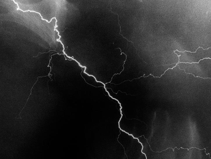
The NALMA network locates the total lightning activity inside storms using a network of 11 stations in northern AL and 2 stations in Atlanta, GA.

The NASA African Monsoon Multidisciplinary Analyses (NAMMA) campaign was a field research investigation sponsored by the Science Mission Directorate of the National Aeronautics and Space Administration (NASA).

The goal of NARSTO was to coordinate and enhance policy-relevant scientific research and assessment of tropospheric pollution behavior.

SHOWING 8 OF 199