Delivery of Suomi National Polar-orbiting Partnership (Suomi NPP) satellite data products will cease on November 1, 2026. Data users should transition now to alternative products from NOAA-21 and NOAA-20.
Suomi NPP data announcement
Featured Projects
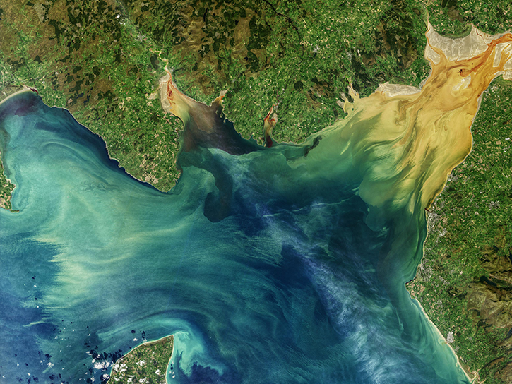
NASA's Applied Remote Sensing Training (ARSET) program teaches people to use Earth-observing data in their environmental management and decision-making.

At night, satellite images of Earth capture a uniquely human signal—artificial lighting. Remotely-sensed lights at night improve our understanding of interactions between human systems and the environment.
Explore All Projects
Filters

The ARIA project utilizes synthetic aperture radar (SAR) data and Global Positioning System (GPS) for detecting and measuring ground deformation and creating predictive models.
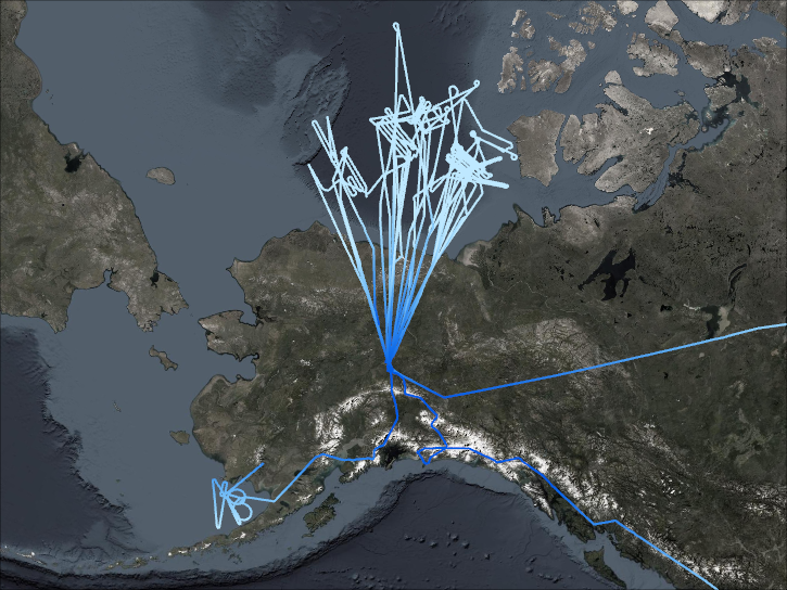
ARISE was NASA's first Arctic airborne campaign designed to take simultaneous measurements of ice, clouds, and the levels of incoming and outgoing radiation, the balance of which determined the degree of climate warming.
NASA's Applied Remote Sensing Training (ARSET) program teaches people to use Earth-observing data in their environmental management and decision-making.

The ASCENDS airborne campaign was a multi-year effort to study global atmospheric column carbon dioxide (CO2) without a seasonal, latitudinal, or diurnal bias.
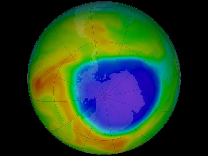
The overarching goal of ASHOE was to investigate the causes of long-term reductions of ozone in the wintertime midlatitudes in the southern hemisphere.
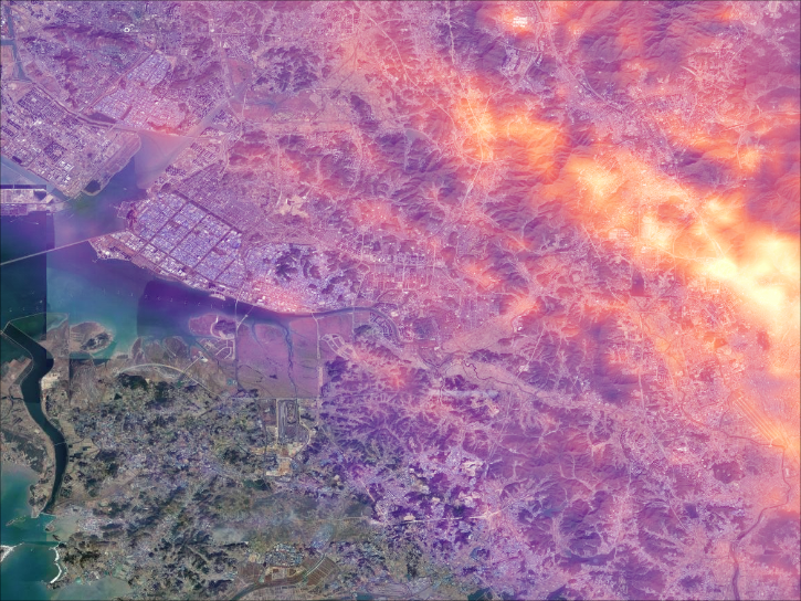
ASIA-AQ was an international cooperative field study designed to address local air quality challenges.
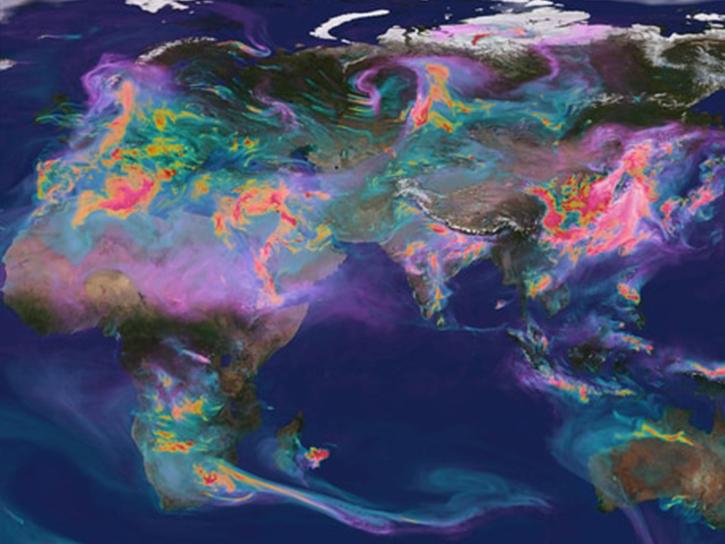
ATom studied the impacts of human-produced air pollution on greenhouse gases and on chemically reactive gases in the atmosphere from Summer 2016 through Spring 2018.
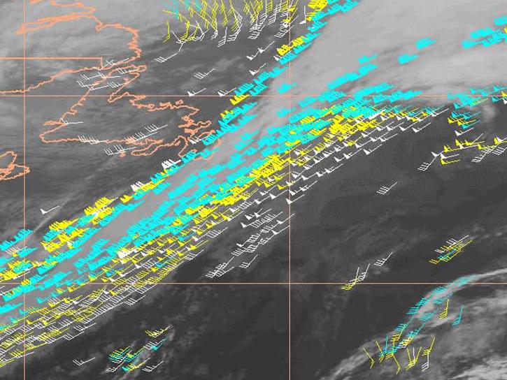
ATOST was a test field campaign conducted as a part of an extensive international research program that sought to provide information for use in meteorological forecasting to allow for better responses to severe weather events.
SHOWING 8 OF 199