Delivery of Suomi National Polar-orbiting Partnership (Suomi NPP) satellite data products will cease on November 1, 2026. Data users should transition now to alternative products from NOAA-21 and NOAA-20.
Suomi NPP data announcement
Featured Projects
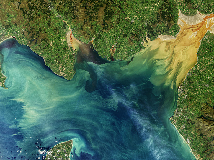
NASA's Applied Remote Sensing Training (ARSET) program teaches people to use Earth-observing data in their environmental management and decision-making.

At night, satellite images of Earth capture a uniquely human signal—artificial lighting. Remotely-sensed lights at night improve our understanding of interactions between human systems and the environment.
Explore All Projects
Filters
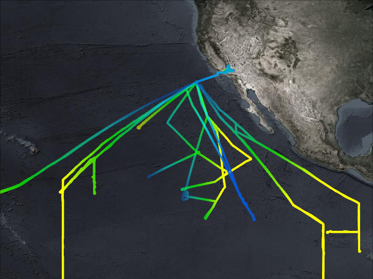
ATTREX investigated the atmospheric processes of stratospheric water vapor creation, movement, and deposition through the tropical tropopause.
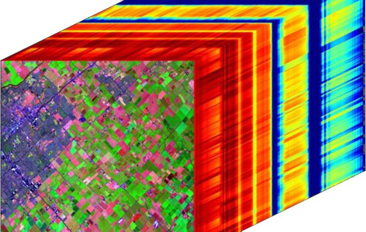
NASA's Airborne Visible/InfraRed Imaging Spectrometer (AVIRIS) Facility Instruments project utilizes high-performance imaging spectrometers to collect high resolution hyperspectral imaging data, enabling a wide range of research and applications to identify, measure, and monitor the Earth's surface and atmosphere.
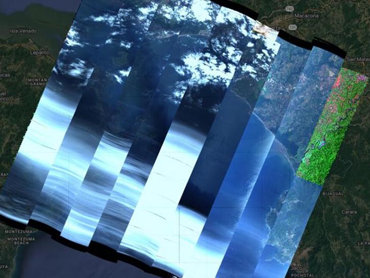
The AVUELO project aims to advance the validation of spaceborne hyperspectral data for tropical ecosystems.
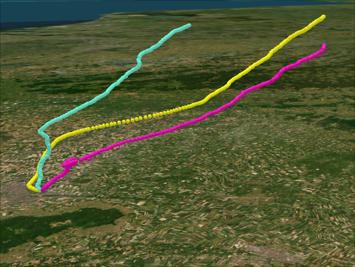
During several field campaigns, BalNeo profiled aerosol concentrations between the ground and stratosphere using balloon deployments.

The BigFoot project focused on collecting ground measurements for validation of MODIS land cover, leaf area index, and net and gross primary production products.

BioSCape is an international collaboration between South Africa and the United States to study biodiversity in South Africa's Greater Cape Floristic Region.

BIO_BURN data represent the geographical and temporal distribution of total amount of biomass burned.
At night, satellite images of Earth capture a uniquely human signal—artificial lighting. Remotely-sensed lights at night improve our understanding of interactions between human systems and the environment.
SHOWING 8 OF 204