Delivery of Suomi National Polar-orbiting Partnership (Suomi NPP) satellite data products will cease on November 1, 2026. Data users should transition now to alternative products from NOAA-21 and NOAA-20.
Suomi NPP data announcement
Featured Projects
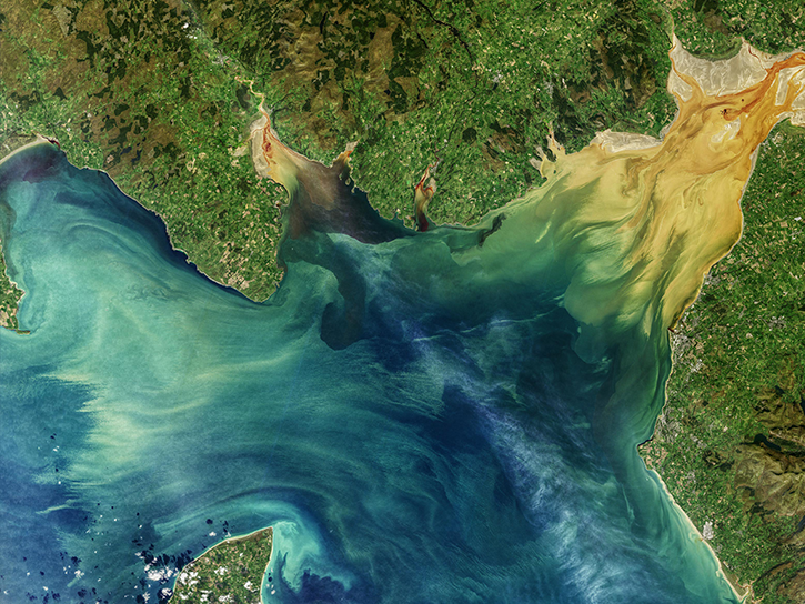
NASA's Applied Remote Sensing Training (ARSET) program teaches people to use Earth-observing data in their environmental management and decision-making.

At night, satellite images of Earth capture a uniquely human signal—artificial lighting. Remotely-sensed lights at night improve our understanding of interactions between human systems and the environment.
Explore All Projects
Filters
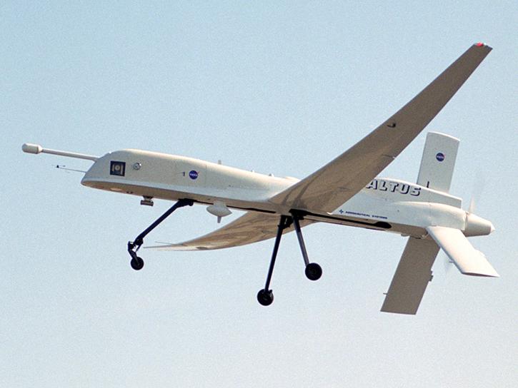
The ALTUS Cumulus Electrification Study (ACES) studied electrical activity within storms and validated satellite observations from the Lightning Imaging Sensor (LIS).
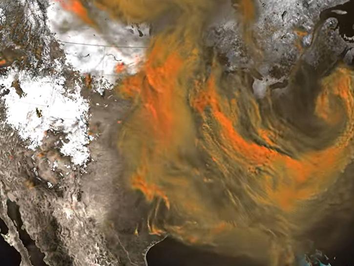
ACT-America was a multi-year NASA Earth Venture Suborbital-2 mission that studied atmospheric carbon dioxide and methane transport across the Midwest, Mid-Atlantic, and southern United States.
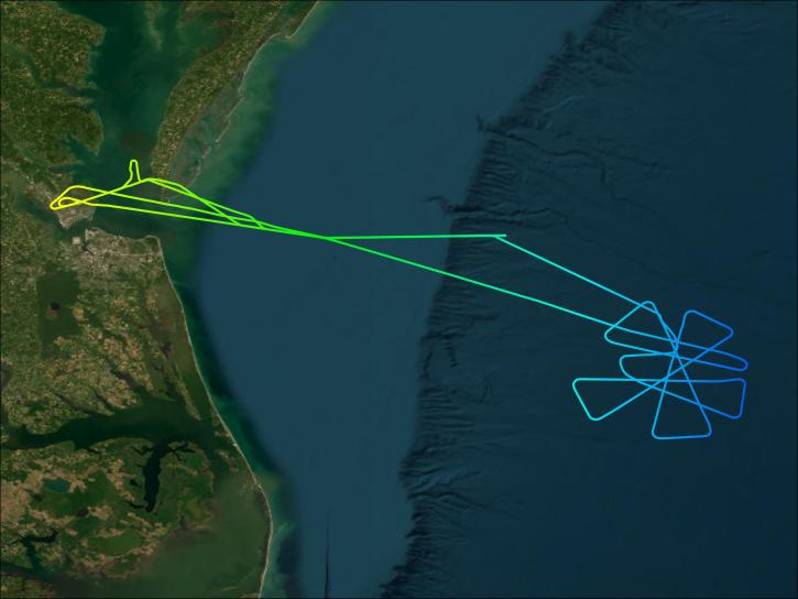
NASA's ACTIVATE campaign explored the relationship between aerosols and clouds and expanded understanding of different cloud properties and their impact on climate and weather.
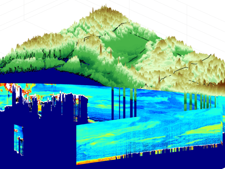
The Aeolus cal/val field campaign was conducted to validate measurements from the European Space Agency’s Atmospheric Dynamics Mission-Aeolus (ADM-Aeolus) satellite that uses Doppler lidar to measure wind profiles.
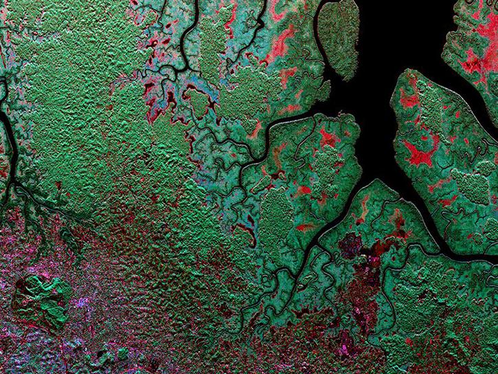
The AfriSAR campaign collected data to derive forest canopy height, structure, and topography in Gabon, West Africa.
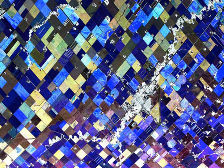
AirMOSS provided high-resolution observations of root-zone soil moisture over nine major North American biomes.
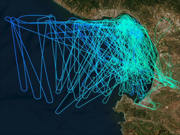
AirSHARP conducted simultaneous airborne and seaborne campaigns in order to validate the PACE Ocean Color Instrument.
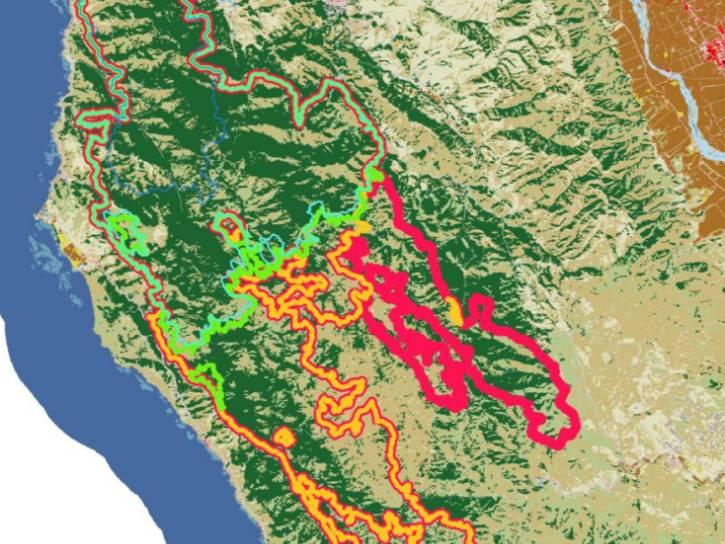
AJAX facilitated routine in-situ measurements over California, Nevada, and the coastal Pacific in support of satellite validation.
SHOWING 8 OF 208