We are in the process of migrating all NASA Earth science data sites into Earthdata from now until end of 2026. Not all NASA Earth science data and resources will appear here until then. Thank you for your patience as we make this transition.
Read about the Web Unification Project
Featured Data Tools

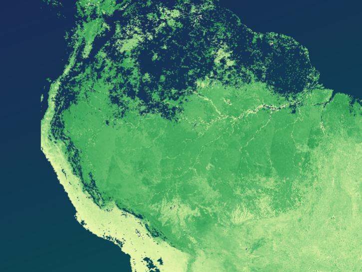
Worldview offers the capability to interactively browse over 1,200 global, full-resolution satellite imagery layers and download the underlying data.
The The Application for Extracting and Exploring Analysis Ready Samples (AppEEARS) offers users a simple and efficient way to perform data access and transformation processes.
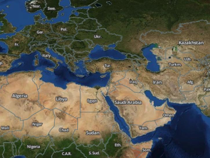
Earthdata Search enables data discovery, search, comparison, visualization, and access across NASA’s Earth science data holdings.

The Fire Information for Resource Management System (FIRMS) provides access to satellite imagery, active fire/hotspots, and related products to identify the location, extent, and intensity of wildfire activity.
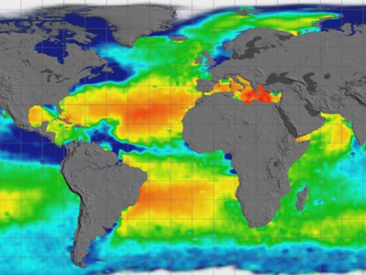
Earthdata GIS is a resource for distributing cloud-native, GIS-ready NASA Earth science data and services, including over 200 raster and feature geospatial services as well as resources such as thematic applications and ArcGIS StoryMaps.
Explore All Data Tools
| Tool Sort descending | Description | Services | |
|---|---|---|---|
| ASF SearchAPI | The ASF searchAPI is a publicly available representational state transfer (REST) application programming interface (API) that provides access to NASA's Alaska Satellite Facility Distributed Active Archive Center (ASF DAAC) data catalog. | Downloading, Search and Discovery | |
| asf_search | asf_search enables users to search and filter OPERA data products efficiently. | Access, Search and Discovery | |
| Biomass Earthdata Dashboard | Observe global forest biomass harmonization activity with the Biomass Earthdata Dashboard. | Analysis, Search and Discovery, Visualization | |
| CASEI | The Catalog of Archived Suborbital Earth Science Investigations (CASEI) is a comprehensive inventory of contextual information for NASA's Earth Science airborne and field campaigns. | Search and Discovery, Cataloging | |
| CERES Subset/Visualization Tool | The CERES Subset/Visualization Tool provides the ability to subset, visually browse, and download CERES Level 3 and select Level 2 data products. | Analysis, Search and Discovery, Visualization | |
| Convert to Vector | Transform point or scene information to formats compatible with Google Earth, GIS, and other tools. | Reformatting | |
| CyAN File Search | The CyAN File Search tool allows users to choose an area over the continental United States and Alaska to retrieve cyanobacteria datasets archived by the Cyanobacteria Assessment Network (CyAN) project. | Analysis, Search and Discovery, Visualization | |
| CyFi Explorer | CyFi Explorer enables users to view corresponding Sentinel-2 satellite imagery for each cyanobacteria estimate, and estimate cyanobacteria density. | Analysis, Search and Discovery, Visualization | |
| Data Access Tool | Use the Data Access Tool to filter files before downloading based on date, spatial area, or file name; choose from various download options, such as Python script; and export bounding boxes as a GeoJSON. | Access | |
| Daymet Single Pixel Extraction Tool | Use this tool to download daily Daymet in a CSV tabular file format for any one pixel and view the queried data as a graphical visualization. | Access, Downloading, Visualization |
SHOWING 10 OF 84