Delivery of Suomi National Polar-orbiting Partnership (Suomi NPP) satellite data products will cease on November 1, 2026. Data users should transition now to alternative products from NOAA-21 and NOAA-20.
Suomi NPP data announcement
Filters
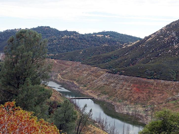
Discover how MODIS data help track changes in snow water equivalents in the Sierra Nevada Mountains to help forecast drought in California.
Data in Action
Sept. 30, 2015
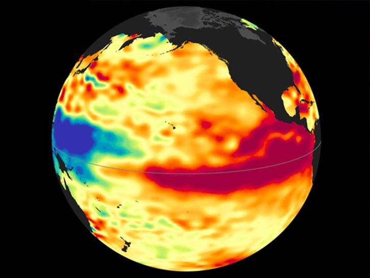
Learn how more recent anomalies are compared with previous El Niño events to gain a potential sense about future development and related impacts.
Data in Action
Sept. 3, 2015
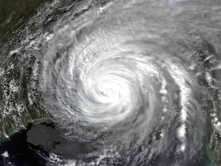
Examining changes and recovery of the Chandeleur Barrier Islands post-Hurricane Katrina using remote sensing data.
Data in Action
Aug. 26, 2015
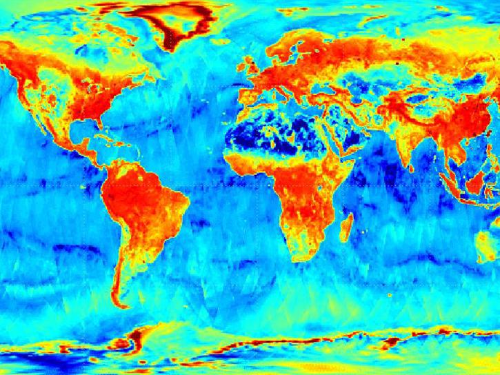
Four Level 1 global radiometer products recently have been added to the list of Worldview active layers.
Blog
Aug. 12, 2015
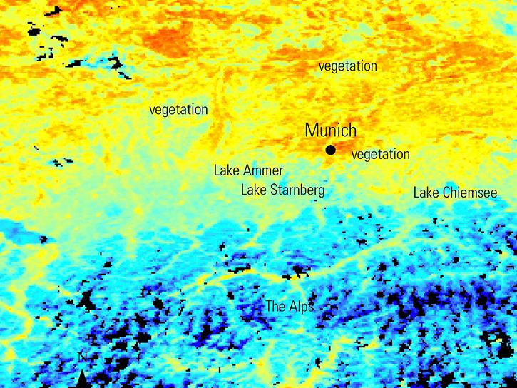
NASA Earth observation data is used to map urban heat patterns in Munich, predict wildfire risk in Sardinia using vegetation phenology, and identify archaeological resource networks in Peru.
Data in Action
Aug. 5, 2015
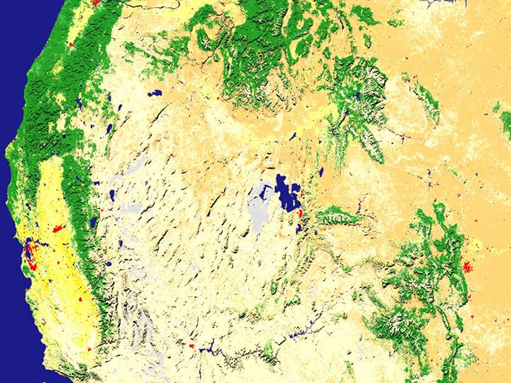
Access Moderate Resolution Imaging Spectroradiometer (MODIS) Version 6 data starting in August 2015.
News
July 23, 2015

Getting near real-time data over the oceans just became easier thanks to the addition of 10 new products to NASA’s Global Imagery Browse Services (GIBS).
Blog
July 8, 2015
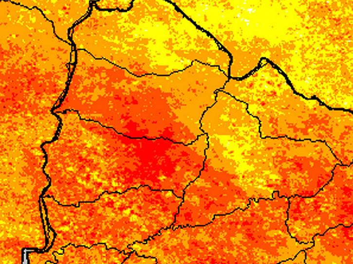
See how a NASA DEVELOP team used MODIS data to create a drought-monitoring tool to benefit the agriculture and energy sectors.
Data in Action
July 1, 2015
SHOWING 8 OF 2401