Due to the lapse in federal government funding, NASA is not updating this website. We sincerely regret this inconvenience.
Data in Action
All across the planet, NASA Earth science data are used to meet real-world challenges.
Featured Data in Action
5 MIN READ
The eBird project uses NASA data and observations from amateur birdwatchers to provide insights into the decline in avian populations throughout North America.
June 17, 2025
5 MIN READ
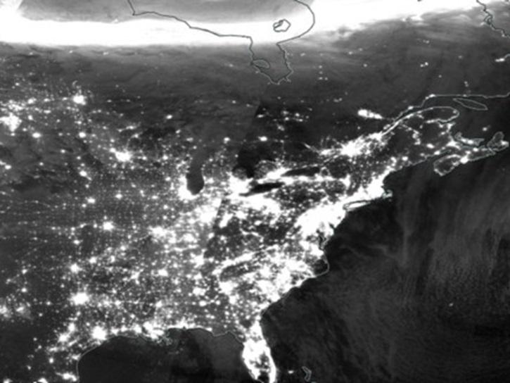
A comparison of aurora forecasts with actual satellite observations suggests VIIRS DNB data can enhance space weather prediction efforts.
May 30, 2025
Filters
5 MIN READ
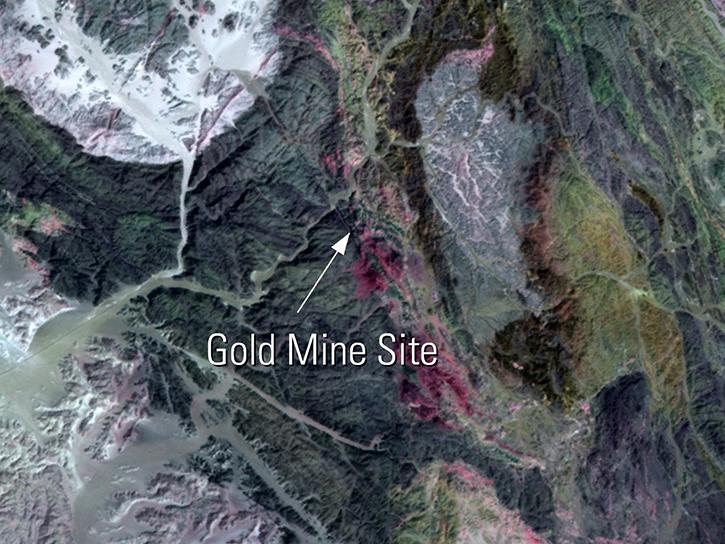
Read highlights of three publications that detail how NASA Earth observation data informs chickpea agriculture growth in India, harmful sediment plumes affecting Colombian coral reefs, and new gold sites in Egypt's Central Eastern Desert.
July 27, 2016
3 MIN READ
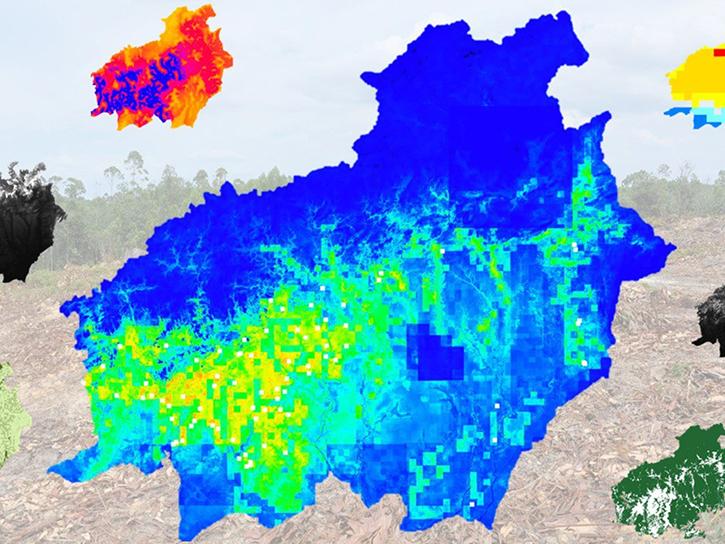
In Spring 2016, DEVELOP researchers used MODIS data to identify areas of potential palm oil production and the risks of rainforest deforestation in Indonesia.
June 29, 2016
4 MIN READ
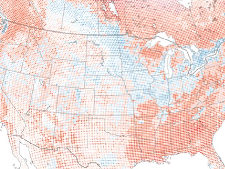
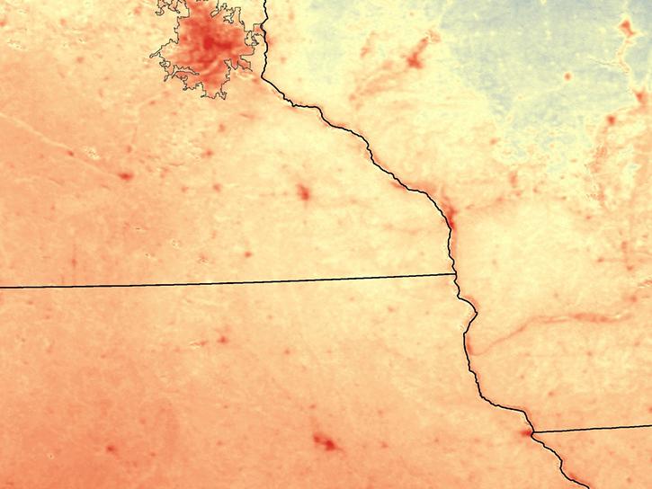
Learn how NASA MODIS data and the AppEEARS tool can be used to detect and analyze temperature differences between urban and rural areas.
June 22, 2016
4 MIN READ
Read stories from the 2015 issue of Sensing our Planet to learn about the many uses of MODIS data distributed by LP DAAC.
June 1, 2016
4 MIN READ
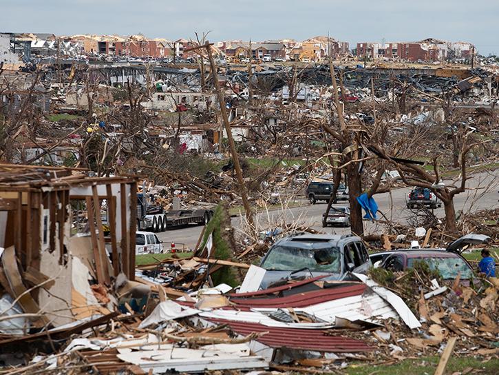
See ASTER data used to study tornado damage in Joplin, Missouri.
May 26, 2016
4 MIN READ
Learn how remote sensing helps classify minerals and identify faults, the effectiveness of an afforestation program, and assessing forests and grasslands disturbance.
May 20, 2016
3 MIN READ
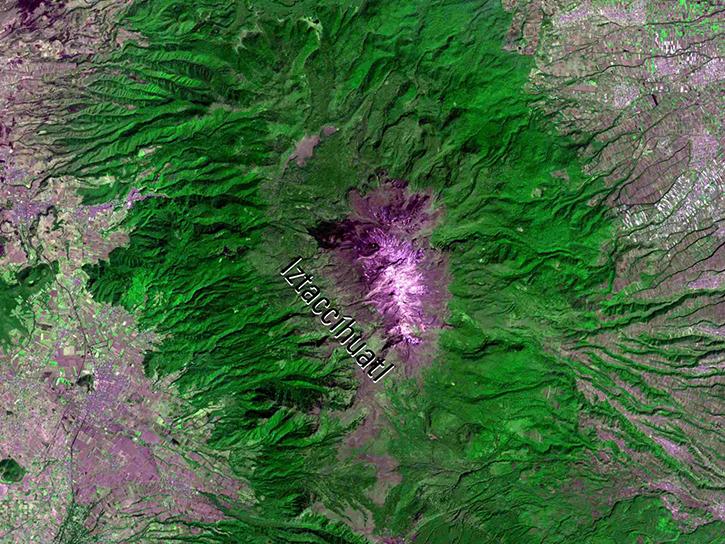
Learn how NASA's ASTER data helps monitor and understand lahars, offering essential data for hazard assessment and mitigation efforts.
April 26, 2016
4 MIN READ
Learn about Web-Enabled Landsat Data (WELD), a MEaSUREs project that created composited mosaics of the U.S. using ETM+ data from 2002 to 2012.
March 31, 2016
Pagination
SHOWING 8 OF 120
