We are in the process of migrating all NASA Earth science data sites into Earthdata from now until end of 2026. Not all NASA Earth science data and resources will appear here until then. Thank you for your patience as we make this transition.
Read about the Web Unification Project
Data in Action
All across the planet, NASA Earth science data are used to meet real-world challenges.
Featured Data in Action

5 MIN READ
The eBird project uses NASA data and observations from amateur birdwatchers to provide insights into the decline in avian populations throughout North America.
June 17, 2025

5 MIN READ
A comparison of aurora forecasts with actual satellite observations suggests VIIRS DNB data can enhance space weather prediction efforts.
May 30, 2025
Filters
5 MIN READ
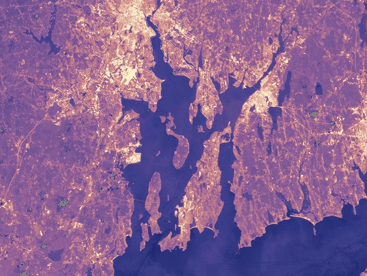
Population data from the Gridded Population of the World (GPW) project and land surface temperature data from MODIS show that higher UN-adjusted population density correlates with higher Urban Heat Island temperatures.
Aug. 4, 2017
6 MIN READ
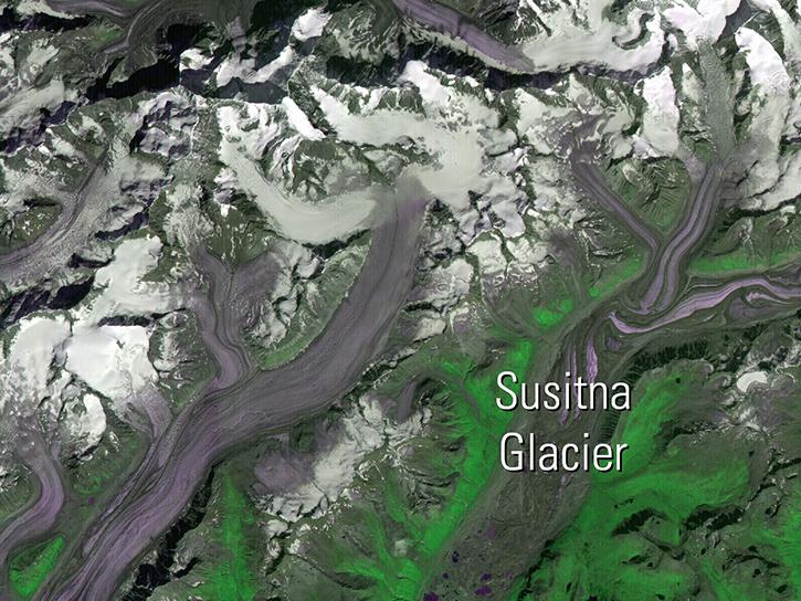
Read publication highlights that detail how NASA data are used to monitor fuel moisture in Hawaii, glacier change in Alaska, and ice cap albedo in Iceland, providing crucial environmental insights.
July 26, 2017

7 MIN READ
Follow Superstorm Sandy's lifecycle and impacts, and how the recovery of affected ecosystems were tracked by NASA remote sensing data.
July 6, 2017

3 MIN READ
Read how Navajo Nation Climate III DEVELOP team used Earth observation data to investigate drivers of drought in the Southwestern United States.
June 14, 2017

3 MIN READ
Researchers use the the combined Terra and Aqua MODIS leaf area index data product to detect crop damage caused by hail.
May 31, 2017

7 MIN READ
Discover how remote sensing supports temperature modeling, urban agriculture mapping, and analysis of floodplain behavior in arid regions.
April 26, 2017

4 MIN READ
The West Africa Atlas uses ASTER data, aerial imagery, and ground images to illustrate changes and responses to environmental challenges in 17 countries.
March 1, 2017

3 MIN READ
Learn how the Oceans Melting Greenland (OMG) projects surveys Greenland’s glaciers and ice sheets and studies how the oceans and ice interact with each other.
Feb. 27, 2017
SHOWING 8 OF 186