We are in the process of migrating all NASA Earth science data sites into Earthdata from now until end of 2026. Not all NASA Earth science data and resources will appear here until then. Thank you for your patience as we make this transition.
Read about the Web Unification Project
Data in Action
All across the planet, NASA Earth science data are used to meet real-world challenges.
Featured Data in Action

5 MIN READ
The eBird project uses NASA data and observations from amateur birdwatchers to provide insights into the decline in avian populations throughout North America.
June 17, 2025

5 MIN READ
A comparison of aurora forecasts with actual satellite observations suggests VIIRS DNB data can enhance space weather prediction efforts.
May 30, 2025
Filters

6 MIN READ
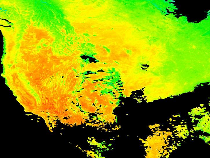
Remote sensing data's drought-indicating parameters are essential to manage the impact of water scarcities and minimize drought losses.
June 27, 2018

4 MIN READ
Learn how ASTER data are being used to study vegetation health and water in Africa.
May 23, 2018

7 MIN READ
Discover how remote sensing data support water monitoring, wildfire risk modeling, and identification of optimal rainwater harvesting locations.
April 25, 2018

4 MIN READ
Read how researchers from NASA's DEVELOP team analyzed temperature trends in the Northeast to create maps for the agricultural and energy industries.
April 13, 2018

3 MIN READ
Learn how a NASA DEVELOP project used MODIS and ASTER data to create a model of social vulnerability to fire hazards in the Appalachian forests.
March 7, 2018

3 MIN READ
See ASTER instrument images revealing the transformation of South Korea's Mount Gariwang for the 2018 Winter Olympics.
Feb. 21, 2018
6 MIN READ
Read highlights of three publications that detail how NASA Earth observation data informs measurement of surface temperature and energy balance, biomass, and reservoir water extent.
Feb. 5, 2018

2 MIN READ
The ability to understand where fish are likely to be and when they are likely to be there is critical for the sustainable management of fisheries.
Feb. 1, 2018
SHOWING 8 OF 186