Due to the lapse in federal government funding, NASA is not updating this website. We sincerely regret this inconvenience.
Data in Action
All across the planet, NASA Earth science data are used to meet real-world challenges.
Featured Data in Action
5 MIN READ
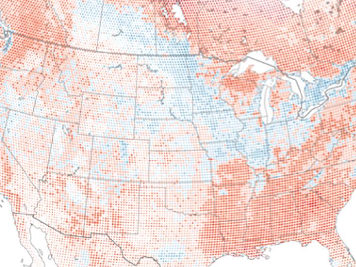
The eBird project uses NASA data and observations from amateur birdwatchers to provide insights into the decline in avian populations throughout North America.
June 17, 2025
5 MIN READ
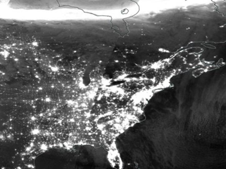
A comparison of aurora forecasts with actual satellite observations suggests VIIRS DNB data can enhance space weather prediction efforts.
May 30, 2025
Filters
4 MIN READ
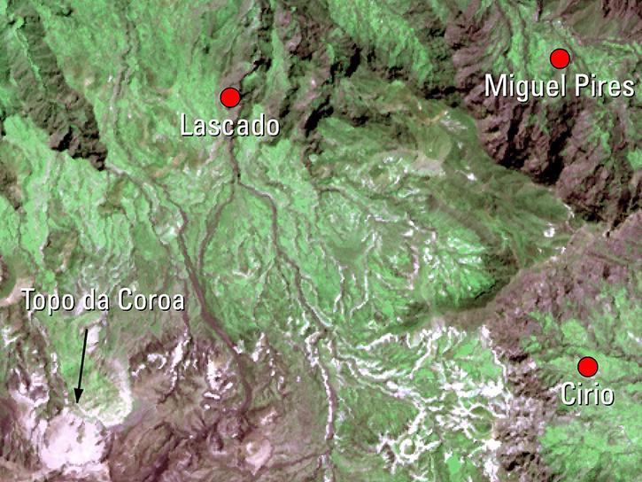
The West Africa Atlas uses ASTER data, aerial imagery, and ground images to illustrate changes and responses to environmental challenges in 17 countries.
March 1, 2017
4 MIN READ
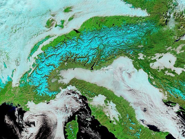
Satellite data from NASA's MODIS instrument illustrates the relationship between snow cover and temperature and the viability of skiing conditions over time.
Feb. 2, 2017
6 MIN READ
Read highlights of three publications that detail how NASA Earth observation data informs lake temperature measurement in Tibet, Margalla Hills National Park vegetation trends, and Stikine icefield mass loss.
Jan. 25, 2017
4 MIN READ
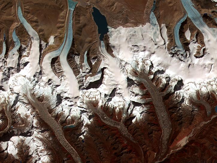
The Global Land Ice Measurements from Space (GLIMS) initiative uses satellite data to track glacier changes, providing vital data for climate and hazard studies.
Dec. 14, 2016
3 MIN READ
Discover how a NASA DEVELOP team developed a tool to understand drought impact and avoid long-term effects.
Nov. 30, 2016
4 MIN READ
Explore the stunning autumn foliage in Eastern Asia from space with NASA remote sensing data.
Nov. 9, 2016
6 MIN READ
Learn how satellite data supported landslide detection in the French Alps, flowering pattern analysis for beekeepers, and mangrove ecosystem monitoring in Bangladesh and India.
Oct. 29, 2016
5 MIN READ
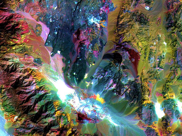
Researchers used ASTER data to generate a map identifying exposed minerals on the Conterminous United States.
Sept. 20, 2016
Pagination
SHOWING 8 OF 120
