Due to the lapse in federal government funding, NASA is not updating this website. We sincerely regret this inconvenience.
Data in Action
All across the planet, NASA Earth science data are used to meet real-world challenges.
Featured Data in Action
5 MIN READ
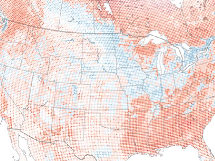
The eBird project uses NASA data and observations from amateur birdwatchers to provide insights into the decline in avian populations throughout North America.
June 17, 2025
5 MIN READ
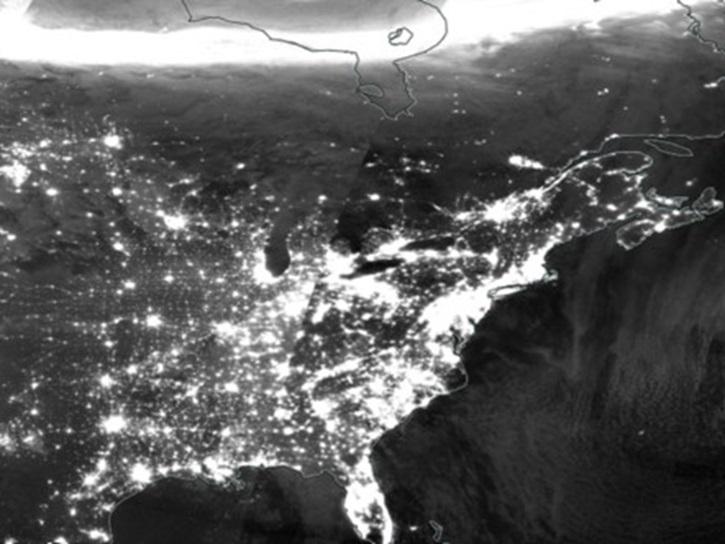
A comparison of aurora forecasts with actual satellite observations suggests VIIRS DNB data can enhance space weather prediction efforts.
May 30, 2025
Filters
4 MIN READ
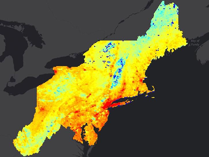
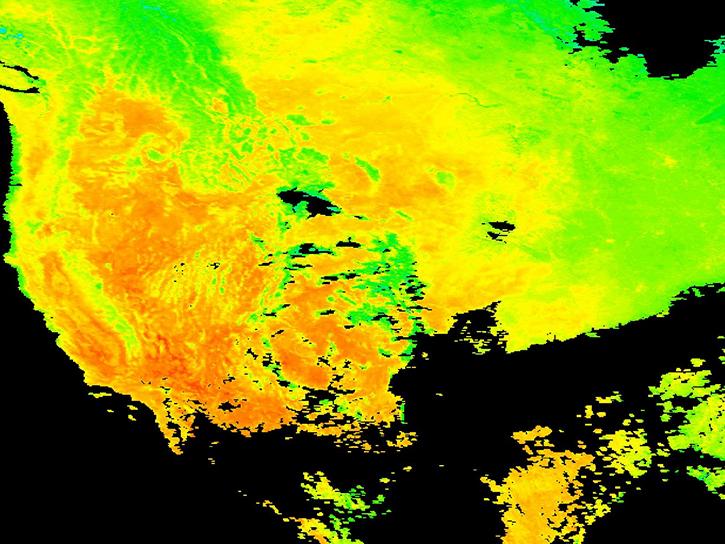
Read how researchers from NASA's DEVELOP team analyzed temperature trends in the Northeast to create maps for the agricultural and energy industries.
April 13, 2018
3 MIN READ
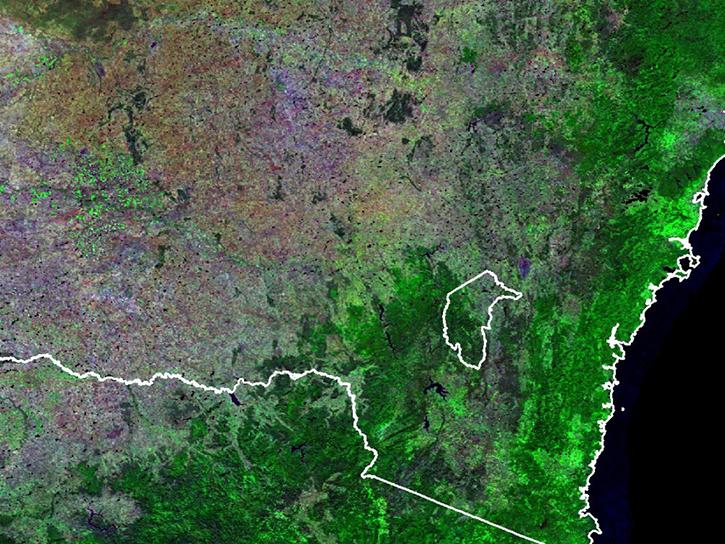
Learn how a NASA DEVELOP project used MODIS and ASTER data to create a model of social vulnerability to fire hazards in the Appalachian forests.
March 7, 2018
3 MIN READ
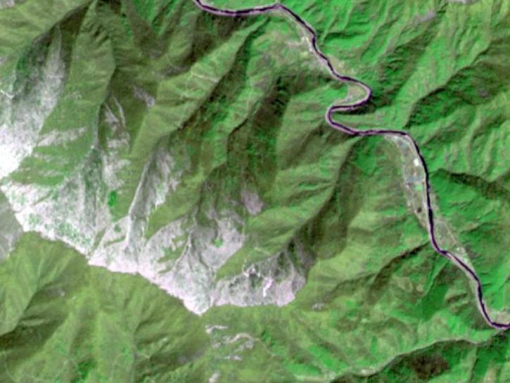
See ASTER instrument images revealing the transformation of South Korea's Mount Gariwang for the 2018 Winter Olympics.
Feb. 21, 2018
6 MIN READ
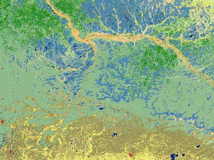
Read highlights of three publications that detail how NASA Earth observation data informs measurement of surface temperature and energy balance, biomass, and reservoir water extent.
Feb. 5, 2018
3 MIN READ
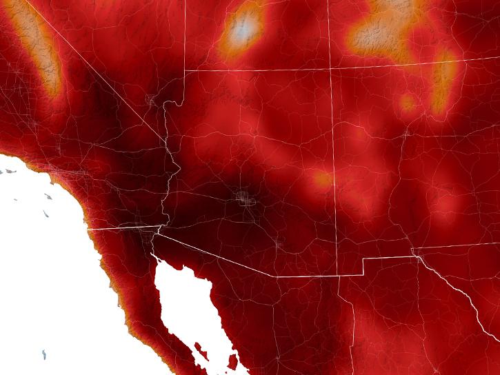
In Spring 2017, DEVELOP researchers in Phoenix used NASA data to determine how hot area bus stops are in summer to determine which ones need shelters.
Dec. 27, 2017
4 MIN READ
Learn how surface reflectance and albedo as measured by satellite data help scientists understand the topography and vegetation cover of Earth surfaces.
Nov. 30, 2017
6 MIN READ
Explore how MODIS data was used to support forest monitoring in Siberia, agricultural drought analysis across Africa, and fractal-based woodland extraction in Beijing.
Oct. 31, 2017
3 MIN READ
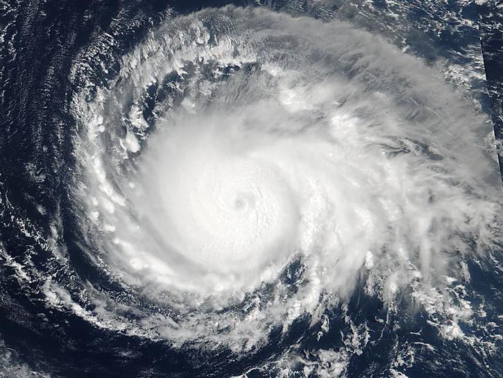
See how data from MODIS and VIIRS allow meteorologists to observe how a hurricane formed, where it went, how long it lasted, and its impact.
Oct. 19, 2017
Pagination
SHOWING 8 OF 120
