Due to the lapse in federal government funding, NASA is not updating this website. We sincerely regret this inconvenience.
Data in Action
All across the planet, NASA Earth science data are used to meet real-world challenges.
Featured Data in Action
5 MIN READ
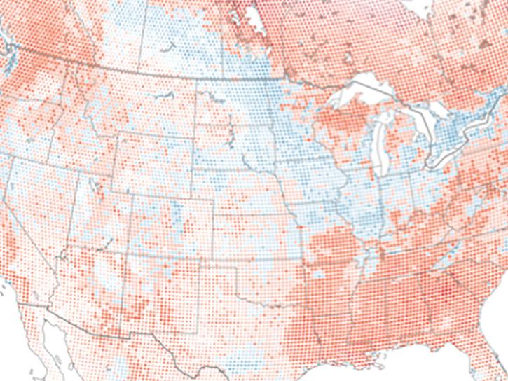
The eBird project uses NASA data and observations from amateur birdwatchers to provide insights into the decline in avian populations throughout North America.
June 17, 2025
5 MIN READ
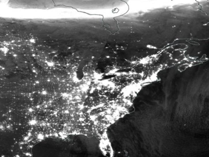
A comparison of aurora forecasts with actual satellite observations suggests VIIRS DNB data can enhance space weather prediction efforts.
May 30, 2025
Filters
4 MIN READ
Read stories from the 2017 issue of Sensing our Planet to learn about the many uses of MODIS data distributed by LP DAAC.
Dec. 19, 2018
5 MIN READ
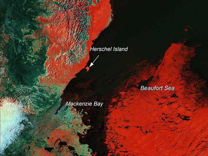
Learn how scientists use remote sensing data to study sea ice patterns to see how changes can influence weather, climate, and animal populations in these regions.
Dec. 6, 2018
4 MIN READ
Read stories from the 2016 issue of Sensing our Planet to learn about the many uses of MODIS data distributed by LP DAAC.
Nov. 28, 2018
3 MIN READ
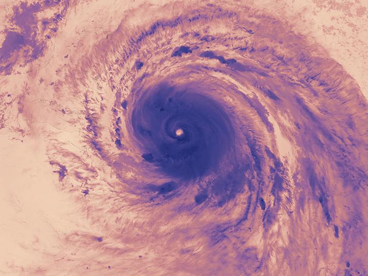
The Hurricane and Severe Storm Sentinel (HS3) field campaign helped researchers identify areas of heavy rain and wind within Ingrid ahead of landfall.
Nov. 15, 2018
6 MIN READ
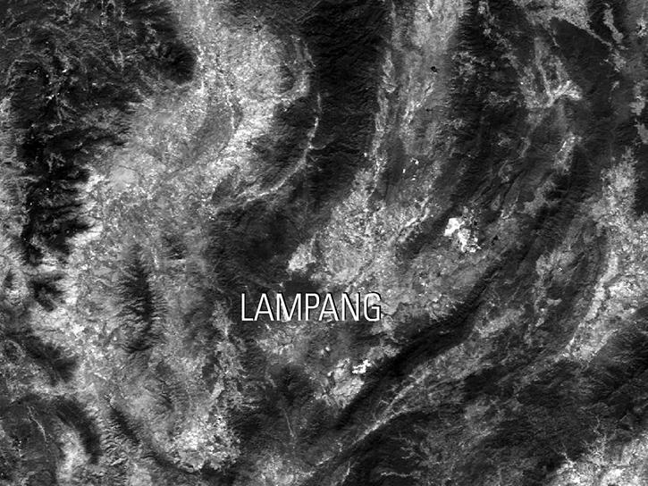
Learn how satellite data supported research on forest growing seasons in Thailand, land degradation risk in Cyprus, and agricultural yield forecasting in Eastern Europe.
Oct. 25, 2018
2 MIN READ
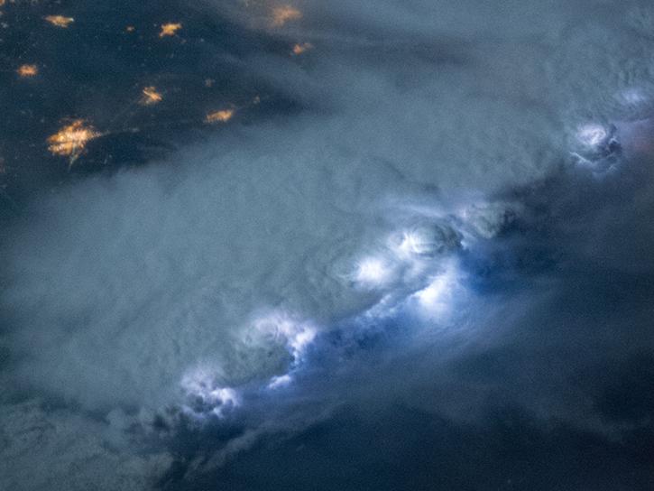
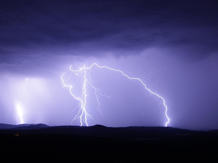
NASA's Lightning Imaging Sensor (LIS) surveyed lightning flashes of all shapes, sizes, and radiances across the tropics.
Oct. 19, 2018
2 MIN READ
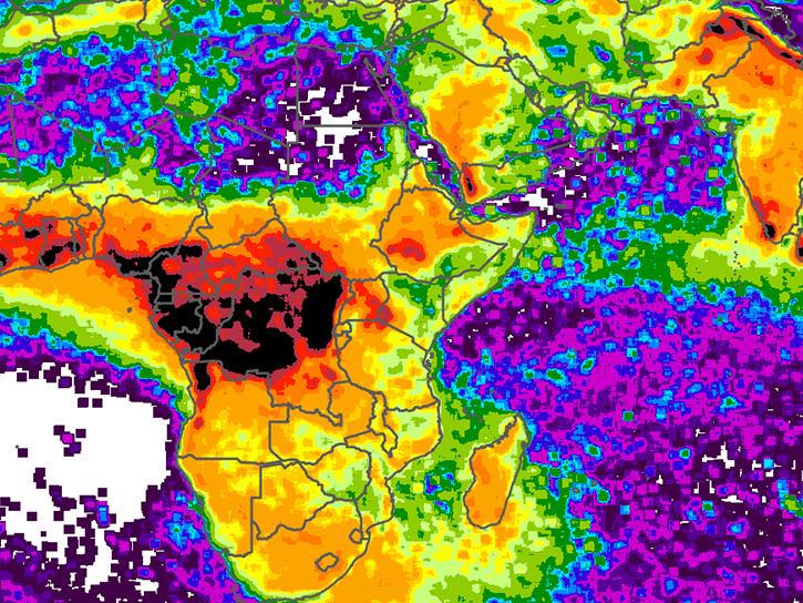
NASA's Global Hydrology Resource Center Distributed Active Archive Center (GHRC DAAC) has released 10 different gridded lightning climatology datasets.
Oct. 19, 2018
2 MIN READ
NASA climatology datasets have revealed Lake Maracaibo, Venezuela, as the peak lightning hotspot on Earth.
Oct. 19, 2018
Pagination
SHOWING 8 OF 120
