Delivery of Suomi National Polar-orbiting Partnership (Suomi NPP) satellite data products will cease on November 1, 2026. Data users should transition now to alternative products from NOAA-21 and NOAA-20.
Suomi NPP data announcement
Filters
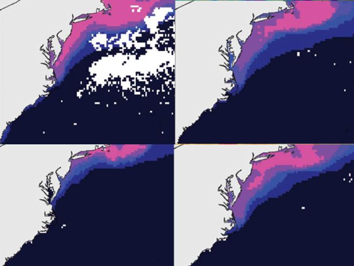
The ability to understand where fish are likely to be and when they are likely to be there is critical for the sustainable management of fisheries.
Data in Action
Feb. 1, 2018

Visualize lightning flash locations across several user-selected Lightning Imaging Sensor aboard the International Space Station (ISS LIS) swath data files and other processes.
Data Recipe
Jan. 4, 2018
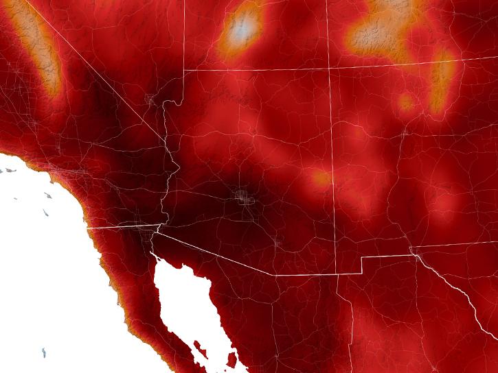
In Spring 2017, DEVELOP researchers in Phoenix used NASA data to determine how hot area bus stops are in summer to determine which ones need shelters.
Data in Action
Dec. 27, 2017
Sentinel-1 synthetic aperture radar (SAR) imagery is sensitive to standing water, making it an ideal tool for mapping the extent of floodwater covering an area.
Data Recipe
Dec. 3, 2017
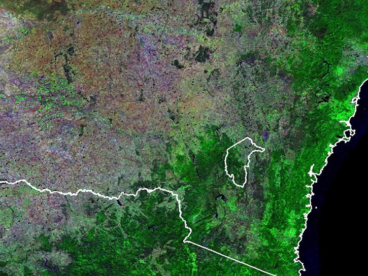
Learn how surface reflectance and albedo as measured by satellite data help scientists understand the topography and vegetation cover of Earth surfaces.
Data in Action
Nov. 30, 2017
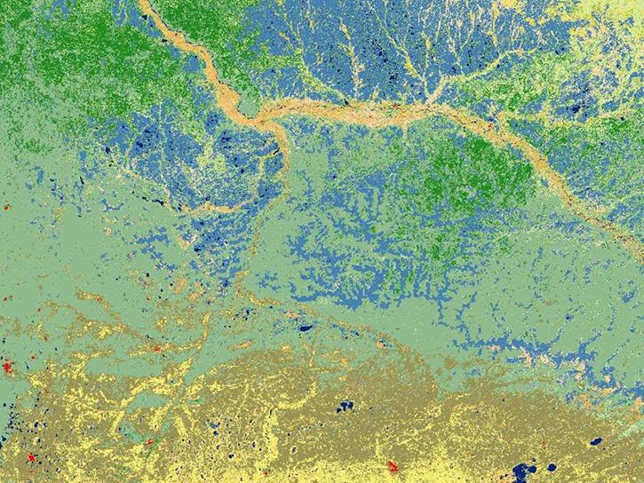
Explore how MODIS data was used to support forest monitoring in Siberia, agricultural drought analysis across Africa, and fractal-based woodland extraction in Beijing.
Data in Action
Oct. 31, 2017
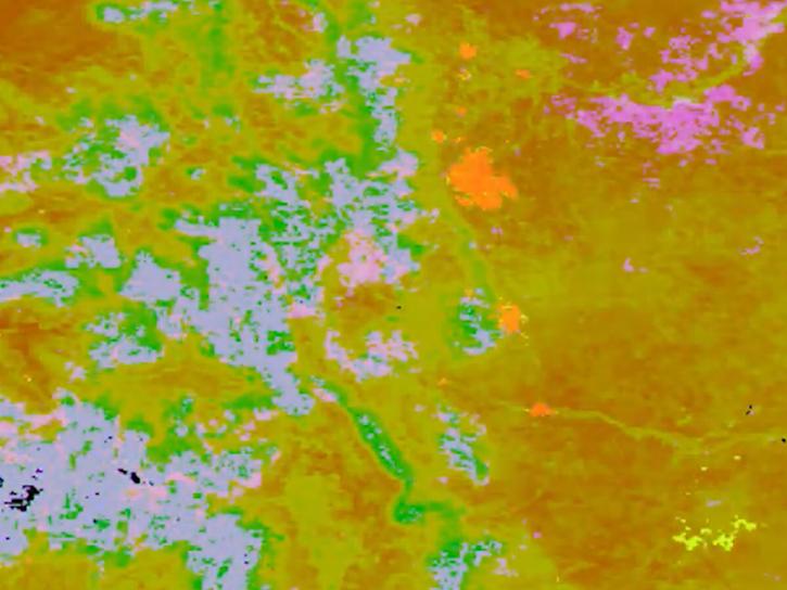
The Application for Extracting and Exploring Analysis Ready Samples (AppEEARS) Area Sampler allows users to extract, visualize, and download NASA data for an area of interest.
Tutorial
Oct. 25, 2017
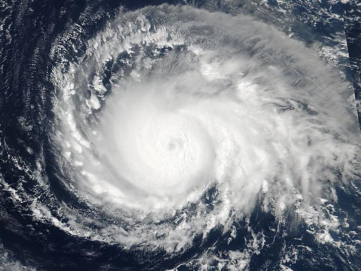
See how data from MODIS and VIIRS allow meteorologists to observe how a hurricane formed, where it went, how long it lasted, and its impact.
Data in Action
Oct. 19, 2017
SHOWING 8 OF 2404