We are in the process of migrating all NASA Earth science data sites into Earthdata from now until end of 2026. Not all NASA Earth science data and resources will appear here until then. Thank you for your patience as we make this transition.
Read about the Web Unification Project
Filters

NASA's Global Imagery Browse Services will be participating in the International Space Apps Challenge, a global hack-a-thon to build open source solutions to space- and Earth-related needs.
Blog
April 4, 2014
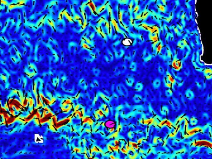
NASA's OSCAR data were used to analyze ocean currents to track debris fields for Malaysian Airlines flight 370.
Data in Action
April 4, 2014

GIBS will be expanding the data range and palette of the MODIS Aerosol Optical Depth products.
Blog
March 12, 2014
We're pleased to announce the open source release of the GIBS tiled imagery server and its underlying tile storage format on GitHub.
Blog
Feb. 4, 2014

NASA satellites and instruments provide global wave height observations and ocean vector winds on a daily basis.
Data in Action
Jan. 14, 2014

Aquarius detected the effects of an extreme Mississippi river flooding event into the Gulf of America.
Data in Action
Nov. 11, 2013
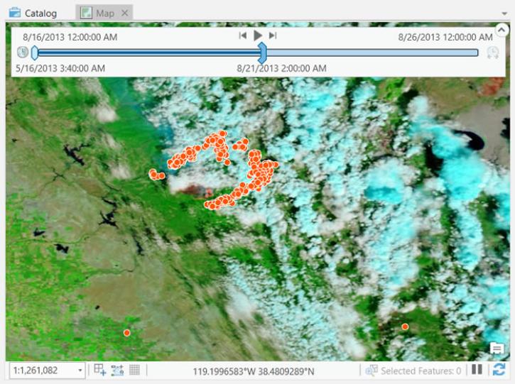
This tutorial shows how using ArcGIS Pro, MODIS Bands 7-2-1 and VIIRS M11-I2-I1 Corrected Reflectance Imagery can be viewed in combination with the active fire data to identify fire-affected areas that are characterized by deposits of charcoal and ash, removal of vegetation and/or alteration of vegetation structure.
Tutorial
Aug. 26, 2013
This tutorial shows how Worldview, MODIS, and VIIRS imagery can be combined with active fire data to identify areas affected by deposits of charcoal and ash and by removal or alteration of vegetation structure.
Tutorial
Aug. 26, 2013
SHOWING 8 OF 2388