We are in the process of migrating all NASA Earth science data sites into Earthdata from now until end of 2026. Not all NASA Earth science data and resources will appear here until then. Thank you for your patience as we make this transition.
Read about the Web Unification Project
Filters

Croissant is a format developed for describing datasets used in machine learning (ML) that aims to simplify working with datasets across ML platforms and repositories.
Blog
March 28, 2024
Worldview lets users browse more than 1,000 satellite imagery layers, create visualizations, and download the underlying datasets.
Feature Article
March 28, 2024
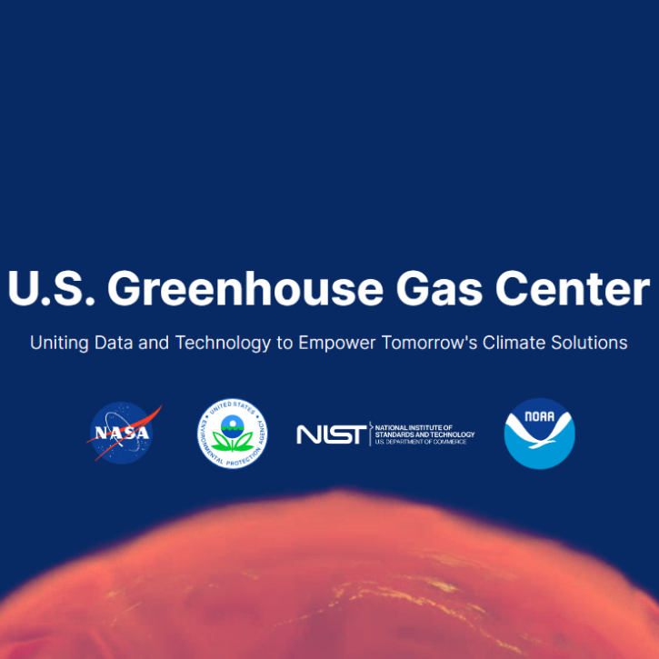
The U.S. Greenhouse Gas Center expedites the use of Earth science data related to methane, carbon dioxide, and other greenhouse gas datasets by offering openly available information in a central location.
Blog
March 26, 2024

The 15-day maneuver will temporarily lead to missing granules and some data degradation.
News
March 26, 2024

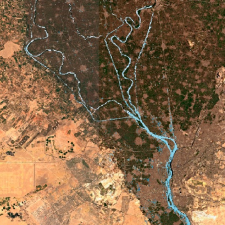
Discover the process of using synthetic aperture radar (SAR) for visualizing changes in a landscape caused by disturbances such as floods, deforestation, agriculture, and freeze/thaw cycles.
Tutorial
March 23, 2024
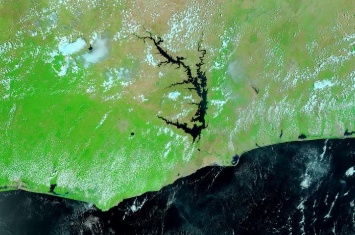
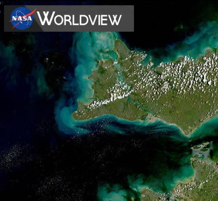
Image captured March 16, 2024, by the VIIRS instrument aboard the joint NASA/NOAA Suomi NPP satellite.
Worldview Image of the Week
March 21, 2024

The Geostationary Earth Orbit (GEO) – Low-Earth Orbit (LEO) Dark Target Aerosol product suite enables users to track rapid changes and movements in smoke and dust plumes that can severely impact air quality.
News
March 19, 2024
A workshop hosted by NASA's Physical Oceanography Distributed Active Archive Center (PO.DAAC) explored data and resources for working with observations from the Surface Water and Ocean Topography (SWOT) mission.
Blog
March 18, 2024
SHOWING 8 OF 2371