Delivery of Suomi National Polar-orbiting Partnership (Suomi NPP) satellite data products will cease on November 1, 2026. Data users should transition now to alternative products from NOAA-21 and NOAA-20.
Suomi NPP data announcement
Atmosphere Learning Resources
Webinars, tutorials, data recipes and more to help you work with Atmosphere.
Filters
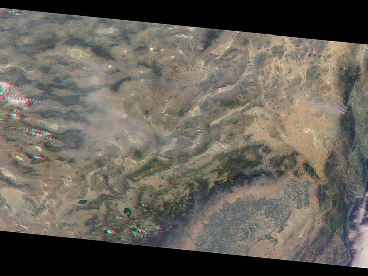
This study analyzes 23,000 globally distributed wildfire smoke plume injection heights from MISR, stratified by region, biome, and month or season.
Data in Action
Oct. 10, 2018
This ARSET training introduces satellites with a high temporal resolution for air quality applications.
Training
Sept. 4-25, 2018
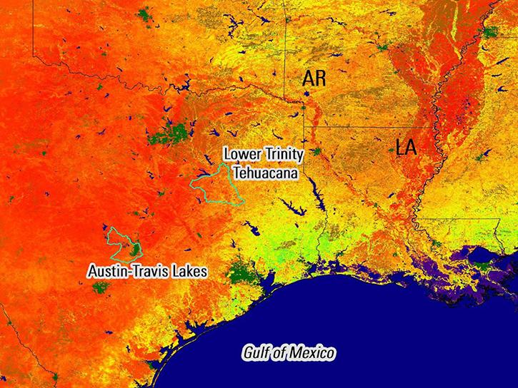
Remote sensing data's drought-indicating parameters are essential to manage the impact of water scarcities and minimize drought losses.
Data in Action
June 27, 2018
This ARSET training teaches how to use Python scripts to map and analyze air quality data through hands-on exercises.
Training
Jan. 17-22, 2018

Visualize lightning flash locations across several user-selected Lightning Imaging Sensor aboard the International Space Station (ISS LIS) swath data files and other processes.
Data Recipe
Jan. 4, 2018
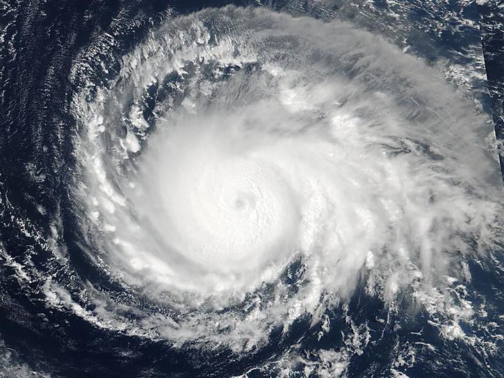
See how data from MODIS and VIIRS allow meteorologists to observe how a hurricane formed, where it went, how long it lasted, and its impact.
Data in Action
Oct. 19, 2017

This data recipe shows how to bring gridded netCDF data into ArcMap and create a GeoTIFF file enabling GIS analysis and map making.
Data Recipe
Oct. 10, 2017
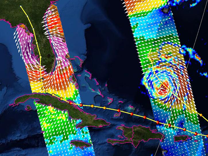
Learn how the interactive platform helps researchers analyze hurricane data.
Data in Action
Oct. 3, 2017
SHOWING 8 OF 173
Frequently Asked Questions
Earthdata Forum
Our online forum provides a space for users to browse thousands of FAQs about research needs, data, and data applications. You can also submit new questions for our experts to answer.
Submit Questions to Earthdata Forumand View Expert Responses