We are in the process of migrating all NASA Earth science data sites into Earthdata from now until end of 2026. Not all NASA Earth science data and resources will appear here until then. Thank you for your patience as we make this transition.
Read about the Web Unification Project
Carbon Flux Data Access and Tools
NASA has carbon flux datasets that help researchers characterize how carbon flows through natural and built environments. Access a range of data and data tools such as AppEEARS, Worldview, and Giovanni to make the most of carbon flux data.
Table of contents
Carbon Flux Datasets
| Dataset | Platforms | Instruments | Temporal Extent | Location Keywords | Spatial Extent | Data Format |
|---|---|---|---|---|---|---|
| ABoVE: Level-4 WRF-STILT Footprint Files for Circumpolar Receptors, 2016-2019 | OCO-2, MODELS, WRF | OCO-2, Computer | 2016-07-24 to 2019-12-31 | POLAR | N: 90 S: 30 E: 180 W: -180 | netCDF-4 |
| ABoVE: Level-4 WRF-STILT Particle Trajectories for Circumpolar Receptors, 2016-2019 | WRF, COMPUTERS, OCO-2 | Computer, OCO-2 | 2016-07-24 to 2019-12-31 | POLAR | N: 90 S: 10 E: 180 W: -180 | netCDF-4 |
| ABoVE: Light-Curve Modelling of Gridded GPP Using MODIS MAIAC and Flux Tower Data | Terra, MODELS, METEOROLOGICAL STATIONS, Aqua | MODIS, Computer, MMS | 2000-01-01 to 2018-01-01 | CANADA, ALASKA | N: 79.7489 S: 50.0604 E: -73.6407 W: -172.078 | HDF4 |
| ABoVE: Year-Round Soil CO2 Efflux in Alaskan Ecosystems, Version 2.1 | FIELD SURVEYS | SURVEYING TOOLS, Campbell Scientific CR800, THERMOCOUPLES | 2016-08-18 to 2023-09-02 | ALASKA | N: 70.47 S: 63.8801 E: -146.558 W: -157.41 | CSV |
| CMS-Flux-NA Fluxes and Aircraft CO2 Co-samples for 2018-2019 | COMPUTERS | Computer | 2018-01-01 to 2019-12-31 | NORTH AMERICA | N: 76.25 S: 13.75 E: -39.6875 W: -167.812 | netCDF-4 |
| Coastal Wetland Elevation and Carbon Flux Inventory with Uncertainty, USA, 2006-2011 | MODELS | Computer | 2006-01-01 to 2011-12-31 | UNITED STATES OF AMERICA | N: 48.9917 S: 20.3831 E: -56.6627 W: -135.028 | multiple |
| Ecosys Model-Estimated Cropland Carbon Fluxes, Illinois, Indiana, and Iowa, 2001-2018 | COMPUTERS | Computer | 2001-01-01 to 2018-12-31 | ILLINOIS, INDIANA, IOWA | N: 43.5012 S: 36.9703 E: -84.7846 W: -96.6397 | Shapefile |
| GeoCryoAI: Ensemble Learning and the Permafrost Carbon Feedback in Alaska, 1963-2022 | COMPUTERS | Computer | 1960-01-01 to 2022-12-31 | ALASKA | N: 72 S: 54 E: -134.776 W: -170 | TAR |
| Global Forest Aboveground Carbon Stocks and Fluxes from GEDI and ICESat-2, 2018-2021 | ICESat-2, ISS | ATLAS, GEDI | 2018-10-01 to 2021-10-01 | GLOBAL LAND | N: 90 S: -90 E: 180 W: -180 | COG |
| Global-Gridded Daily Methane Emissions Climatology from Lake Systems, 2003-2015 | MERRA-2, LANDSAT | Computer | 2012-01-01 to 2012-12-31 | GLOBAL LAND | N: 90 S: -90 E: 180 W: -180 | netCDF-4 classic |
Featured Carbon Flux Observation Method: MODIS
The Moderate Resolution Imaging Spectroradiometer (MODIS) can image Earth across 36 channels every one to two days. The instrument can be used to calculate carbon dioxide emitted from various sources from plants to power plants making it a valuable device for understanding carbon fluxes and the global carbon cycle.
Researchers taught the SatVision Top-of-Atmosphere foundation model to recognize MODIS imagery features.
4 MIN READ
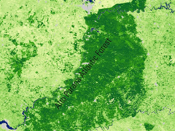
See how MODIS Leaf Area Index data are used to complement in situ data to evaluate seasonal changes in the relationship between canopy cover and photosynthesis.
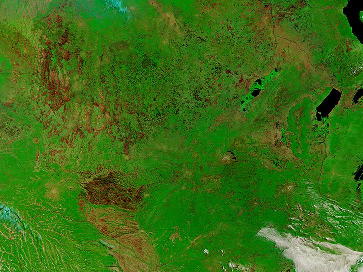
Join us to learn how to discover, subset, access and visualize both MODIS and VIIRS data products using a suite of user-friendly tools developed by NASA's ORNL DAAC.
Learn how to access and use Moderate Resolution Imaging Spectroradiometer (MODIS) Version 6 land data.
Frequently Asked Questions
Earthdata Forum
Our online forum provides a space for users to browse thousands of FAQs about research needs, data, and data applications. You can also submit new questions for our experts to answer.
Submit Questions to Earthdata Forumand View Expert Responses


