Access the datasets and tools you need to make the most of surface radiative properties research.
Surface Radiative Properties Data Access and Tools
Surface Radiative Properties Datasets
| Dataset Sort descending | Version | Platform | Instrument | Temporal Extent | Spatial Extent | Spatial Resolution | Data Format |
|---|---|---|---|---|---|---|---|
| VIIRS/NPP Surface Reflectance Daily L2G Global 1km and 500m SIN Grid V002 | 002 | Suomi-NPP | VIIRS | 2012-01-17 to Present |
N: 90 S: -90 E: 180 W: -180 |
500 Meters x 500 Meters 1000 Meters x 1000 Meters |
HDF-EOS5 |
| VIIRS/NPP Surface Reflectance Daily L2G Global 1km and 500m SIN Grid V002 | 002 | Suomi-NPP | VIIRS | 2012-01-17 to Present |
N: 90 S: -90 E: 180 W: -180 |
500 Meters x 500 Meters 1000 Meters x 1000 Meters |
HDF-EOS5 |
| VIIRS/NPP Surface Reflectance Daily L3 Global 0.05 Deg CMG NRT | 2 | Suomi-NPP | VIIRS | 2023-10-10 to Present |
N: 90 S: -90 E: 180 W: -180 |
375 Meters x 375 Meters | HDF5 |
| VIIRS/NPP Surface Reflectance Daily L3 Global 0.05Deg CMG V002 | 002 | Suomi-NPP | VIIRS | 2012-01-17 to Present |
N: 90 S: -90 E: 180 W: -180 |
5600 Meters x 5600 Meters | HDF-EOS5 |
| VIIRS/NPP Surface Reflectance Daily L3 Global 0.05Deg CMG V002 | 002 | Suomi-NPP | VIIRS | 2012-01-17 to Present |
N: 90 S: -90 E: 180 W: -180 |
5600 Meters x 5600 Meters | HDF-EOS5 |
| VIIRS/NPP Thermal Anomalies/Fire 6-Min L2 Swath 750m NRT | 1 | Suomi-NPP | VIIRS | 2018-07-01 to Present |
N: 80 S: -80 E: 180 W: -180 |
750 Meters x 750 Meters | hdf |
| VIIRS/NPP Thermal Anomalies/Fire 6-Min L2 Swath 750m NRT V2 | 2 | Suomi-NPP | VIIRS | 2024-03-05 to Present |
N: 90 S: -90 E: 180 W: -180 |
750 Meters x 750 Meters | NetCDF |
| VIIRS/NPP Vegetation Indices 8-Day L3 Global 500m SIN Grid | 2 | Suomi-NPP | VIIRS | 2025-01-01 |
N: 90 S: -90 E: 180 W: -180 |
500 Meters x 500 Meters | HDF5 |
| VIIRS/NPP+JPSS Combined Surface Reflectance from MAIAC Daily L3 Global at 0.05Deg CMG V002 | 002 | Suomi-NPP, NOAA-20 | VIIRS | 2012-01-19 to Present |
N: 90 S: -90 E: 180 W: -180 |
5600 Meters x 5600 Meters | HDF-EOS5 |
| VIIRS/NPP+JPSS Combined Vegetation Index and Snow Products from MAIAC Daily L3 Global at 0.05Deg CMG V002 | 002 | Suomi-NPP, NOAA-20 | VIIRS | 2012-01-19 to Present |
N: 90 S: -90 E: 180 W: -180 |
5600 Meters x 5600 Meters | HDF-EOS5 |
| VIIRS/NPP+JPSS1 BRDF Model Parameters Daily L3 Global 750m RSIN Grid V002 | 002 | Suomi-NPP, NOAA-20 | VIIRS | 2012-01-19 to Present |
N: 90 S: -90 E: 180 W: -180 |
750 Meters x 750 Meters | HDF-EOS5 |
| Water Quality and Spectral Reflectance, Peace-Athabasca Delta, Canada, 2010-2011 | 2 | FIELD INVESTIGATION, LABORATORY | SPECTROPHOTOMETERS, SPECTROMETERS, DRIFTING BUOYS, FLUOROMETERS, STEEL MEASURING TAPE, THERMISTORS, TURBIDITY METERS, CONDUCTIVITY METERS, BALANCE | 2010-06-21 to 2011-07-06 |
N: 58.9931 S: 58.3881 E: -110.839 W: -111.928 |
CSV | |
| WDTS: AVIRIS-Classic L2B Corrected and Georectified Surface Reflectance, 2013-2018 | 1 | NASA ER-2 | AVIRIS | 2013-04-10 to 2018-08-16 |
N: 39.6409 S: 30.7414 E: -115.111 W: -123.642 |
multiple |
Featured Surface Radiative Properties Observation Method: OLI
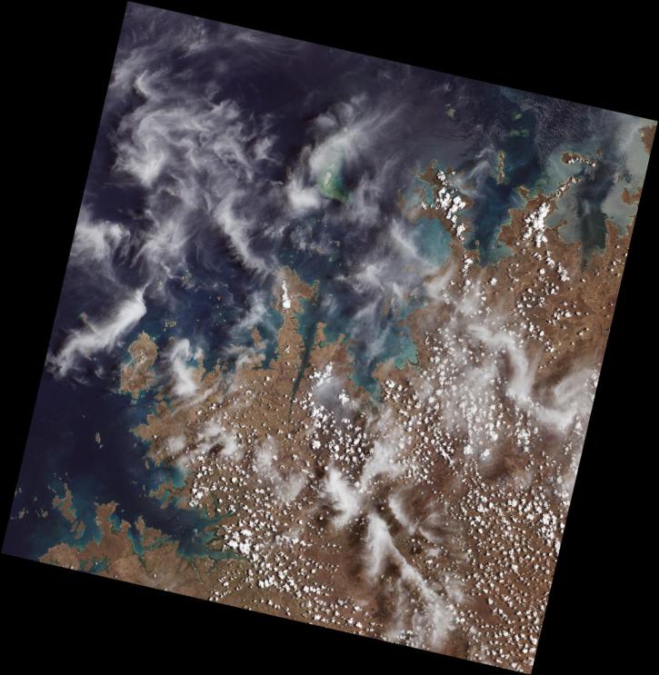
The Operational Land Imager (OLI) flies aboard NASA's Landsat 8 satellite, and an identical instrument, OLI-2, flies aboard Landsat 9. It measures in the visible, near infrared, and shortwave infrared portions of the spectrum, covering wide areas of Earth's landscape. Data products derived from OLI include a surface reflectance product.
Frequently Asked Questions
Earthdata Forum
Our online forum provides a space for users to browse thousands of FAQs about research needs, data, and data applications. You can also submit new questions for our experts to answer.
Submit Questions to Earthdata Forumand View Expert Responses