We are in the process of migrating all NASA Earth science data sites into Earthdata from now until end of 2026. Not all NASA Earth science data and resources will appear here until then. Thank you for your patience as we make this transition.
Read about the Web Unification Project
Topography Learning Resources
Webinars, tutorials, data recipes and more to help you work with Topography.
Filters

Learn to convert among common synthetic aperture radar (SAR) scales including Power, Amplitude, and dB.
Tutorial
Nov. 16, 2020
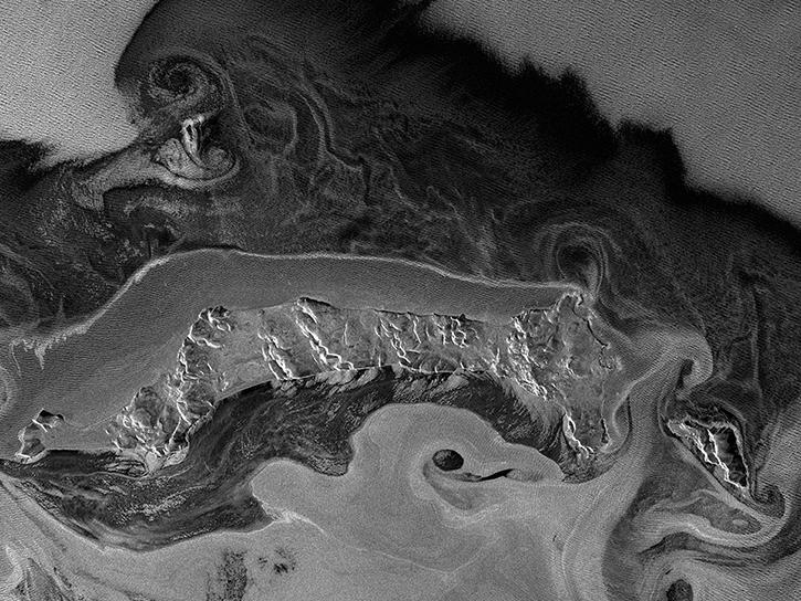
Learn how to convert among common SAR scales, including power, amplitude, and dB with data from NASA’s Alaska Satellite Facility Distributed Active Archive Center (ASF DAAC).
StoryMap
Nov. 16, 2020

Learn how to order Radiometrically Terrain Corrected (RTC) Sentinel-1 synthetic aperture radar (SAR) products through Vertex.
Tutorial
Nov. 11, 2020
Work with radiometrically terrain corrected (RTC) Sentinel-1 synthetic aperture radar (SAR) datasets from NASA’s Alaska Satellite Facility Distributed Active Archive Center (ASF DAAC).
StoryMap
Nov. 11, 2020

Get to know NASA's Land Processes Distributed Active Archive Center (LP DAAC) in this Tech Talk Webinar.
Webinar
Oct. 1, 2020
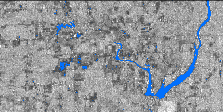
In this webinar, we will demonstrate approaches for using SAR datasets in GIS environments to detect landscape change and map flooding events with a focus on Sentinel-1 datasets.
Webinar
July 10, 2020
Learn how to view Seasat HDF5 files in Alaska Satellite Facility Distributed Active Archive Center (ASF DAAC) MapReady in this NASA data recipe.
Data Recipe
May 20, 2020

Researchers used NASA satellite data to improve water resource management in South and Southeast Asia.
Data in Action
May 13, 2020
SHOWING 8 OF 56
Frequently Asked Questions
Earthdata Forum
Our online forum provides a space for users to browse thousands of FAQs about research needs, data, and data applications. You can also submit new questions for our experts to answer.
Submit Questions to Earthdata Forumand View Expert Responses