We are in the process of migrating all NASA Earth science data sites into Earthdata from now until end of 2026. Not all NASA Earth science data and resources will appear here until then. Thank you for your patience as we make this transition.
Read about the Web Unification Project
Water, snow, and ice are necessary for sustaining life on Earth and help connect the planet's systems. The terrestrial hydrosphere includes water on the land surface and underground in the form of lakes, rivers, and groundwater along with total water storage. NASA tracks nearly every aspect of the water cycle — where precipitation is falling, where snow and ice are melting, the amount of water soaking into the soil, how water moves in rivers and lakes, how it's taken up by plants and used by animals, and the amount of water evaporating back into the atmosphere.
Data collected by NASA’s Earth-observing instruments provide information on the terrestrial hydrosphere including watershed extent, water quality, changes in surface and groundwater, and water surface elevation. In addition, NASA hydrospheric model data provide information on runoff and evapotranspiration.
Our data provide information about many aspects of snow and ice development and processes, ground and surface water quality and chemistry, and the inflow and outflow of water from a region through rainfall, evaporation, runoff, seepage, and other means.
Terrestrial Hydrosphere Subtopics
Discover and Visualize Terrestrial Hydrosphere Data
Image
Latest Terrestrial Hydrosphere News
2 MIN READ
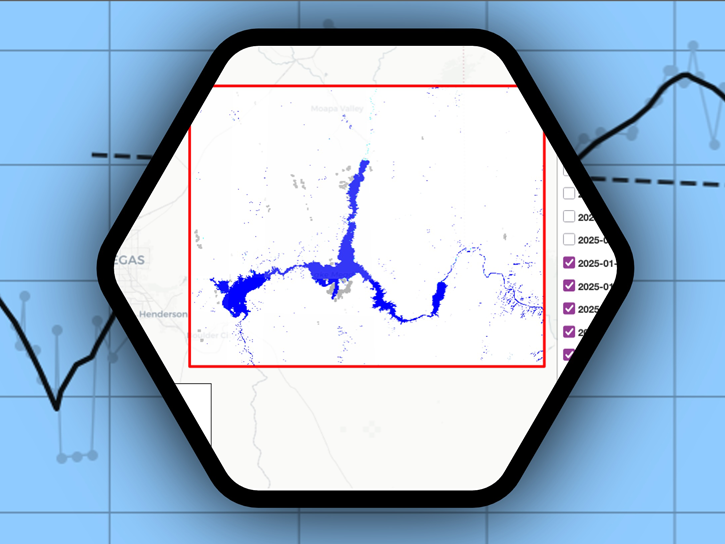
Streamline access and analysis of OPERA surface water extent with GIS services while avoiding downloading and managing data locally.
News

2 MIN READ
OPERA's dynamic surface water extent layer and Landsat images show extremely low water levels in this Arizona reservoir in June 2026.
Worldview Image of the Week
5 MIN READ
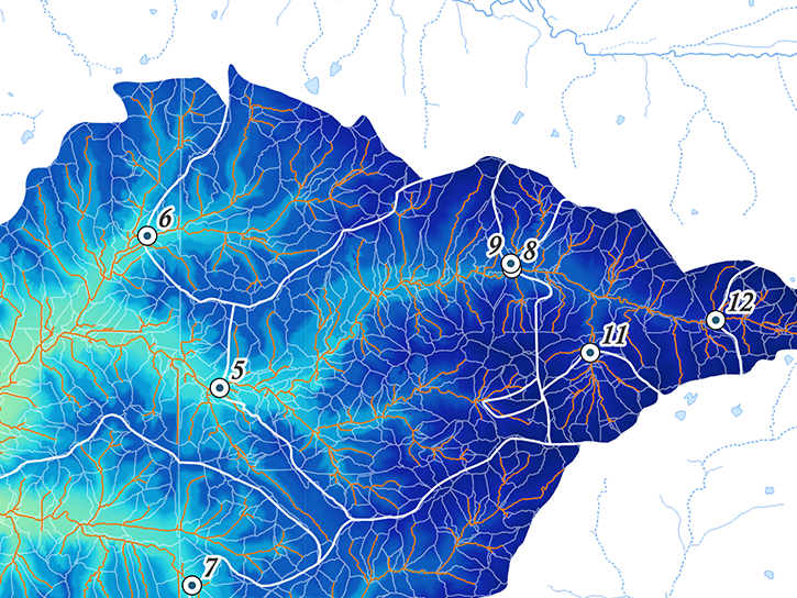
The NLDAS-2 dataset was added to the AIMS decision-making platform to create hydrology and water quality simulations for farmers and land managers across the country.
News
Join Our Community of NASA Data Users
While NASA data are openly available without restriction, an Earthdata Login is required to download data and to use some tools with full functionality.
Learn About the Benefits of Earthdata LoginFrequently Asked Questions
Earthdata Forum
Our online forum provides a space for users to browse thousands of FAQs about research needs, data, and data applications. You can also submit new questions for our experts to answer.
Submit Questions to Earthdata Forumand View Expert Responses