We are in the process of migrating all NASA Earth science data sites into Earthdata from now until end of 2026. Not all NASA Earth science data and resources will appear here until then. Thank you for your patience as we make this transition.
Read about the Web Unification Project
Featured Projects
NASA's Applied Remote Sensing Training (ARSET) program teaches people to use Earth-observing data in their environmental management and decision-making.

At night, satellite images of Earth capture a uniquely human signal—artificial lighting. Remotely-sensed lights at night improve our understanding of interactions between human systems and the environment.
Explore All Projects
Filters

The GEWEX global data analysis projects obtained observations of the elements of the global energy and water cycle with sufficient detail and accuracy to diagnose the causes of recent climate variations in terms of the energy and water exchanges among the main climate components.

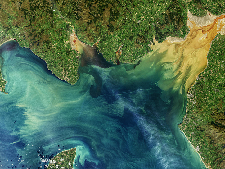
GHRSST is an international project that provides access to the new generation of global coverage high resolution sea surface temperature datasets.
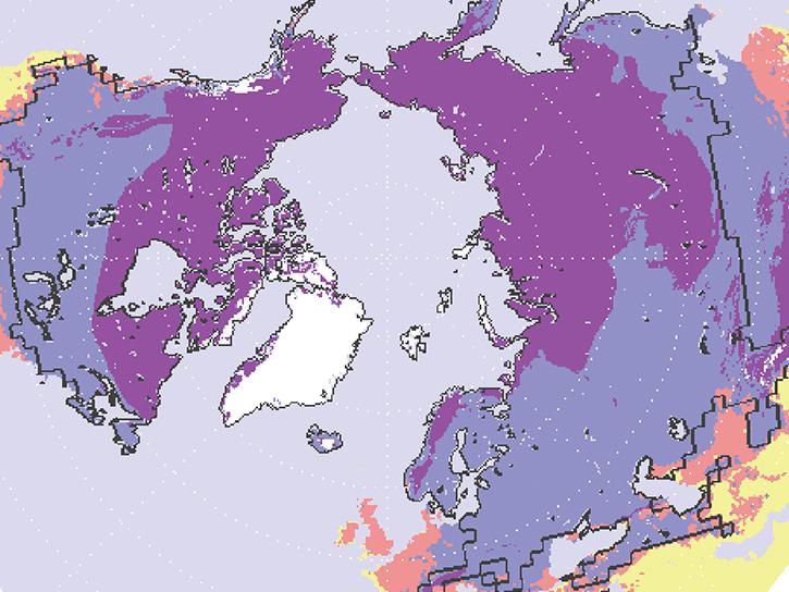
The objective of the multi-agency GIIPSY project was to obtain high-definition satellite snapshots of the polar regions during 2007-2008.

Discover, explore, and access Geographic Information Systems (GIS) resources to better understand our planet. Using GIS, you can leverage NASA's Earth observations to perform analysis, create maps, and develop applications.
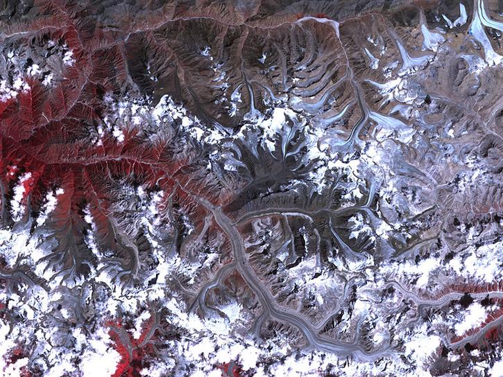
GLIMS is an international initiative to survey the world’s glaciers and produce a constantly updated glacier inventory.

GloSSAC is a 38-year climatology of stratospheric aerosol properties focused on extinction coefficient measurements by the SAGE instruments through mid-2005 and on the OSIRIS and CALIPSO data thereafter.
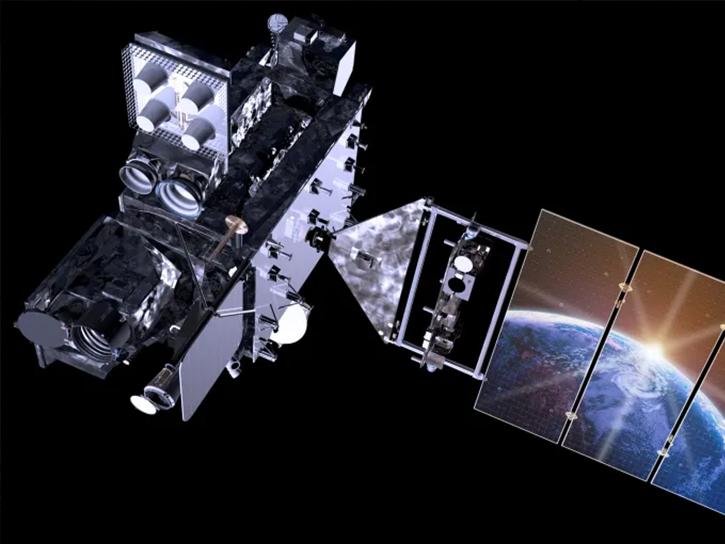
NASA's GOES-R Post Launch Test (PLT) field campaign was a collaborative mission to validate the Advanced Baseline Imager (ABI) and Geostationary Lightning Mapper (GLM) instruments aboard the GOES-R, now GOES-16, satellite.
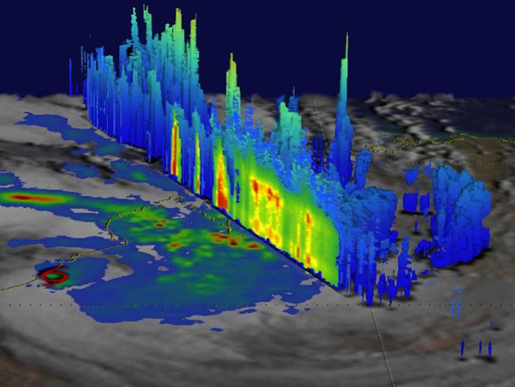
The Global Precipitation Measurement Mission Ground Validation (GPM GV) project provides ground and airborne precipitation datasets to validate satellite-based precipitation retrieval algorithms.
SHOWING 8 OF 199