We are in the process of migrating all NASA Earth science data sites into Earthdata from now until end of 2026. Not all NASA Earth science data and resources will appear here until then. Thank you for your patience as we make this transition.
Read about the Web Unification Project
Featured Projects

NASA's Applied Remote Sensing Training (ARSET) program teaches people to use Earth-observing data in their environmental management and decision-making.

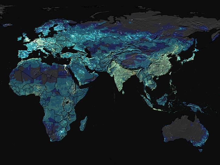
At night, satellite images of Earth capture a uniquely human signal—artificial lighting. Remotely-sensed lights at night improve our understanding of interactions between human systems and the environment.
Explore All Projects
Filters

The GPM GV field campaign at the University of Connecticut provided an unprecedented set of wintry precipitation observations from precipitation measurement instruments that validate ground-based and satellite remote sensing observations.
The Gridded Population of the World (GPW) data product provides population size and density from 2010 in a gridded format (30 arc-seconds) that is easily combined with Earth science data.
The Genesis and Rapid Intensification Processes (GRIP) experiment studied how tropical storms form and develop into major hurricanes.

The GSESA database contains global, monthly climatology infrared emissivity functional Empirical Orthogonal Function (EOF) scores in 0.25 x 0.25 latitude-longitude resolution.
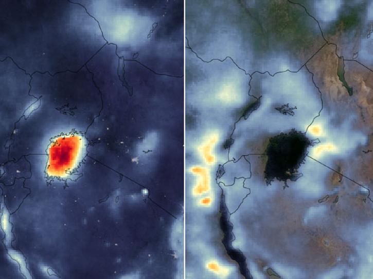
The High Impact Weather Lake System (HIGHWAY) project provided regular weather forecasts and severe weather warnings for fishing boats and small transport vessels on Lake Victoria.
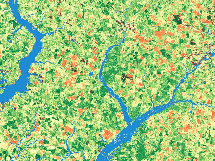
The Harmonized Landsat and Sentinel-2 (HLS) project generates global land surface reflectance data every 1.6 days at 30 meter resolution.
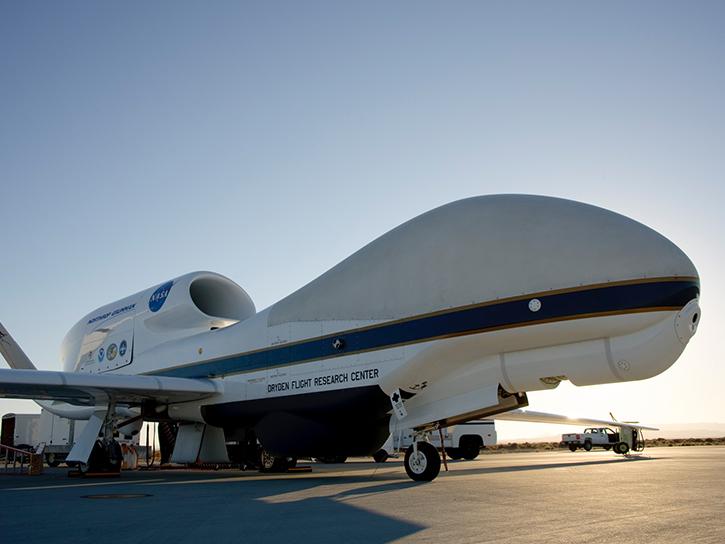
NASA's Hurricane and Severe Storm Sentinel (HS3) project was an airborne field campaign focused on better understanding the physical processes that control hurricane intensity change.

The HSI-HABS project collected visible to near-infrared hyperspectral data with a custom-made hyperspectral imager aboard aircraft at NASA's Glenn Research Center.
SHOWING 8 OF 199