Delivery of Suomi National Polar-orbiting Partnership (Suomi NPP) satellite data products will cease on November 1, 2026. Data users should transition now to alternative products from NOAA-21 and NOAA-20.
Suomi NPP data announcement
Featured Projects
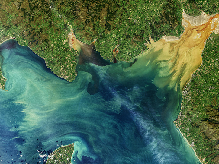
NASA's Applied Remote Sensing Training (ARSET) program teaches people to use Earth-observing data in their environmental management and decision-making.

At night, satellite images of Earth capture a uniquely human signal—artificial lighting. Remotely-sensed lights at night improve our understanding of interactions between human systems and the environment.
Explore All Projects
Filters
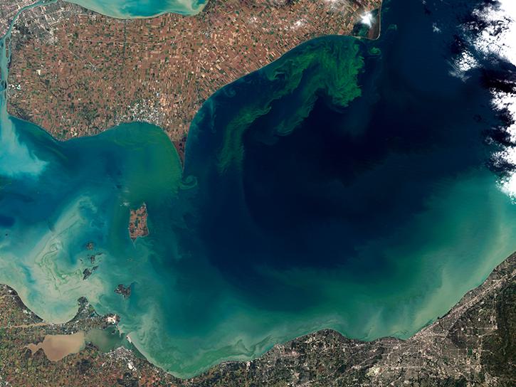
The HSI-HABS project collected visible to near-infrared hyperspectral data with a custom-made hyperspectral imager aboard aircraft at NASA's Glenn Research Center.
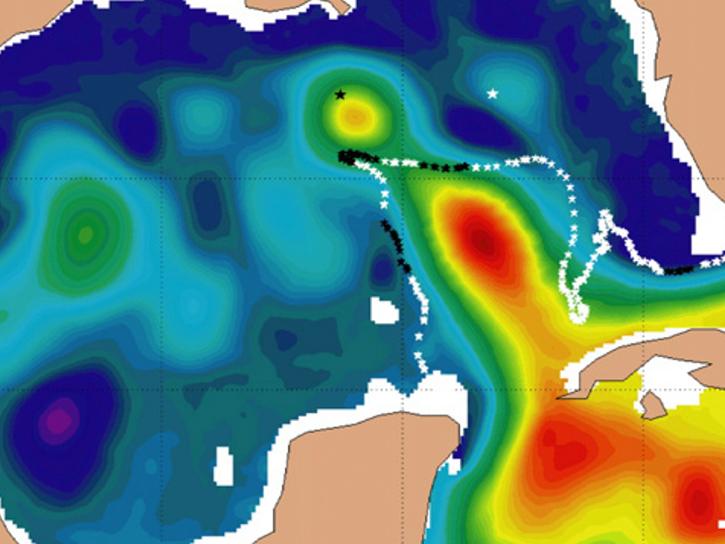
HYCOM consortium developed a data-assimilative hybrid isopycnal-sigma-pressure coordinate ocean model.
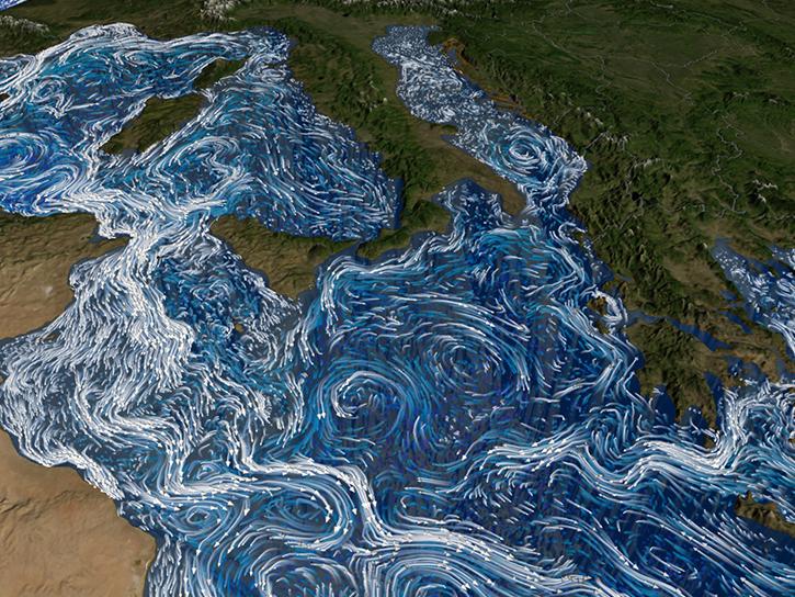
NASA's Hydrological Cycle in the Mediterranean Experiment (HyMeX) field campaign aimed to improve the understanding, quantifying, and modeling of the hydrological cycle in the Mediterranean.
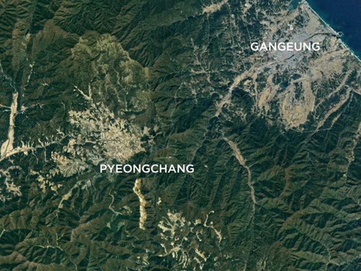
NASA's International Collaborative Experiment for PyeongChang Olympic and Paralympics (ICE-POP) provided ground-based instruments for forecast and research studies before, during, and after the 2018 Winter Olympic Games.
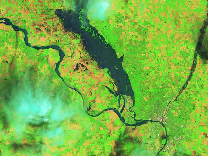
NASA's Iowa Flood Studies (IFloodS) experiment took rainfall measurements in conjunction with satellite overpasses to help assess the accuracy of satellite rainfall retrieval when used for flood forecasting.
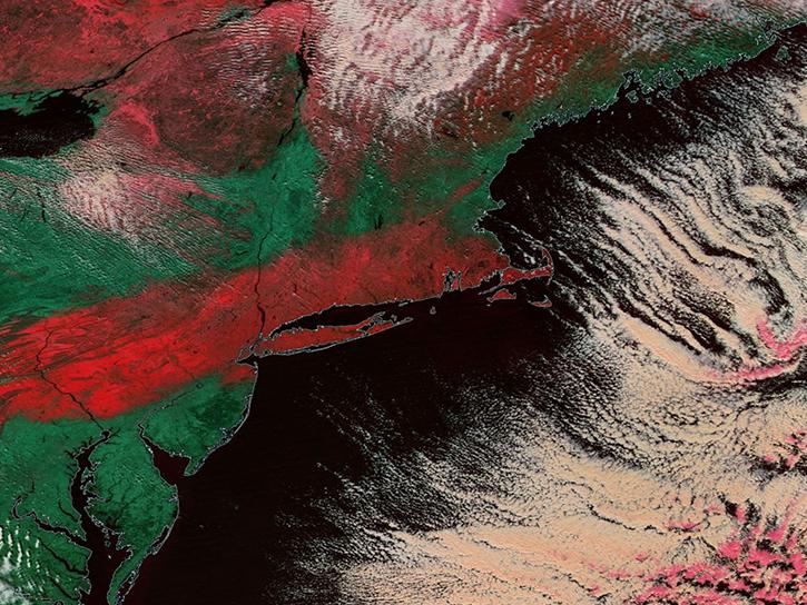
NASA's Investigation of Microphysics and Precipitation for Atlantic Coast-Threatening Snowstorms (IMPACTS) campaign primarily focused on the formation and evolution of snow bands in the eastern United States.
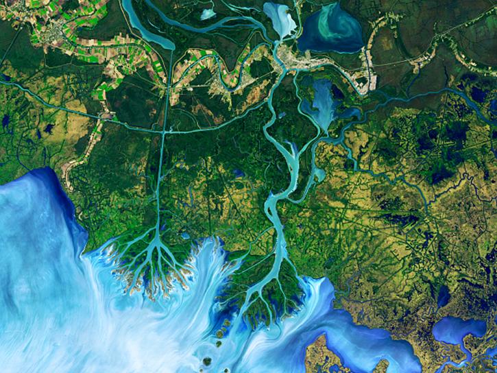
The Inland Waters dataset provides data for lakes and other water bodies across the contiguous United States and Alaska.

INTEXA was an integrated field campaign which quantified and characterized the transport of gases and aerosols on transcontinental and intercontinental scales.
SHOWING 8 OF 204