Delivery of Suomi National Polar-orbiting Partnership (Suomi NPP) satellite data products will cease on November 1, 2026. Data users should transition now to alternative products from NOAA-21 and NOAA-20.
Suomi NPP data announcement
Featured Projects
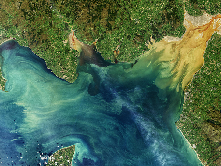
NASA's Applied Remote Sensing Training (ARSET) program teaches people to use Earth-observing data in their environmental management and decision-making.

At night, satellite images of Earth capture a uniquely human signal—artificial lighting. Remotely-sensed lights at night improve our understanding of interactions between human systems and the environment.
Explore All Projects
Filters
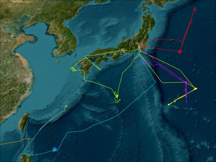
PEM-West aimed to investigate the atmospheric chemistry of ozone and its precursors over the northwestern Pacific and the atmospheric sulfur cycle over the region.
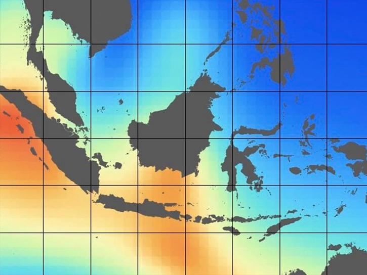
PISTON aimed to gain understanding and enhance the prediction capability of multi-scale tropical convection and air-sea interaction in the western Pacific north of Palau.
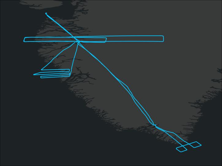
Polar Winds I was based in Kangerlussuaq, Greenland, and flew DAWN aboard the NASA King Air UC-12B during October and November of 2014.
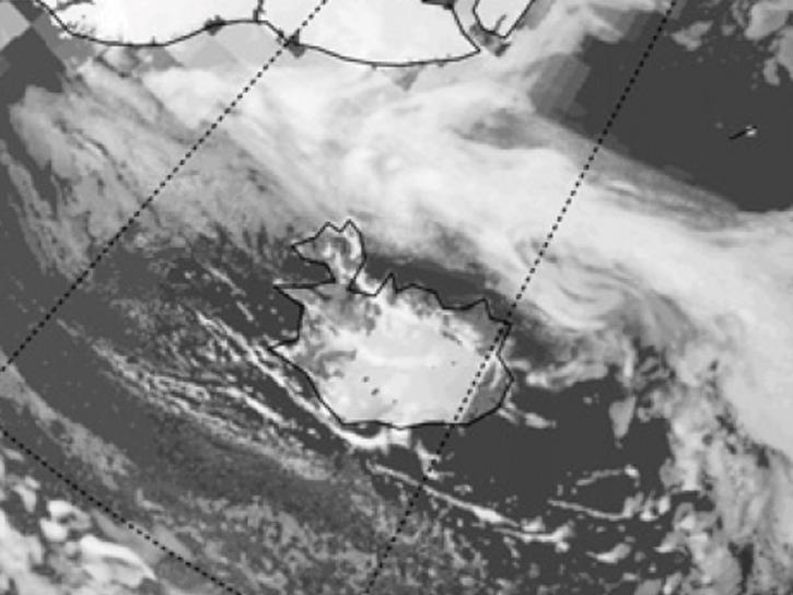
Polar Winds II was based in Keflavik, Iceland, and utilized the NASA DC-8 aircraft to fly DAWN and Dropsondes over the Arctic in May 2015.
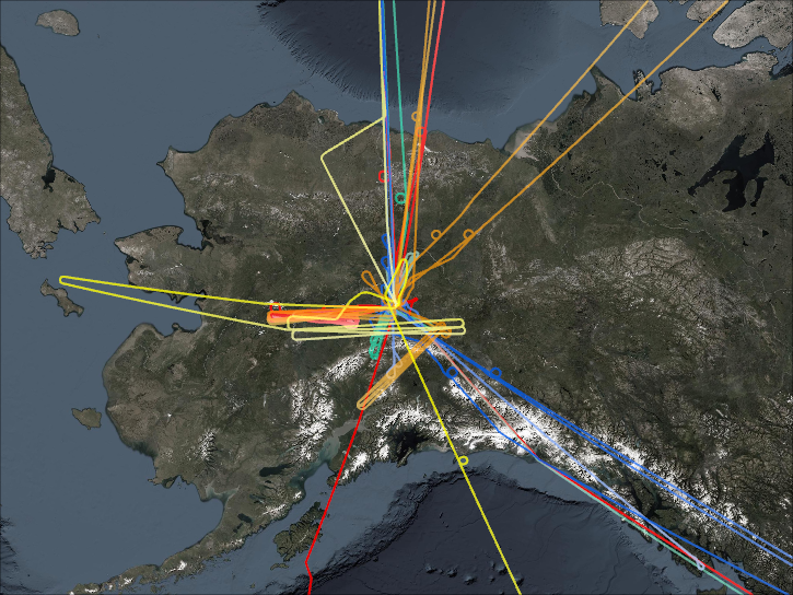
The POLARIS project was a joint effort of NASA and NOAA that occurred in 1997 and was designed to expand on the photochemical and transport processes that cause the summer polar decreases in the stratospheric ozone.
The POWER project improves the accessibility and use of NASA's Earth observation data supporting community research in three focus areas: renewable energy development, energy efficiency in buildings, and agroclimatology applications.
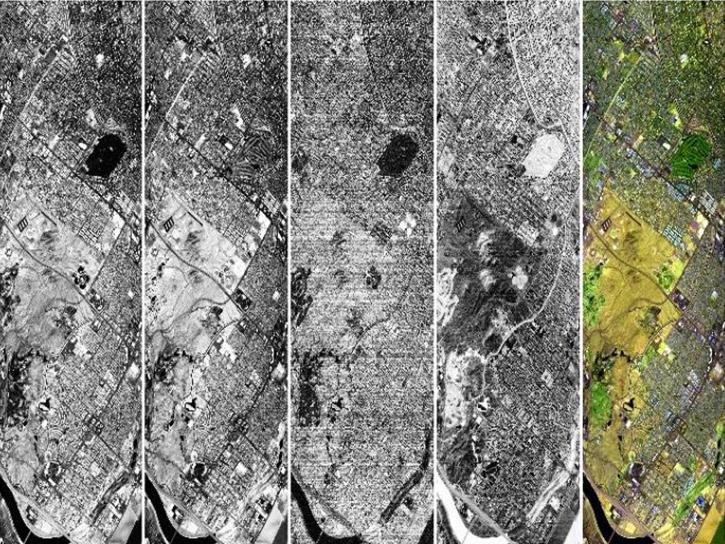
PROVE was a field campaign that helped validate observations from the ASTER, MISR, and MODIS instruments onboard the Terra satellite.
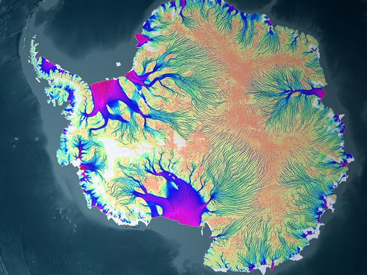
NASA's RADARSAT-1 Antarctic Mapping Project (RAMP) conducted synthetic aperture radar (SAR) mapping of Antarctica and measured change over time.
SHOWING 8 OF 206