Delivery of Suomi National Polar-orbiting Partnership (Suomi NPP) satellite data products will cease on November 1, 2026. Data users should transition now to alternative products from NOAA-21 and NOAA-20.
Suomi NPP data announcement
Featured Projects
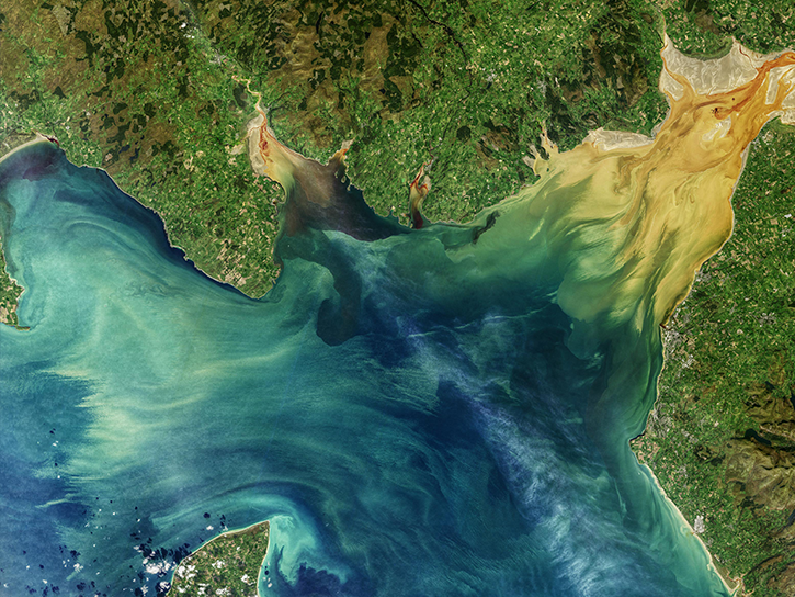
NASA's Applied Remote Sensing Training (ARSET) program teaches people to use Earth-observing data in their environmental management and decision-making.

At night, satellite images of Earth capture a uniquely human signal—artificial lighting. Remotely-sensed lights at night improve our understanding of interactions between human systems and the environment.
Explore All Projects
Filters
RICO studied cloud dynamics in the Caribbean and validated MISR observations.
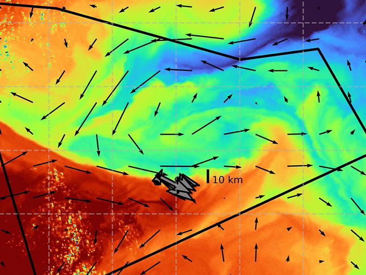
S-MODE tests the hypothesis that submesoscale ocean dynamics make important contributions to vertical exchange of physical, chemical, and biological variables in the upper ocean.
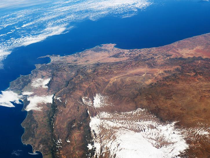
SAFARI 2000 was an international project that strove to make connections between land and atmosphere interactions and processes.
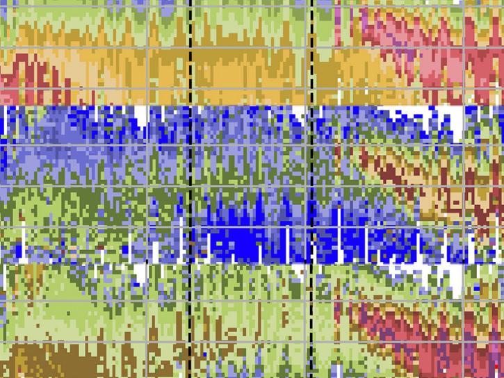
The SAGE III instrument aboard the ISS uses occultation, which involves looking at light from the Sun or Moon as it passes through Earth's atmosphere to provide long-term monitoring of ozone vertical profiles of the stratosphere and mesosphere.
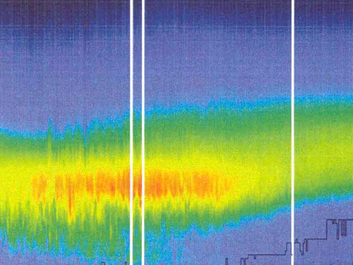
The SAGE III instrument aboard the Russian Meteor-3М spacecraft provided accurate measurements of the vertical structure of aerosols, ozone, water vapor, and other important trace gasses in the upper troposphere and stratosphere.
SAMUM observations were used to validate data on aerosol amount and type from MISR, and to place the sub-orbital measurements into a regional context.
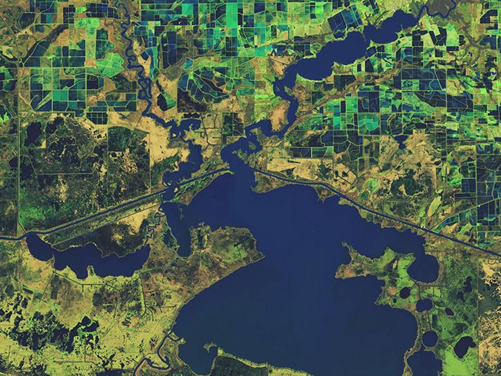
The Sediment Analysis Network for Decision Support (SANDS) project used MODIS, Landsat, and SeaWiFS data to help resolve issues related to sediment disturbance along the U.S. Gulf Coast.
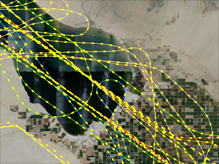
NASA’s Student Airborne Research Program is a summer internship for undergraduates to acquire hands-on research experience in a scientific field campaign.
SHOWING 8 OF 206