Delivery of Suomi National Polar-orbiting Partnership (Suomi NPP) satellite data products will cease on November 1, 2026. Data users should transition now to alternative products from NOAA-21 and NOAA-20.
Suomi NPP data announcement
Featured Projects
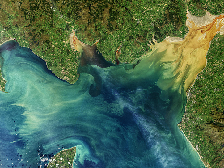
NASA's Applied Remote Sensing Training (ARSET) program teaches people to use Earth-observing data in their environmental management and decision-making.

At night, satellite images of Earth capture a uniquely human signal—artificial lighting. Remotely-sensed lights at night improve our understanding of interactions between human systems and the environment.
Explore All Projects
Filters
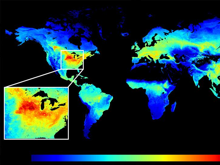
The SIF-ESDR project quantified global vegetation solar induced fluorescence (SIF) and photosynthesis gross primary productivity (GPP) from 1996-2020.
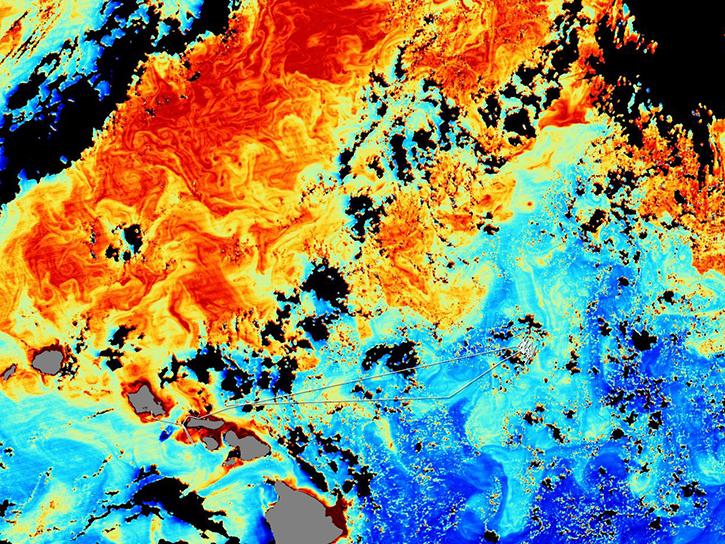
The SIMBIOS Project was scoped to support four primary activities: data product validation, sensor calibration, data merger algorithm evaluation, and satellite data processing.
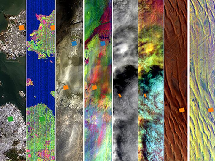
SISTER utilizes existing airborne and spaceborne sources to generate prototype data products spanning terrestrial ecosystems, inland and coastal aquatic ecosystems, hydrology, and geology.
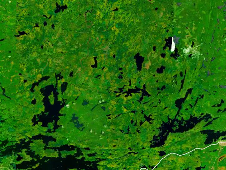
Working in parts of Superior National Forest, the SNF project investigated the use of remote sensing to estimate biophysical properties of ecosystems.
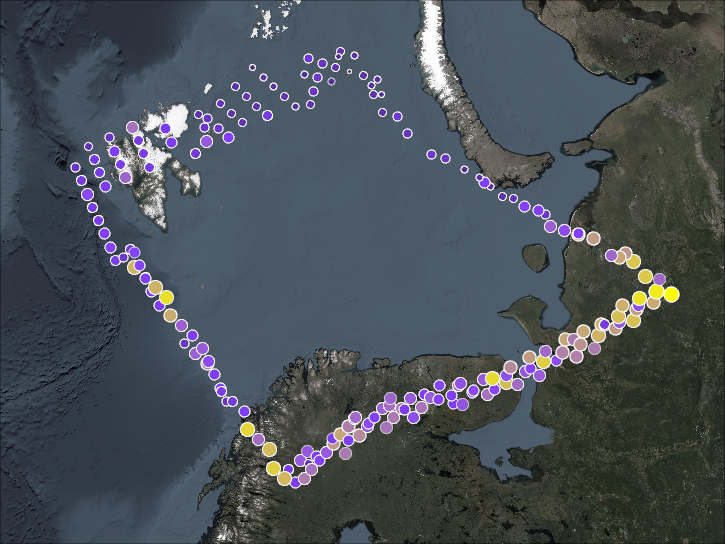
SOLVE’s primary objective was for calibrating and validating the SAGE III satellite measurements, while examining the processes that controlled ozone levels at a mid- to high-latitude range.
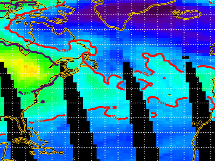
SONEX was an international, multi-organizational mission that took place in October-November 1997.
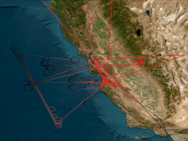
SPADE’s primary goal was to quantify key chemical reaction rates affecting ozone production and loss.
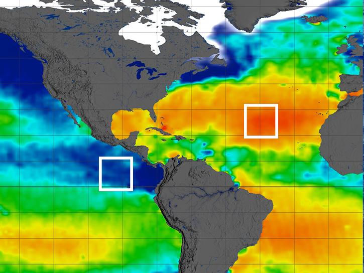
The SPURS project was a series of science process studies and associated oceanographic field campaigns that aimed to elucidate key mechanisms responsible for near-surface salinity variations in the oceans.
SHOWING 8 OF 206