We are in the process of migrating all NASA Earth science data sites into Earthdata from now until end of 2026. Not all NASA Earth science data and resources will appear here until then. Thank you for your patience as we make this transition.
Read about the Web Unification Project
Filters

The new data products from the MOPITT instrument will offer enhanced data quality for vertical column densities of carbon monoxide in the troposphere.
Feature Article
Aug. 12, 2025

Join us on Aug. 21, 2025, at 2:00 p.m. EDT (-04:00 UTC) to learn how to use Python and Xarray to access virtualized, exploratIon- and analysis-ready physical oceanography datasets from NASA's PO.DAAC.
Webinar
Aug. 12, 2025

Apply for a ROSES-2025 grant to conduct real-world research that advances NASA’s science goals.
News
Aug. 11, 2025

Learn more about the NASA Commercial Satellite Data Acquisition (CSDA) program vendor Umbra and how to discover, access, and work with their high-resolution commercial synthetic aperture radar (SAR) data products.
Webinar
Aug. 11, 2025

This image was captured on August 7, 2025, by the VIIRS instrument aboard the joint NASA/NOAA NOAA-21 platform.
Worldview Image of the Week
Aug. 8, 2025
Join NASA's Prediction Of Worldwide Energy Resources (POWER) team for a virtual Global Community Summit Sept. 9-10, 2025, to learn about POWER, exchange insights, and to explore new opportunities to support user communities.
Event
Aug. 6, 2025

When you think of an impactful Earth science dataset, what comes to mind? The American Geophysical Union (AGU) is looking for your input.
News
Aug. 6, 2025
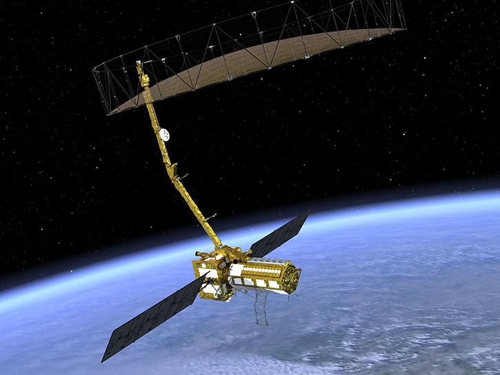
The NISAR mission kicks off a new era in Earth observation, with two powerful radars tracking planetary change in unprecedented detail.
News
Aug. 4, 2025
SHOWING 8 OF 2386