We are in the process of migrating all NASA Earth science data sites into Earthdata from now until end of 2026. Not all NASA Earth science data and resources will appear here until then. Thank you for your patience as we make this transition.
Read about the Web Unification Project
Filters

These services allow users to access, visualize, and analyze SWOT river data through GIS software without the need to download.
News
July 23, 2025

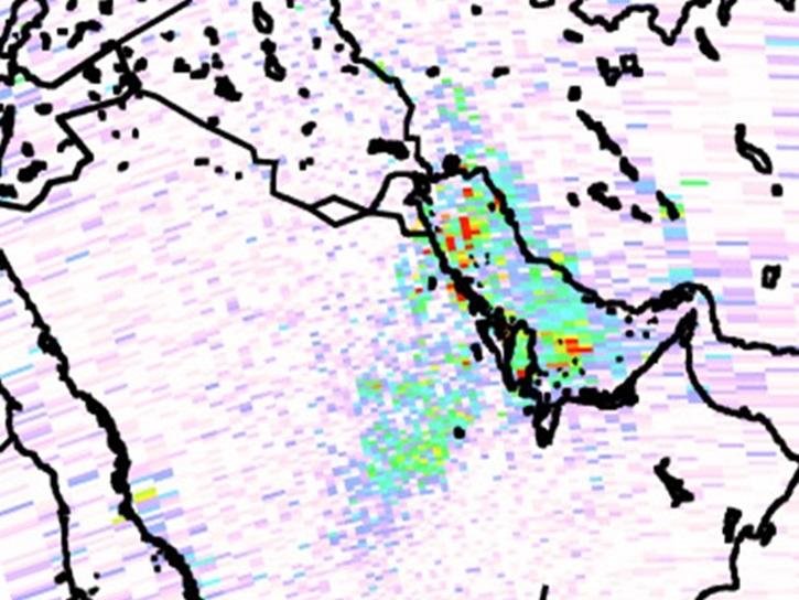
Image captured on July 13, 2025, from the MSI instrument aboard ESA's Sentinel-2B satellite.
Worldview Image of the Week
July 18, 2025

Join us on Wed., July 30 at 2:00 p.m. EDT (-04:00 UTC) to explore SWOT hydrology data collections of rivers and lakes, and to learn how to work with SWOT hydrology data using tools provided by both NASA's PO.DAAC and the USGS.
Webinar
July 18, 2025
A summary of datasets, products, and resources released by NASA’s Distributed Active Archive Centers (DAACs) in June 2025.
News
July 18, 2025

The MODIS Near Real-Time (NRT) Global Flood Product helps communities assess the aftermath of flooding in Australia.
Data in Action
July 17, 2025
Data products derived from the NRT MODIS Surface Reflectance datasets provide daily global maps of flooding.
News
July 17, 2025
In this Ecological Society of America (ESA) Annual Meeting short course, learn how to access and work with National Ecological Observatory Network (NEON) and NASA airborne and field datasets.
Event
July 16, 2025

Join NASA’s LAADS DAAC to learn how new tools available through Harmony services help users work with Level-1 and atmospheric datasets more efficiently.
Webinar
July 16, 2025
SHOWING 8 OF 2386