| ISLSCP II Carbon Dioxide Emissions from Fossil Fuels, Cement, and Gas Flaring |
1 |
NOT APPLICABLE |
NOT APPLICABLE |
1950-01-01 to 1995-12-31 |
N: 90
S: -90
E: 180
W: -180
|
|
Shapefile |
| ISLSCP II Carbon Dioxide Flux at Harvard Forest and Northern BOREAS Sites |
1 |
FIELD INVESTIGATION, LABORATORY, COMPUTERS |
IR CO2 ANALYZER, GC-FID, LICOR GAS EXCHANGE SYSTEM, Computer |
1992-01-01 to 1995-12-31 |
N: 90
S: -90
E: 180
W: -180
|
|
Shapefile |
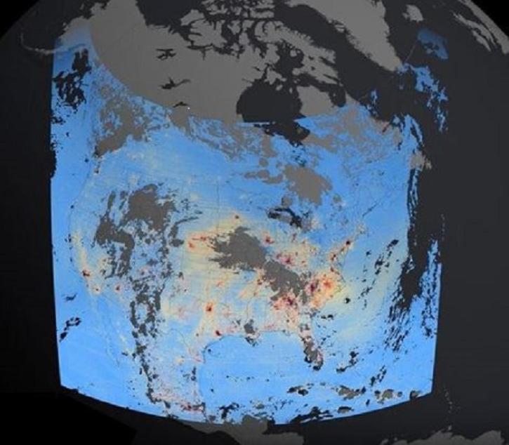
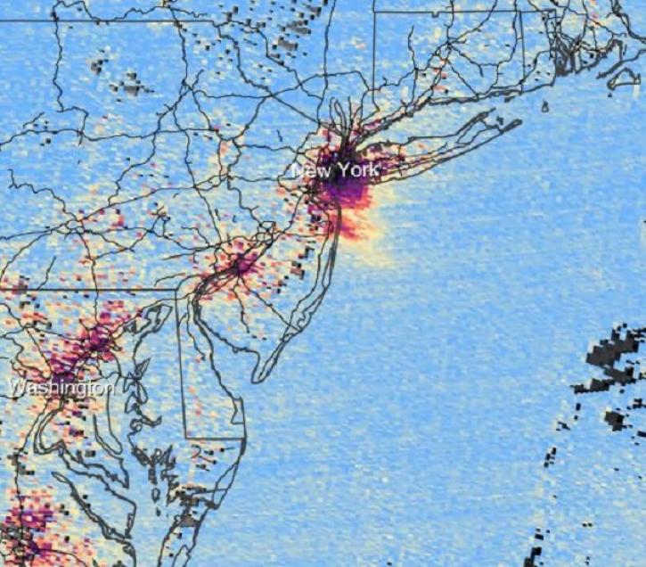
| ISLSCP II EDGAR 3 Gridded Greenhouse and Ozone Precursor Gas Emissions |
1 |
NOT APPLICABLE |
NOT APPLICABLE |
1970-01-01 to 1995-12-31 |
N: 90
S: -90
E: 180
W: -180
|
|
Shapefile |
| ISLSCP II Global River Fluxes of Carbon and Sediments to the Oceans |
1 |
NOT APPLICABLE |
NOT APPLICABLE |
1947-01-01 to 1998-12-31 |
N: 90
S: -90
E: 180
W: -180
|
|
Shapefile |
| KORUS-AQ Aircraft Merge Data Files |
1 |
NASA DC-8 |
Computer |
2016-04-24 to 2016-06-21 |
|
|
ICARTT |
| KORUS-AQ Ancillary Analysis Data |
1 |
MODELS |
AMS |
2016-04-30 to 2016-10-18 |
|
|
ICARTT |
| KORUS-AQ Ancillary Model Data Products |
1 |
GEOS-Chem, FLEXPART, CAM-chem, WRF |
|
2016-04-30 to 2016-06-11 |
|
|
NetCDF-4, ICARTT |
| KORUS-AQ DC-8 Aircraft In Situ Trace Gas Data |
1 |
NASA DC-8 |
LI-6252, GC-MS, TD-LIF, DACOM, CAMS, 4STAR, CIMS, CIT-ToF-CIMS, ACES, CHEMILUMINESCENCE, PTR-MS |
2016-04-16 to 2016-06-21 |
|
|
ICARTT |
| KORUS-AQ DC-8 Aircraft Remotely Sensed Differential Absorption Lidar (DIAL) Data |
1 |
NASA DC-8 |
DIAL |
2016-04-18 to 2016-06-20 |
|
|
HDF5, ICARTT |
| KORUS-AQ Environmental Protection Agency (EPA) Ground Site Data |
1 |
GROUND STATIONS |
CEILOMETERS, CAPS, 2B Technologies, Aeroqual Portable Air Quality Monitor |
2016-04-27 to 2016-06-13 |
|
|
HDF5, ICARTT |
| KORUS-AQ Miscellaneous Data |
1 |
UMD Cessna |
GPS, LGR CRDS, TECO 43C, Picarro G2401, AETHALOMETER, PSAP |
2016-04-30 to 2016-06-13 |
|
|
ICARTT |
| KORUS-AQ NASA Ground Site Data |
1 |
GROUND STATIONS |
Aerodyne Mini-TILDAS, DIAL |
2016-04-24 to 2016-06-13 |
|
|
HDF5, ICARTT |
| KORUS-AQ Ozonesonde Data |
1 |
GROUND STATIONS |
OZONESONDES |
2016-04-28 to 2016-06-12 |
|
|
ICARTT |
| KORUS-AQ Pandora Column Observations |
1 |
R/V ONNURI, GROUND STATIONS |
Pandora |
2015-04-30 to 2016-10-18 |
|
|
ICARTT |
| KORUS-AQ Research Vessel (R/V) JangMok Ship Data |
1 |
R/V JangMok |
Thermo Scientific Ozone Analyzer, Thermo Scientific NOx Analyzer, Thermo Scientific CO Analyzer, Thermo Scientific SO2 43i Analyzer, WIND MONITOR, GPS |
2016-05-20 to 2016-06-06 |
|
|
ICARTT |
| LBA-ECO CD-10 CO Concentrations at km 67 Tower Site, Tapajos National Forest |
1 |
FIXED OBSERVATION STATIONS |
IRGA |
2001-04-18 to 2003-08-29 |
N: -2.857
S: -2.857
E: -54.959
W: -54.959
|
|
CSV |
| LBA-ECO TG-05 NPP, Carbon Pool, Soil Characteristics, Soil Gas Flux Maps of Brazil |
1 |
NOT APPLICABLE |
NOT APPLICABLE |
1982-01-01 to 2001-12-31 |
N: 6.02
S: -34
E: -34.035
W: -80
|
|
GeoTIFF |
| LBA-ECO TG-10 Fire Emission Factors in Mato Grosso, Para, and Amazonas, Brazil: 2004 |
1 |
Airplane |
FTIR SPECTROMETER, PTR-MS |
2004-08-29 to 2004-09-08 |
N: -3.007
S: -11.491
E: -51.798
W: -54.185
|
|
multiple |
| LISTOS Bayonne Ground Site Data |
1 |
GROUND STATIONS |
GAS SENSORS |
2018-06-01 to 2019-05-23 |
|
|
ICARTT |
| LISTOS Bronx Pfizer Ground Site Data |
1 |
GROUND STATIONS |
HPLC, GAS SENSORS |
2018-01-01 to 2018-11-13 |
|
|
ICARTT |
| LISTOS CCNY Ground Site Data |
1 |
GROUND STATIONS |
GAS SENSORS |
2018-04-30 to 2018-05-02 |
|
|
ICARTT |
| LISTOS Flax Pond Ground Site Data |
1 |
GROUND STATIONS |
HPLC, OZONESONDES, RADIOSONDES, AMS, GAS SENSORS, PTR-MS |
2018-04-30 to 2019-09-13 |
|
|
ICARTT |
| LISTOS Ground Data at Miscellaneous Ground Sites |
1 |
GROUND STATIONS |
GAS SENSORS |
2018-04-30 to 2018-10-01 |
|
|
ICARTT |
| LISTOS Hammonasset Ground Site Data |
1 |
GROUND STATIONS |
GAS SENSORS |
2018-05-01 to 2019-09-12 |
|
|
ICARTT |
| LISTOS New Haven Ground Site Data |
1 |
GROUND STATIONS |
GAS SENSORS |
2018-05-01 to 2019-01-23 |
|
|
ICARTT |