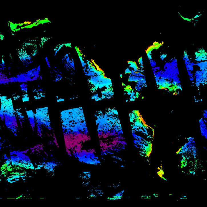
| PACE SPEXone Level-2 Regional Ocean Properties, RemoTAP Algorithm Data, version 4.0 |
4.0 |
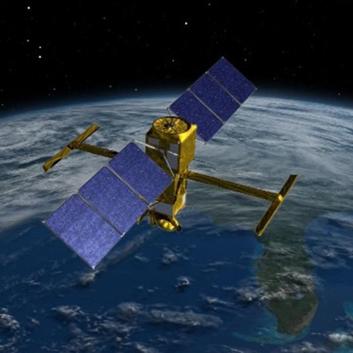
PACE |
SPEXone |
2024-02-05 to Present |
N: 90
S: -90
E: 180
W: -180
|
|
netCDF-4 |
| PACE SPEXone Level-3 Global Mapped Aerosol Over Land Optical Properties, FastMAPOL Algorithm - Near Real-time (NRT) Data, version 4.0 |
4.0 |
PACE |
SPEXone |
2024-02-05 to Present |
N: 90
S: -90
E: 180
W: -180
|
|
netCDF-4 |
| PACE SPEXone Level-3 Global Mapped Aerosol Over Land Optical Properties, FastMAPOL Algorithm Data, version 4.0 |
4.0 |
PACE |
SPEXone |
2024-02-05 to Present |
N: 90
S: -90
E: 180
W: -180
|
|
netCDF-4 |
| PACE SPEXone Level-3 Global Mapped Aerosol Over Ocean Optical Properties, FastMAPOL Algorithm - Near Real-time (NRT) Data, version 3.0 |
3.0 |
PACE |
SPEXone |
2024-02-05 to Present |
N: 90
S: -90
E: 180
W: -180
|
|
netCDF-4 |
| PACE SPEXone Level-3 Global Mapped Aerosol Over Ocean Optical Properties, FastMAPOL Algorithm - Near Real-time (NRT) Data, version 4.0 |
4.0 |
PACE |
SPEXone |
2024-02-05 to Present |
N: 90
S: -90
E: 180
W: -180
|
|
netCDF-4 |
| PACE SPEXone Level-3 Global Mapped Aerosol Over Ocean Optical Properties, FastMAPOL Algorithm Data, version 3.0 |
3.0 |
PACE |
SPEXone |
2024-02-05 to Present |
N: 90
S: -90
E: 180
W: -180
|
|
netCDF-4 |
| PACE SPEXone Level-3 Global Mapped Aerosol Over Ocean Optical Properties, FastMAPOL Algorithm Data, version 4.0 |
4.0 |
PACE |
SPEXone |
2024-02-05 to Present |
N: 90
S: -90
E: 180
W: -180
|
|
netCDF-4 |
| PACE SPEXone Level-3 Global Mapped Ocean Properties, RemoTAP Algorithm - Near Real-time (NRT) Data, version 3.0 |
3.0 |
PACE |
SPEXone |
2024-02-05 to Present |
N: 90
S: -90
E: 180
W: -180
|
|
netCDF-4 |
| PACE SPEXone Level-3 Global Mapped Ocean Properties, RemoTAP Algorithm - Near Real-time (NRT) Data, version 4.0 |
4.0 |
PACE |
SPEXone |
2024-02-05 to Present |
N: 90
S: -90
E: 180
W: -180
|
|
netCDF-4 |
| PACE SPEXone Level-3 Global Mapped Ocean Properties, RemoTAP Algorithm Data, version 3.0 |
3.0 |
PACE |
SPEXone |
2024-02-05 to Present |
N: 90
S: -90
E: 180
W: -180
|
|
netCDF-4 |
| PACE SPEXone Level-3 Global Mapped Ocean Properties, RemoTAP Algorithm Data, version 4.0 |
4.0 |
PACE |
SPEXone |
2024-02-05 to Present |
N: 90
S: -90
E: 180
W: -180
|
|
netCDF-4 |
| Saildrone 2021 Arctic field campaign for the Multi-Sensor Improved SST (MISST) project |
1 |
Saildrone |
CTD, ADCP, ANEMOMETERS, FLUOROMETERS, TEMPERATURE SENSORS, HUMIDITY SENSORS, PYROMETERS, PAR SENSORS, BAROMETERS |
2021-07-06 to 2021-10-21 |
N: 71
S: 65
E: -164.5
W: -168
|
|
netCDF-4 |
| Saildrone 2022 Arctic field campaign for the Multi-Sensor Improved SST (MISST) project |
1 |
Saildrone |
CTD, ADCP, ANEMOMETERS, FLUOROMETERS, TEMPERATURE SENSORS, HUMIDITY SENSORS, PYROMETERS, PAR SENSORS, BAROMETERS |
2022-06-18 to 2022-08-17 |
N: 71.6
S: 65.2
E: -157.2
W: -168.5
|
|
netCDF-4 |
| Saildrone Arctic field campaign surface and ADCP measurements for NOPP-MISST project |
1.0 |
Saildrone |
PYROMETERS, ADCP, CTD, ANEMOMETERS, FLUOROMETERS, BAROMETERS |
2019-05-14 to 2019-10-11 |
N: 75.5
S: 53.8
E: -146.1
W: -168.7
|
|
netCDF-4 |
| Saildrone Baja field campaign surface and ADCP measurements |
1.0 |
Saildrone |
PYROMETERS, ADCP, CTD, FLUOROMETERS, ANEMOMETERS, BAROMETERS |
2018-04-11 to 2018-06-11 |
N: 37.82
S: 28.01
E: -115.52
W: -125.55
|
|
netCDF-4 |
| SeaHawk-1 HawkEye Level-2 Regional Ocean Color (OC) Data, version 2022.0 |
2022.0 |
SeaHawk-1 |
HawkEye |
2019-03-21 to 2023-10-27 |
N: 90
S: -90
E: 180
W: -180
|
|
netCDF |
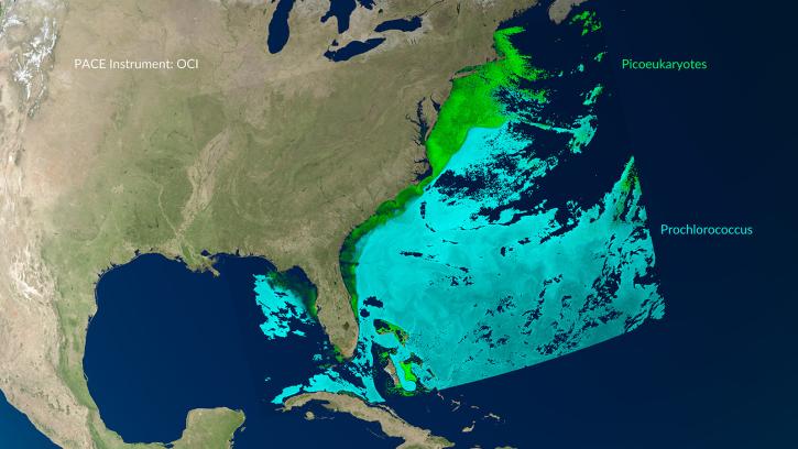
| SeaWiFS Global Mapped Eulerian and Lagrangian Oceanography and Ecology Variables Data, version 1 |
1 |
OrbView-2 |
SeaWiFS |
1997-09-04 to 2010-12-11 |
N: 90
S: -90
E: 180
W: -180
|
|
netCDF-4 |
| Seedling Canopy Chemistry, 1992-1993 (ACCP) |
1 |
FIELD INVESTIGATION, LABORATORY |
VISUAL OBSERVATIONS, CHN ANALYZERS, LICOR LEAF AREA METER, SPECTROPHOTOMETERS |
1992-11-06 to 1993-03-15 |
N: 37.4015
S: 37.4015
E: -122.048
W: -122.048
|
|
ASCII |
| Sentinel-3A OLCI Level-2 Regional Earth-observation Full Resolution (EFR) Ocean Color (OC) - Near Real-time Data, version 2022.0 |
2022.0 |
Sentinel-3A |
OLCI |
2016-04-05 to Present |
N: 90
S: -90
E: 180
W: -180
|
|
netCDF-4 |
| Sentinel-3A OLCI Level-2 Regional Earth-observation Full Resolution (EFR) Ocean Color (OC) Data, version 2022.0 |
2022.0 |
Sentinel-3A |
OLCI |
2016-04-05 to Present |
N: 90
S: -90
E: 180
W: -180
|
|
netCDF-4 |
| Sentinel-3A OLCI Level-2 Regional Earth-observation Reduced Resolution (ERR) Ocean Color (OC) - Near Real-time (NRT) Data, version 2022.0 |
2022.0 |
Sentinel-3A |
OLCI |
2016-04-05 to Present |
N: 90
S: -90
E: 180
W: -180
|
|
netCDF-4 |
| Sentinel-3A OLCI Level-2 Regional Earth-observation Reduced Resolution (ERR) Ocean Color (OC) Data, version 2022.0 |
2022.0 |
Sentinel-3A |
OLCI |
2016-04-05 to Present |
N: 90
S: -90
E: 180
W: -180
|
|
netCDF-4 |
| Sentinel-3A OLCI Level-3 Global Binned Earth-observation Reduced Resolution (ERR) Chlorophyll (CHL) - Near Real-time (NRT) Data, version 2022.0 |
2022.0 |
Sentinel-3A |
OLCI |
2016-04-05 to Present |
N: 90
S: -90
E: 180
W: -180
|
|
netCDF-4 |
| Sentinel-3A OLCI Level-3 Global Binned Earth-observation Reduced Resolution (ERR) Chlorophyll (CHL) Data, version 2022.0 |
2022.0 |
Sentinel-3A |
OLCI |
2016-04-05 to Present |
N: 90
S: -90
E: 180
W: -180
|
|
netCDF-4 |
| Sentinel-3A OLCI Level-3 Global Mapped Earth-observation Reduced Resolution (ERR) Chlorophyll (CHL) - Near Real-time (NRT) Data, version 2022.0 |
2022.0 |
Sentinel-3A |
OLCI |
2016-04-05 to Present |
N: 90
S: -90
E: 180
W: -180
|
|
netCDF-4 |