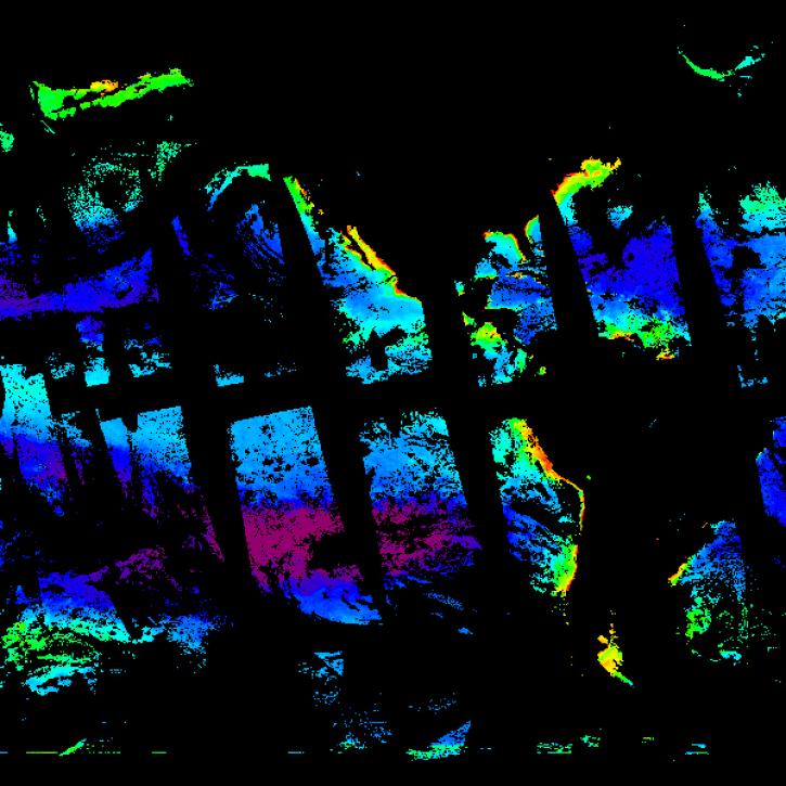
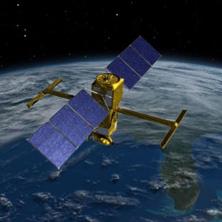
| Sentinel-3B OLCI Level-2 Regional Earth-observation Full Resolution (EFR) Ocean Color (OC) Data, version 2022.0 |
2022.0 |
Sentinel-3B |
OLCI |
2018-04-25 to Present |
N: 90
S: -90
E: 180
W: -180
|
|
netCDF-4 |
| Sentinel-3B OLCI Level-2 Regional Earth-observation Reduced Resolution (ERR) Ocean Color (OC) - Near Real-time (NRT) Data, version 2022.0 |
2022.0 |
Sentinel-3B |
OLCI |
2018-04-25 to Present |
N: 90
S: -90
E: 180
W: -180
|
|
netCDF-4 |
| Sentinel-3B OLCI Level-2 Regional Earth-observation Reduced Resolution (ERR) Ocean Color (OC) Data, version 2022.0 |
2022.0 |
Sentinel-3B |
OLCI |
2018-04-25 to Present |
N: 90
S: -90
E: 180
W: -180
|
|
netCDF-4 |
| Sentinel-3B OLCI Level-3 Global Binned Earth-observation Reduced Resolution (ERR) Chlorophyll (CHL) - Near Real-time (NRT) Data, version 2022.0 |
2022.0 |
Sentinel-3B |
OLCI |
2018-04-25 to Present |
N: 90
S: -90
E: 180
W: -180
|
|
netCDF-4 |
| Sentinel-3B OLCI Level-3 Global Binned Earth-observation Reduced Resolution (ERR) Chlorophyll (CHL) Data, version 2022.0 |
2022.0 |
Sentinel-3B |
OLCI |
2018-04-25 to Present |
N: 90
S: -90
E: 180
W: -180
|
|
netCDF-4 |
| Sentinel-3B OLCI Level-3 Global Mapped Earth-observation Reduced Resolution (ERR) Chlorophyll (CHL) - Near Real-time (NRT) Data, version 2022.0 |
2022.0 |
Sentinel-3B |
OLCI |
2018-04-25 to Present |
N: 90
S: -90
E: 180
W: -180
|
|
netCDF-4 |
| Sentinel-3B OLCI Level-3 Global Mapped Earth-observation Reduced Resolution (ERR) Chlorophyll (CHL) Data, version 2022.0 |
2022.0 |
Sentinel-3B |
OLCI |
2018-04-25 to Present |
N: 90
S: -90
E: 180
W: -180
|
|
netCDF-4 |
| SHIFT: AVIRIS-NG Derived Plant Functional Trait Mosaics |
1 |
B-200 |
AVIRIS-NG |
2022-02-24 to 2022-05-29 |
N: 34.9119
S: 34.3535
E: -119.866
W: -120.632
|
|
COG |
| SHIFT: Photosynthetic and Leaf Traits, Santa Barbara County, 2022 |
1 |
FIELD SURVEYS |
SURVEYING TOOLS |
2022-02-23 to 2022-09-27 |
N: 34.7445
S: 34.3979
E: -119.52
W: -120.5
|
|
multiple |
| SISTER: Experimental Workflows, Product Generation Environment, and Sample Data, V004 |
4 |
NOAA Twin Otter, NASA ER-2 |
AVIRIS |
2011-05-13 to 2018-01-26 |
N: 39.0817
S: 21.2023
E: -107.962
W: -158.055
|
|
multiple |
| S-MODE L2 Shipboard Bottle Data Version 1 |
1 |
Ships |
WATER BOTTLES, SALINOMETERS |
2021-10-22 to 2023-05-02 |
N: 38.1
S: 36.3
E: -122.9
W: -125.4
|
|
netCDF-4 |
| S-MODE L2 Shipboard Conductivity, Temperature, and Depth Measurements Version 1 |
1 |
Ships |
CTD |
2021-08-01 to 2023-05-05 |
N: 38.1
S: 36.3
E: -122.9
W: -125.4
|
|
netCDF-4 |
| S-MODE L2 Shipboard Thermosalinograph, Meteorology, and Bio-optics Measurements Version 1 |
1 |
Ships |
THERMOSALINOGRAPHS, FLUOROMETERS |
2021-08-01 to 2023-05-04 |
N: 38.1
S: 36.3
E: -122.9
W: -125.4
|
|
netCDF-4 |
| S-MODE L2 Temperature and Salinity from Saildrones Version 1 |
1 |
Saildrone |
ADCP |
2021-09-01 to 2022-10-31 |
N: 38.1
S: 36.3
E: -122.9
W: -125.4
|
|
netCDF-4 |
| S-MODE Level 3 Seaglider Observations Version 1 |
1 |
SEAGLIDER |
CTD |
2022-08-23 to 2023-07-07 |
N: 38.1
S: 36.3
E: -122.9
W: -125.4
|
|
netCDF-4 |
| S-MODE PRISM Level 2 Water Surface Chlorophyll-a Version 1 |
1 |
G-III |
PRISM |
2022-10-19 to 2023-05-10 |
N: 40
S: 35
E: -122
W: -130
|
|
netCDF-4 |
| S-MODE Saildrone Level 1 Observations |
1 |
Saildrone |
ADCP |
2021-10-01 to 2022-11-30 |
N: 38.1
S: 36.3
E: -122.9
W: -125.4
|
|
netCDF-4 |
| S-MODE Seaglider Observations Version 1 |
1 |
SEAGLIDER |
CTD |
2022-08-23 to 2023-07-07 |
N: 38.1
S: 36.3
E: -122.9
W: -125.4
|
|
netCDF-4 |
| S-MODE Shipboard Bio-optical Measurements Version 1 |
1 |
Ships |
TRANSMISSOMETERS, FLUOROMETERS |
2022-10-09 to 2022-11-02 |
N: 42
S: 30
E: -119
W: -125.4
|
|
netCDF-4 |
| Suomi-NPP VIIRS Level-2 Regional Ocean Color (OC) - Near Real-time (NRT) Data, version 2022.0 |
2022.0 |
Suomi-NPP |
VIIRS |
2012-01-02 to Present |
N: 90
S: -90
E: 180
W: -180
|
|
netCDF-4 |
| Suomi-NPP VIIRS Level-2 Regional Ocean Color (OC) Data, version 2022.0 |
2022.0 |
Suomi-NPP |
VIIRS |
2012-01-02 to Present |
N: 90
S: -90
E: 180
W: -180
|
|
netCDF-4 |
| Suomi-NPP VIIRS Level-3 Global Binned Chlorophyll (CHL) - Near Real-time (NRT) Data, version 2022.0 |
2022.0 |
Suomi-NPP |
VIIRS |
2012-01-02 to Present |
N: 90
S: -90
E: 180
W: -180
|
|
netCDF-4 |
| Suomi-NPP VIIRS Level-3 Global Binned Chlorophyll (CHL) Data, version 2022.0 |
2022.0 |
Suomi-NPP |
VIIRS |
2012-01-02 to Present |
N: 90
S: -90
E: 180
W: -180
|
|
netCDF-4 |
| Suomi-NPP VIIRS Level-3 Global Mapped Chlorophyll (CHL) - Near Real-time (NRT) Data, version 2022.0 |
2022.0 |
Suomi-NPP |
VIIRS |
2012-01-02 to Present |
N: 90
S: -90
E: 180
W: -180
|
|
netCDF-4 |
| Suomi-NPP VIIRS Level-3 Global Mapped Chlorophyll (CHL) Data, version 2022.0 |
2022.0 |
Suomi-NPP |
VIIRS |
2012-01-02 to Present |
N: 90
S: -90
E: 180
W: -180
|
|
netCDF-4 |