Delivery of Suomi National Polar-orbiting Partnership (Suomi NPP) satellite data products will cease on November 1, 2026. Data users should transition now to alternative products from NOAA-21 and NOAA-20.
Suomi NPP data announcement
Sea Surface Topography Data Access and Tools
Sea Surface Topography Datasets
| Dataset Sort descending | Version | Platform | Instrument | Temporal Extent | Spatial Extent | Spatial Resolution | Data Format |
|---|---|---|---|---|---|---|---|
| SWOT Level 2 Nadir Altimeter Interim Geophysical Data Record with Waveforms, Version 1.0 | 1.0 | SWOT | Jason-class Altimeter, AMR | 2022-12-16 |
N: 77.6 S: -77.6 E: 180 W: -180 |
300 Meters x 300 Meters 6000 Meters x 6000 Meters |
netCDF-4 |
| SWOT Level 2 Nadir Altimeter Interim Geophysical Data Record with Waveforms Version D | D | SWOT | Jason-class Altimeter, AMR | 2022-12-16 |
N: 77.6 S: -77.6 E: 180 W: -180 |
300 Meters x 300 Meters 6000 Meters x 6000 Meters |
netCDF-4 |
| SWOT Level 2 Nadir Altimeter Operational Geophysical Data Record with Waveforms | 2.0 | SWOT | Jason-class Altimeter, AMR | 2022-12-16 |
N: 77.6 S: -77.6 E: 180 W: -180 |
300 Meters x 300 Meters 6000 Meters x 6000 Meters |
netCDF-4 |
| SWOT Level 2 Nadir Altimeter Operational Geophysical Data Record with Waveforms - GDR | 2.0 | SWOT | Jason-class Altimeter, AMR | 2022-12-16 |
N: 77.6 S: -77.6 E: 180 W: -180 |
netCDF-4 | |
| SWOT Level 2 Nadir Altimeter Operational Geophysical Data Record with Waveforms - GDR, Version 1.0 | 1.0 | SWOT | Jason-class Altimeter, AMR | 2022-12-16 |
N: 77.6 S: -77.6 E: 180 W: -180 |
netCDF-4 | |
| SWOT Level 2 Nadir Altimeter Operational Geophysical Data Record with Waveforms - GDR Version D | D | SWOT | Jason-class Altimeter, AMR | 2022-12-16 |
N: 77.6 S: -77.6 E: 180 W: -180 |
netCDF-4 | |
| SWOT Level 2 Nadir Altimeter Operational Geophysical Data Record with Waveforms - SSHA | 2.0 | SWOT | Jason-class Altimeter, AMR | 2022-12-16 |
N: 77.6 S: -77.6 E: 180 W: -180 |
netCDF-4 | |
| SWOT Level 2 Nadir Altimeter Operational Geophysical Data Record with Waveforms - SSHA, Version 1.0 | 1.0 | SWOT | Jason-class Altimeter, AMR | 2022-12-16 |
N: 77.6 S: -77.6 E: 180 W: -180 |
netCDF-4 | |
| SWOT Level 2 Nadir Altimeter Operational Geophysical Data Record with Waveforms - SSHA Version D | D | SWOT | Jason-class Altimeter, AMR | 2022-12-16 |
N: 77.6 S: -77.6 E: 180 W: -180 |
netCDF-4 | |
| SWOT Level 2 Nadir Altimeter Operational Geophysical Data Record with Waveforms, Version 1.0 | 1.0 | SWOT | Jason-class Altimeter, AMR | 2022-12-16 |
N: 77.6 S: -77.6 E: 180 W: -180 |
300 Meters x 300 Meters 6000 Meters x 6000 Meters |
netCDF-4 |
| SWOT Level 2 Nadir Altimeter Operational Geophysical Data Record with Waveforms Version D | D | SWOT | Jason-class Altimeter, AMR | 2022-12-16 |
N: 77.6 S: -77.6 E: 180 W: -180 |
300 Meters x 300 Meters 6000 Meters x 6000 Meters |
netCDF-4 |
| SWOT Level 2 Radiometer Brightness Temperatures and Troposphere Data Product | 2.0 | SWOT | AMR | 2022-12-16 |
N: 77.6 S: -77.6 E: 180 W: -180 |
netCDF-4 | |
| SWOT Level 2 Radiometer Brightness Temperatures and Troposphere Data Product Version D | D | SWOT | AMR | 2022-12-16 |
N: 77.6 S: -77.6 E: 180 W: -180 |
netCDF-4 | |
| SWOT Simulated Level-2 KaRIn SSH from GLORYS for Cal/Val Version 1 | 1 | COMPUTERS | Computer | 2014-04-12 to 2015-12-31 |
N: 77.6 S: -77.6 E: 180 W: -180 |
2000 Meters x 2000 Meters | netCDF-4 |
| SWOT Simulated Level-2 KaRIn SSH from GLORYS for Science Version 1 | 1 | COMPUTERS | Computer | 2014-04-12 to 2015-12-31 |
N: 77.6 S: -77.6 E: 180 W: -180 |
2000 Meters x 2000 Meters | netCDF-4 |
| SWOT Simulated Level-2 KaRIn SSH from MITgcm ECCO LLC4320 for Cal/Val Version 1 | 1 | MITgcm | Computer | 2011-11-13 to 2012-11-12 |
N: 77.6 S: -77.6 E: 180 W: -180 |
2000 Meters x 2000 Meters | netCDF-4 |
| SWOT Simulated Level-2 KaRIn SSH from MITgcm ECCO LLC4320 for Science Version 1 | 1 | MITgcm | Computer | 2011-11-13 to 2012-11-12 |
N: 77.6 S: -77.6 E: 180 W: -180 |
2000 Meters x 2000 Meters | netCDF-4 |
| SWOT Simulated Level-2 Nadir SSH from GLORYS for Cal/Val Version 1 | 1 | COMPUTERS | Computer | 2014-04-12 to 2015-12-31 |
N: 77.6 S: -77.6 E: 180 W: -180 |
2 Kilometers x 2 Kilometers | netCDF-4 |
| SWOT Simulated Level-2 Nadir SSH from GLORYS for Science Version 1 | 1 | COMPUTERS | Computer | 2014-04-12 to 2015-12-31 |
N: 77.6 S: -77.6 E: 180 W: -180 |
2 Kilometers x 2 Kilometers | netCDF-4 |
| SWOT Simulated Level-2 Nadir SSH from MITgcm ECCO LLC4320 for Cal/Val Version 1 | 1 | MITgcm | Computer | 2011-11-13 to 2012-11-12 |
N: 77.6 S: -77.6 E: 180 W: -180 |
2 Kilometers x 2 Kilometers | netCDF-4 |
| SWOT Simulated Level-2 Nadir SSH from MITgcm ECCO LLC4320 for Science Version 1 | 1 | MITgcm | Computer | 2011-11-13 to 2012-11-12 |
N: 77.6 S: -77.6 E: 180 W: -180 |
2 Kilometers x 2 Kilometers | netCDF-4 |
| Tellus Level-4 Ocean Mass Anomaly Time Series from JPL GRACE/GRACE-FO Mascon CRI Filtered Release 06.3 version 04 | RL06.3Mv04 | GRACE-FO, GRACE | GRACE-FO MWI, GRACE INTERFEROMETER | 2002-04-01 |
N: 90 S: -90 E: 180 W: -180 |
0.5 Decimal Degrees x 0.5 Decimal Degrees | ASCII |
| TOPEX ALTIMETER SENSOR DATA RECORD | A | TOPEX/POSEIDON | TMR, ALT (TOPEX) | 1992-09-25 to 2005-10-04 |
N: 66 S: -66 E: 180 W: -180 |
RAW | |
| TOPEX/POSEIDON Geophysical Data Record Version F | F | TOPEX/POSEIDON | ALT (TOPEX), TMR | 1992-10-13 to 2005-10-04 |
N: 66 S: -66 E: 180 W: -180 |
netCDF-4 | |
| TOVS GLA 5 DAY GRIDS from NOAA-11 V01 (TOVSA5NH) | 01 | NOAA-11 | HIRS/2, MSU, TOVS | 1988-10-12 to 1994-06-30 |
N: 90 S: -90 E: 180 W: -180 |
Featured Sea Surface Topography Observation Method: SWOT
NASA's Surface Water and Ocean Topography (SWOT) platform monitors Earth’s surface water and measures how water bodies, such seas and oceans, change over time. SWOTS measures water surface heights using its primary instrument, the Ka-band Radar Interferometer (KaRIn).
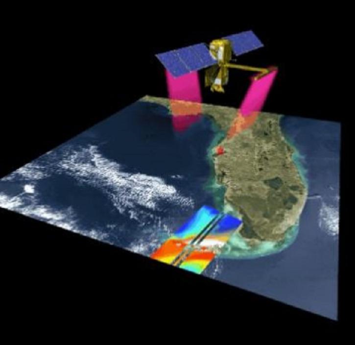
Recently released datasets from the SWOT mission provide scientists with previously unavailable measurements of Earth's surface water.
9 MIN READ
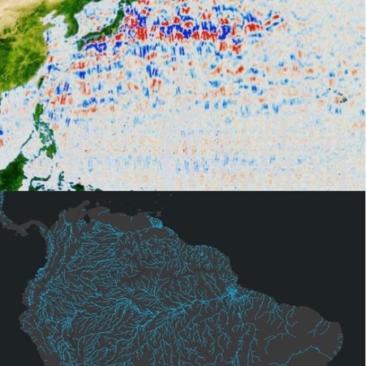
Learn how to discover, access, and use Surface Water and Ocean Topography (SWOT) mission data and how these data can lead to new, innovative science and applications in the world of water.
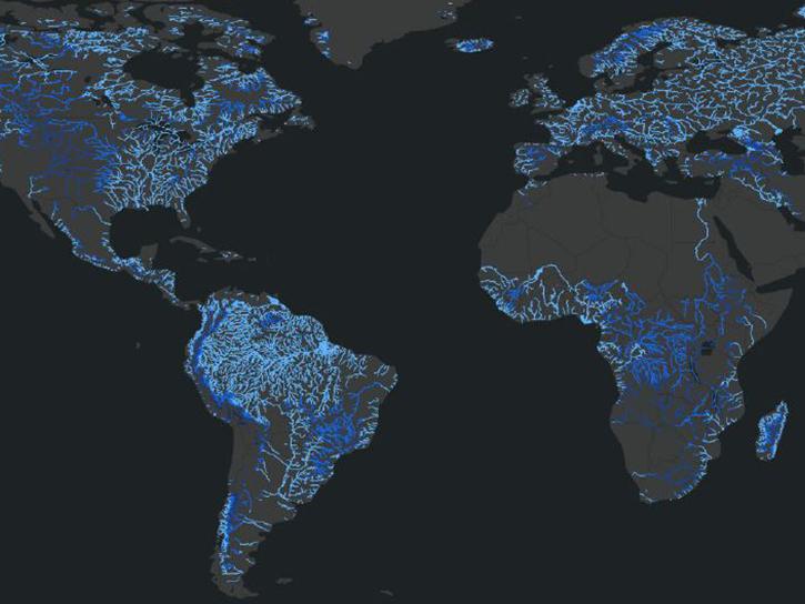
Join us on Wed., July 30 at 2:00 p.m. EDT (-04:00 UTC) to explore SWOT hydrology data collections of rivers and lakes, and to learn how to work with SWOT hydrology data using tools provided by both NASA's PO.DAAC and the USGS.

Hydrocron enables users to receive all Surface Water and Ocean Topography (SWOT) observations for a specific river ID within a specified date range.
Sea Surface Topography Data Tools
| Tool Sort descending | Description | Services | |
|---|---|---|---|
| Hydrocron | Hydrocron is an API that repackages hydrology datasets from SWOT into formats that make time-series analysis easier. | Subsetting, Visualization | |
| SWOT Swath Visualizer | The Surface Water and Ocean Topography (SWOT) Swath Visualizer provides a visualization of two instruments’ coverage of Earth's surface: the Ka-band Radar Interferometer and altimeter. | Analysis, Data Curation, Visualization |
SHOWING 2 OF 2
Get Help
QUESTIONS & SUPPORT
Have a question?
Get help with NASA Earth science data, datasets, tools, services, and metadata on the Earthdata Forum. Experienced staff in the data user community review and answer questions.
Get help on Earthdata ForumEarthdata
Forum
Forum