NASA has sea ice datasets that help researchers characterize the presence and extent of ice in the ocean. Access a range of data and data tools such as AppEEARS, Worldview, and Giovanni to make the most of sea ice data.
Sea Ice Data Access and Tools
Sea Ice Datasets
| Dataset Sort descending | Version | Platform | Instrument | Temporal Extent | Spatial Extent | Spatial Resolution | Data Format |
|---|---|---|---|---|---|---|---|
| SWOT Level 2 Radiometer Brightness Temperatures and Troposphere Operational Data Product, Version 1.0 | 1.0 | SWOT | AMR | 2022-12-16 |
N: 77.6 S: -77.6 E: 180 W: -180 |
netCDF-4 | |
| SWOT Level 2 Radiometer Brightness Temperatures and Troposphere Operational Data Product Version D | D | SWOT | AMR | 2022-12-16 |
N: 77.6 S: -77.6 E: 180 W: -180 |
netCDF-4 | |
| VIIRS/JPSS1 Ice Surface Temperature 6-Min L2 Swath 750m NRT | 2 | NOAA-20 | VIIRS | 2023-10-10 to Present |
N: 90 S: -90 E: 180 W: -180 |
750 Meters x 750 Meters | NetCDF |
| VIIRS/JPSS1 Ice Surface Temperature 6-Min L2 Swath 750m V002 | 2 | JPSS-1, NOAA-20 | VIIRS | 2018-01-05 to Present |
N: 90 S: -90 E: 180 W: -180 |
750 Meters x 750 Meters | netCDF-4 |
| VIIRS/JPSS1 Ice Surface Temperature Daily L3 Global 750m EASE-Grid 2.0 Day V002 | 2 | JPSS-1, NOAA-20 | VIIRS | 2018-01-05 to Present |
N: 90 S: -90 E: 180 W: -180 |
750 Meters x 750 Meters | HDF-EOS5 |
| VIIRS/JPSS1 Ice Surface Temperature Daily L3 Global 750m EASE-Grid 2.0 Night V002 | 2 | JPSS-1, NOAA-20 | VIIRS | 2018-01-05 to Present |
N: 90 S: -90 E: 180 W: -180 |
750 Meters x 750 Meters | HDF-EOS5 |
| VIIRS/JPSS1 Sea Ice Cover 6-Min L2 Swath 375m V002 | 2 | JPSS-1, NOAA-20 | VIIRS | 2018-01-05 to Present |
N: 90 S: -90 E: 180 W: -180 |
375 Meters x 375 Meters | netCDF-4 |
| VIIRS/JPSS1 Sea Ice Cover Daily L3 Global 375m EASE-Grid 2.0 Day V002 | 2 | JPSS-1, NOAA-20 | VIIRS | 2018-01-05 to Present |
N: 90 S: -90 E: 180 W: -180 |
375 Meters x 375 Meters | HDF-EOS5 |
| VIIRS/JPSS1 Sea Ice Extent 6-Min L2 Swath 375m NRT | 2 | NOAA-20 | VIIRS | 2023-10-10 to Present |
N: 90 S: -90 E: 180 W: -180 |
375 Meters x 375 Meters | NetCDF |
| VIIRS/JPSS2 Ice Surface Temperature 6-Min L2 Swath 750m V002 | 2 | JPSS-2, NOAA-21 | VIIRS | 2023-02-10 to Present |
N: 90 S: -90 E: 180 W: -180 |
750 Meters x 750 Meters | NetCDF |
| VIIRS/JPSS2 Ice Surface Temperature Daily L3 Global 750m EASE-Grid 2.0 Day V002 | 2 | JPSS-2, NOAA-21 | VIIRS | 2023-02-10 to Present |
N: 90 S: -90 E: 180 W: -180 |
750 Meters x 750 Meters | HDF-EOS5 |
| VIIRS/JPSS2 Ice Surface Temperature Daily L3 Global 750m EASE-Grid 2.0 Night V002 | 2 | JPSS-2, NOAA-21 | VIIRS | 2023-02-10 to Present |
N: 90 S: -90 E: 180 W: -180 |
750 Meters x 750 Meters | HDF-EOS5 |
| VIIRS/JPSS2 Sea Ice Cover 6-Min L2 Swath 375 m V002 | 2 | JPSS-2, NOAA-21 | VIIRS | 2023-02-10 to Present |
N: 90 S: -90 E: 180 W: -180 |
375 Meters x 375 Meters | NetCDF |
| VIIRS/JPSS2 Sea Ice Cover Daily L3 Global 375 m EASE-Grid 2.0 Day V002 | 2 | JPSS-2, NOAA-21 | VIIRS | 2023-02-10 to Present |
N: 90 S: -90 E: 180 W: -180 |
375 Meters x 375 Meters | HDF-EOS5 |
| VIIRS/NPP Ice Surface Temperature 6-Min L2 Swath 750 m NRT | 2 | Suomi-NPP | VIIRS | 2012-01-19 to Present |
N: 90 S: -90 E: 180 W: -180 |
750 Meters x 750 Meters | NetCDF |
| VIIRS/NPP Ice Surface Temperature 6-Min L2 Swath 750m NRT | 1 | Suomi-NPP | VIIRS | 2012-01-19 to Present |
N: 90 S: -90 E: 180 W: -180 |
750 Meters x 750 Meters | NetCDF |
| VIIRS/NPP Ice Surface Temperature 6-Min L2 Swath 750m V001 | 1 | Suomi-NPP | VIIRS | 2012-01-19 to 2024-06-17 |
N: 90 S: -90 E: 180 W: -180 |
750 Meters x 750 Meters | netCDF-4 |
| VIIRS/NPP Ice Surface Temperature 6-Min L2 Swath 750m V002 | 2 | Suomi-NPP | VIIRS | 2012-01-19 to Present |
N: 90 S: -90 E: 180 W: -180 |
750 Meters x 750 Meters | netCDF-4 |
| VIIRS/NPP Ice Surface Temperature Daily L3 Global 750m EASE-Grid 2.0 Day V002 | 2 | Suomi-NPP | VIIRS | 2012-01-19 to Present |
N: 90 S: -90 E: 180 W: -180 |
750 Meters x 750 Meters | HDF-EOS5 |
| VIIRS/NPP Ice Surface Temperature Daily L3 Global 750m EASE-Grid 2.0 Night V002 | 2 | Suomi-NPP | VIIRS | 2012-01-19 to Present |
N: 90 S: -90 E: 180 W: -180 |
750 Meters x 750 Meters | HDF-EOS5 |
| VIIRS/NPP Sea Ice Cover 6-Min L2 Swath 375 m V001 | 1 | Suomi-NPP | VIIRS | 2012-01-19 to 2024-06-17 |
N: 90 S: -90 E: 180 W: -180 |
375 Meters x 375 Meters | netCDF-4 |
| VIIRS/NPP Sea Ice Cover 6-Min L2 Swath 375m | 1 | Suomi-NPP | VIIRS | 2012-01-19 to Present |
N: 90 S: -90 E: 180 W: -180 |
375 Meters x 375 Meters | NetCDF |
| VIIRS/NPP Sea Ice Cover 6-Min L2 Swath 375m V002 | 2 | Suomi-NPP | VIIRS | 2012-01-19 to Present |
N: 90 S: -90 E: 180 W: -180 |
375 Meters x 375 Meters | netCDF-4 |
| VIIRS/NPP Sea Ice Cover Daily L3 Global 375m EASE-Grid 2.0 Day V002 | 2 | Suomi-NPP | VIIRS | 2012-01-19 to Present |
N: 90 S: -90 E: 180 W: -180 |
375 Meters x 375 Meters | HDF-EOS5 |
| VIIRS/NPP Sea Ice Extent 6-Min L2 Swath 375m NRT | 2 | Suomi-NPP | VIIRS | 2023-10-10 to Present |
N: 90 S: -90 E: 180 W: -180 |
375 Meters x 375 Meters | NetCDF-4 |
Featured Sea Ice Observation Method: ICESat-2
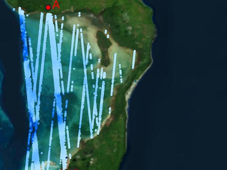
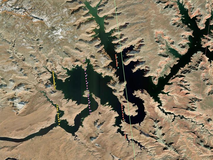
NASA's Ice, Cloud, and Land Elevation Satellite-2 (ICESat-2) carries a laser altimeter scientists use to measure the elevation of ice sheets, glaciers, sea ice, and more in unprecedented, 3-D detail. The satellite also measures heights across Earth's temperate and tropical regions, and takes stock of the vegetation in forests worldwide.
Sea Ice Data Tools
| Tool Sort descending | Description | Services | |
|---|---|---|---|
| OpenAltimetry | OpenAltimetry is a map-based visualization tool for exploring surface elevation data across Earth over time. | Analysis, Search and Discovery, Visualization |
Frequently Asked Questions
Earthdata Forum
Our online forum provides a space for users to browse thousands of FAQs about research needs, data, and data applications. You can also submit new questions for our experts to answer.
Submit Questions to Earthdata Forumand View Expert Responses