Earth is home to more than eight billion people who depend on the planet’s resources for food, shelter, wealth, safety and other essential needs. Instruments aboard Earth-observing satellites can track human activities, such as the conversion of natural land to urban areas, the cultivation of agricultural land, and patterns of human movement and migration. Combining these remotely sensed data with data collected by national and sub-national government agencies (such as population surveys, disease monitoring, biodiversity assessments, and all manner of other information) enables investigations into the impact of human activities on Earth. Additionally, these data are a vital resource for managing disaster response, such as using nighttime lights data to monitor power outages following severe weather or thermal anomaly data to track the movement of wildfires near populated areas.

NASA’s human dimension data products include hourly fossil-fuel emissions, inland water measurements, deforested area maps, seasonal hunting conditions, road network maps, wildfire burn scar assessments, human population measurements, air pollution tracking, socioeconomic and demographic household surveys, and vulnerability to climate change analysis.

Get Human Dimensions Data

Access a range of datasets and data tools to further your human dimensions research.

Discover and Visualize Human Dimensions Data
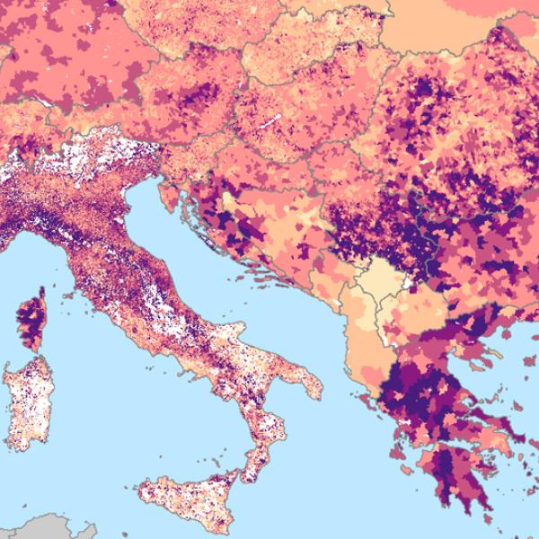
Data visualizations enable researchers to distill and communicate complex information in an accessible way. Aspects of human dimensions, such as population estimates and hazard mapping, make powerful maps and imagery. Explore our catalog of visualization tools to get started.
Image
image of population data over Mediterranean countries

Latest Human Dimensions News

1 MIN READ
Wildfires are burning across Indonesia - affecting the islands of Sumatra, Kalimantan, Sulawesi, Java, and Papua and causing poor air quality across the country.
Worldview Image of the Week
1 MIN READ
Explore how the Prediction of Worldwide Energy Resources (POWER) project impacts the current and future landscape of energy, buildings, and agriculture.
Event

Join Our Community of NASA Data Users

While NASA data are openly available without restriction, an Earthdata Login is required to download data and to use some tools with full functionality.

Learn About the Benefits of Earthdata Login

Get Help

QUESTIONS & SUPPORT

Have a question?

Get help with NASA Earth science data, datasets, tools, services, and metadata on the Earthdata Forum. Experienced staff in the data user community review and answer questions.

Get help on Earthdata Forum
Earthdata
Forum