We are in the process of migrating all NASA Earth science data sites into Earthdata from now until end of 2026. Not all NASA Earth science data and resources will appear here until then. Thank you for your patience as we make this transition.
Read about the Web Unification Project
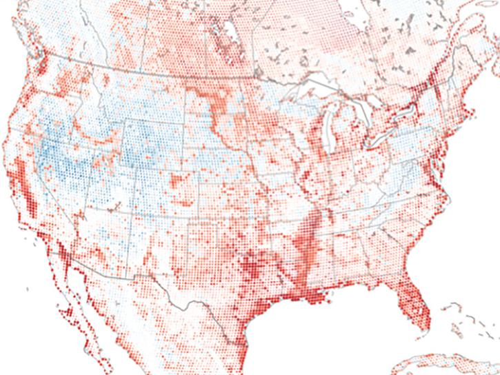
Earth is covered in more than 57 million miles of land, comprising nearly 30% of the planet’s entire surface. Land surface research includes investigating shrinking forests, warming land, eroding soils and other developments and processes. NASA’s Earth-observing satellites and instruments provide key data for this research such as surface temperature, land cover area, land use, topography, soil moisture, and vegetation cover.
Our vast land surface data products include land interferograms, vegetation type maps, land surface atmospheric boundary interaction measurements, soil moisture levels, fire and thermal anomaly detection, and global shuttle radar topography surveys.
Land Surface Sub-Topics

Latest Land Surface News

2 MIN READ
The AppEEARS QGIS Plugin enables users to browse completed requests from AppEEARS and load cloud-optimized GeoTIFF output files directly into QGIS.
News
1 MIN READ
Researchers from Cornell's eBird project used observations from amateur birdwatchers and NASA data to better understand the decline in avian populations throughout North America.
News
2 MIN READ
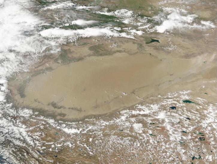
Image captured June 10, 2025, by the MODIS and AIRS instruments aboard the Aqua platform.
Worldview Image of the Week
Join Our Community of NASA Data Users
While NASA data are openly available without restriction, an Earthdata Login is required to download data and to use some tools with full functionality.
Learn About the Benefits of Earthdata LoginFrequently Asked Questions
Earthdata Forum
Our online forum provides a space for users to browse thousands of FAQs about research needs, data, and data applications. You can also submit new questions for our experts to answer.
Submit Questions to Earthdata Forumand View Expert Responses