We are in the process of migrating all NASA Earth science data sites into Earthdata from now until end of 2026. Not all NASA Earth science data and resources will appear here until then. Thank you for your patience as we make this transition.
Read about the Web Unification Project
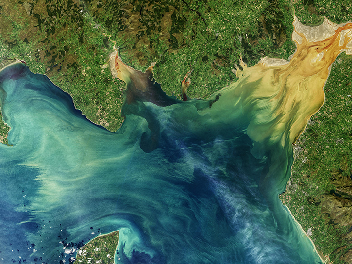
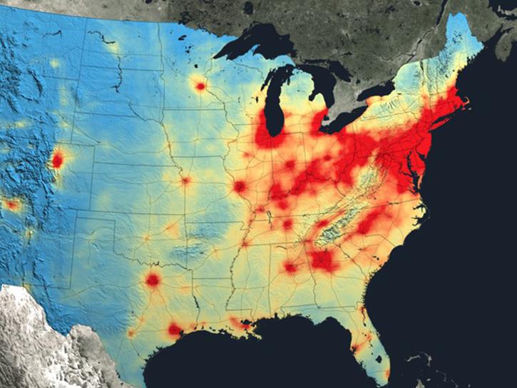
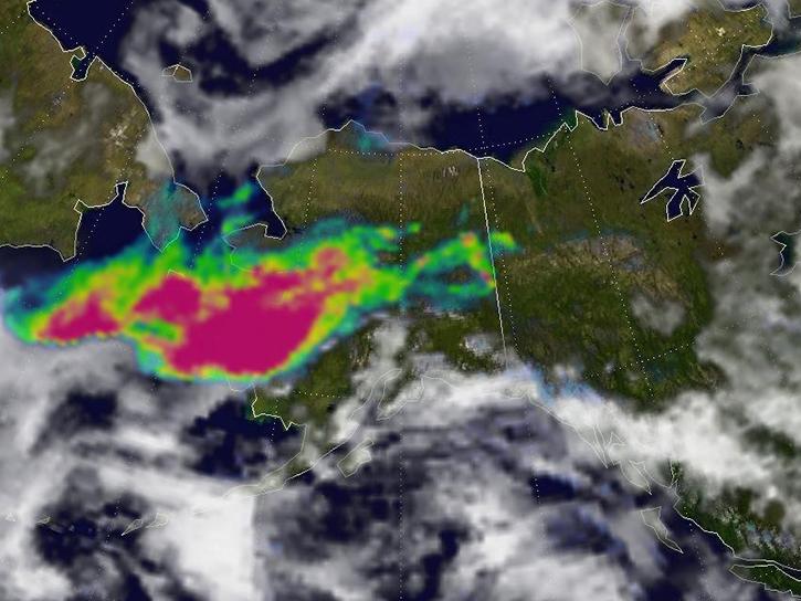
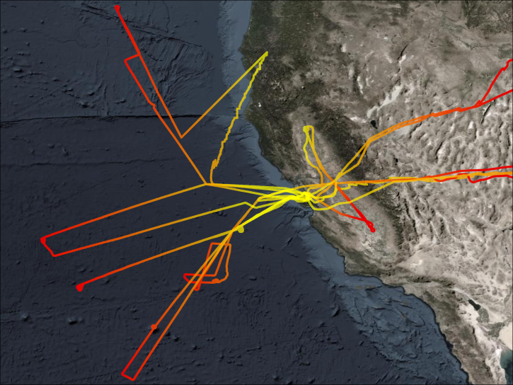
Featured Projects
NASA's Applied Remote Sensing Training (ARSET) program teaches people to use Earth-observing data in their environmental management and decision-making.

At night, satellite images of Earth capture a uniquely human signal—artificial lighting. Remotely-sensed lights at night improve our understanding of interactions between human systems and the environment.
Explore All Projects
Filters

CAMP2Ex had three main science objectives: aerosol effects on cloud microphysical and optical properties, aerosol and cloud influence on radiation and radiative feedback, and meteorology related effects on aerosol distribution and aerosol-cloud interactions.
The CARbon Atmospheric Flux Experiment (CARAFE) campaign measured the exchange of greenhouse gases between the Earth and the atmosphere in the Mid-Atlantic region.
CARVE focused on quantifying arctic storage and fluxes of carbon and how these relate to climate change.

CC-VEx provided in-atmosphere observations of cloud and aerosol that were coincident with the CALIPSO-CloudSat satellite measurements.

The Cross-Calibrated Multi-Platform (CCMP) is a gridded product that provides a consistent, gap-free time-series of vector winds over the world's oceans from 1993 onward.
CERES measures Earth's radiation budget and cloud properties to understand their role in climate change.
CITE-2 had the overarching goal to test and evaluate the instruments developed for Global Tropospheric Experiment (GTE) missions.

CITE 3 utilized the NASA Electra research aircraft equipped with a suite of instruments for sulfur and ancillary measurements.
SHOWING 8 OF 199