We are in the process of migrating all NASA Earth science data sites into Earthdata from now until end of 2026. Not all NASA Earth science data and resources will appear here until then. Thank you for your patience as we make this transition.
Read about the Web Unification Project
Featured Projects
NASA's Applied Remote Sensing Training (ARSET) program teaches people to use Earth-observing data in their environmental management and decision-making.

At night, satellite images of Earth capture a uniquely human signal—artificial lighting. Remotely-sensed lights at night improve our understanding of interactions between human systems and the environment.
Explore All Projects
Filters
CLAMS collected data from the area surrounding Chesapeake Lighthouse station, a sea platform 20 kilometers east of Virginia Beach that served as the location of the CERES Ocean Validation Experiment (COVE).

CLARREO Pathfinder data took highly accurate measurements of sunlight reflected by Earth and the Moon.
CMS is designed to make significant contributions in characterizing, quantifying, understanding, and predicting the evolution of global carbon sources and sinks through improved monitoring of carbon stocks and fluxes.


CORAL was designed to provide an extensive, uniform survey of coral reef communities through the use of the PRISM instrument aboard the Gulfstream-IV aircraft.

The COWVR-TEMPEST/STP-H8 project aims to demonstrate new low-cost microwave sensor technologies for weather applications.

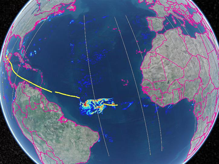
The Convective Processes Experiment (CPEX) was a NASA investigation that focused on studying convective processes over tropical waters to better understand the life cycle of tropical convective storms.
The Convective Processes Experiment - Aerosols and Winds (CPEX-AW) studied the dynamics and microphysics of the Saharan Air Layer, African Easterly Waves and Jets, Tropical Easterly Jet, and deep convection in the InterTropical Convergence Zone.
SHOWING 8 OF 199