Delivery of Suomi National Polar-orbiting Partnership (Suomi NPP) satellite data products will cease on November 1, 2026. Data users should transition now to alternative products from NOAA-21 and NOAA-20.
Suomi NPP data announcement
Filters

More than 25 high school, college, and graduate students supported the ESDIS Project at DAACs across the country as summer interns in 2016.
News
Jan. 23, 2020
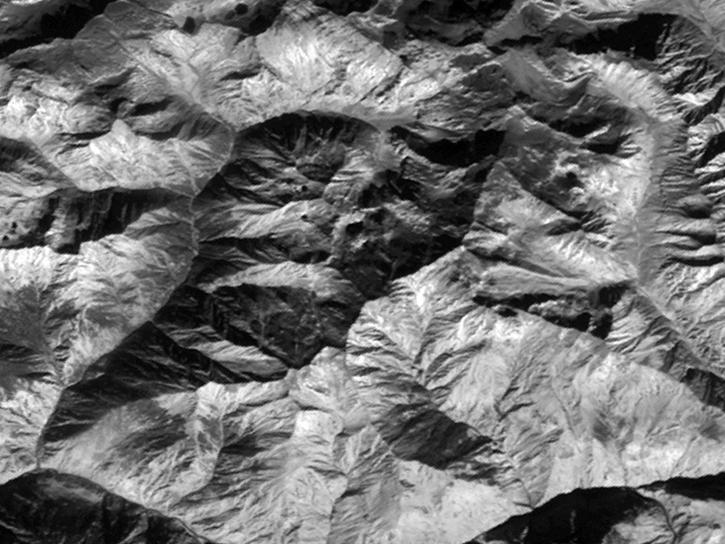
Read highlights of three publications that detail how NASA Earth observation data informs African wildfire patterns, rice production in India, and mineral locations in China.
Data in Action
Jan. 23, 2020

Two new datasets are available from NASA's Socioeconomic Data and Applications Center.
News
Jan. 3, 2020
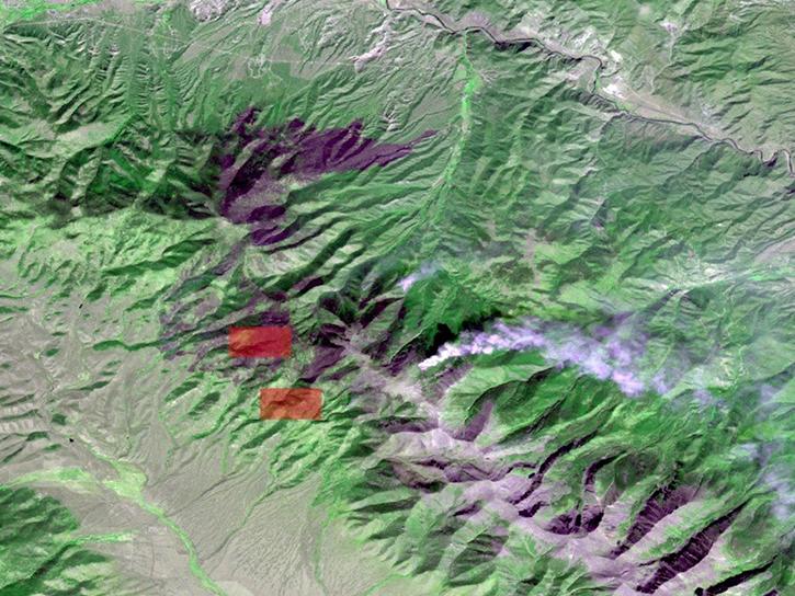
Explore how NASA remote sensing data and satellite imagery are used to monitor the evolution of fires.
Data in Action
Dec. 2, 2019
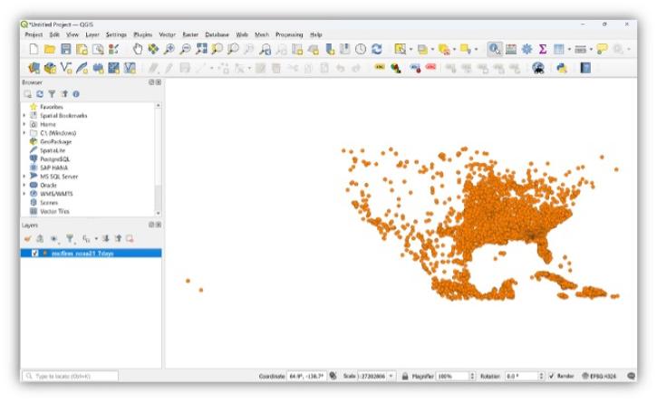
This tutorial demonstrates how to ingest FIRMS fire data into QGIS and custom modify symbols, colors and size. (tested on QGIS v 3.4)
Tutorial
Nov. 12, 2019

This tutorial demonstrates how to ingest FIRMS fire data into ArcGIS Pro and custom modify symbols, colors and size.
Tutorial
Nov. 12, 2019
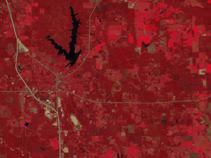
This tutorial demonstrates how to ingest FIRMS fire data, produced as Web Feature Services (WFS) into QGIS.
Tutorial
Nov. 12, 2019
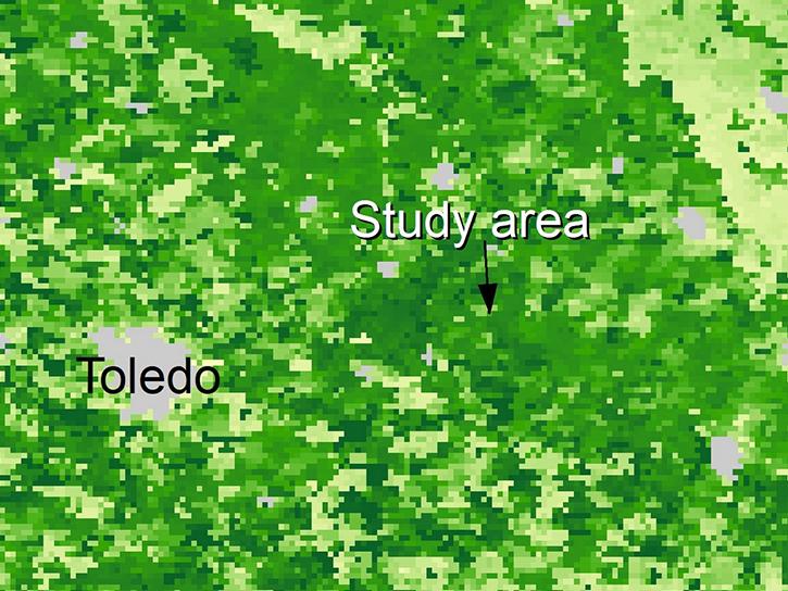
Explore how satellite data supported soybean crop modeling in Brazil and the U.S., hurricane and drought damage assessment in the Caribbean, and dam site evaluation in northern Iraq.
Data in Action
Oct. 28, 2019
SHOWING 8 OF 2403