We are in the process of migrating all NASA Earth science data sites into Earthdata from now until end of 2026. Not all NASA Earth science data and resources will appear here until then. Thank you for your patience as we make this transition.
Read about the Web Unification Project
Filters
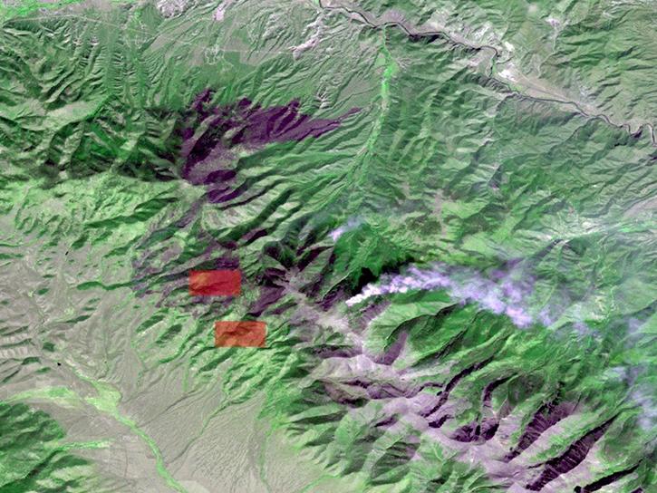
Explore how NASA remote sensing data and satellite imagery are used to monitor the evolution of fires.
Data in Action
Dec. 2, 2019

This tutorial demonstrates how to ingest FIRMS fire data into ArcGIS Pro and custom modify symbols, colors and size.
Tutorial
Nov. 12, 2019
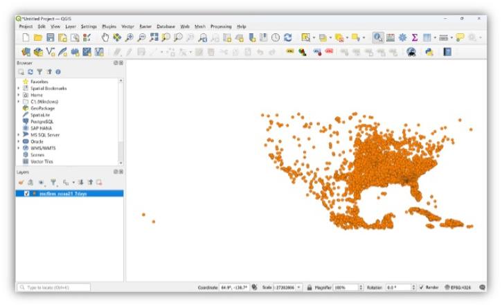
This tutorial demonstrates how to ingest FIRMS fire data, produced as Web Feature Services (WFS) into QGIS.
Tutorial
Nov. 12, 2019
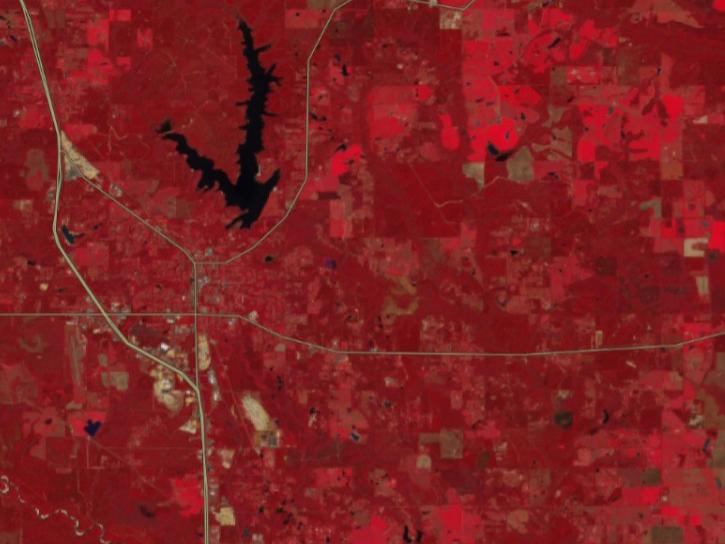
This tutorial demonstrates how to ingest FIRMS fire data into QGIS and custom modify symbols, colors and size. (tested on QGIS v 3.4)
Tutorial
Nov. 12, 2019
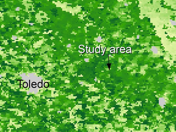
Explore how satellite data supported soybean crop modeling in Brazil and the U.S., hurricane and drought damage assessment in the Caribbean, and dam site evaluation in northern Iraq.
Data in Action
Oct. 28, 2019

We're providing a rolling month of geostationary imagery from GOES-East, GOES-West, and Himawari-8.
Blog
Oct. 21, 2019
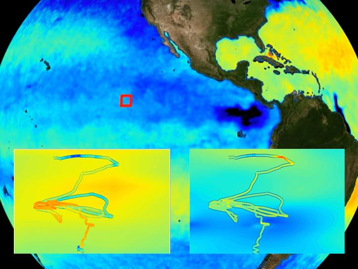
Researchers use NASA data to better understand key mechanisms responsible for near-surface salinity variations in the ocean.
Data in Action
Oct. 3, 2019

This tutorial demonstrates how to ingest FIRMS KML fire data into Google Earth Pro with automatic refresh.
Tutorial
Aug. 23, 2019
SHOWING 8 OF 2390