We are in the process of migrating all NASA Earth science data sites into Earthdata from now until end of 2026. Not all NASA Earth science data and resources will appear here until then. Thank you for your patience as we make this transition.
Read about the Web Unification Project
SMAP Resources
Earthdata offers a range of resources for users working with Soil Moisture Active Passive (SMAP) data. These include tutorials and other learning opportunities as well as related news, documents, and frequently asked questions.
Documents
| Name Sort descending | Description | File Type | Date Published | |
|---|---|---|---|---|
| NASA/RSS SMAP Salinity: Version 5.0 Validated Release | NASA/RSS SMAP Salinity: Version 5.0 Validated Release | PDF (6.13 mb) | June 21, 2023 | |
| NASA/RSS SMAP Salinity: Version 6.0 Validated Release | NASA/RSS SMAP Salinity: Version 6.0 Validated Release - Release Notes | PDF (4.34 mb) | Jan. 18, 2024 | |
| SMAP Salinity and Wind Speed Data User Guide | SMAP Salinity and Wind Speed Data User Guide | PDF (5.94 mb) | Nov. 12, 2020 |
SHOWING 3 OF 3
SMAP Learning Resources

This ARSET training focuses on Earth observation data useful for disaster risk assessment.
Training
Aug. 6-15, 2019

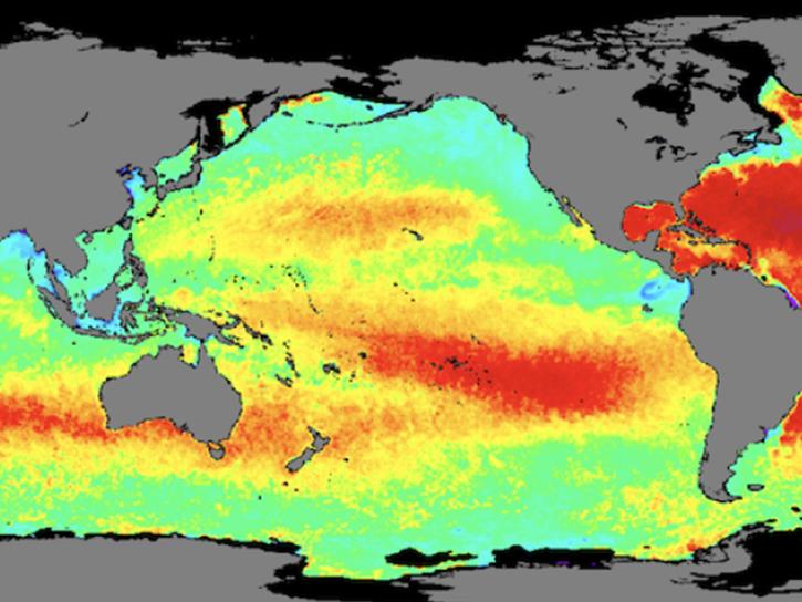
NASA data helps researchers track post-storm changes in sea surface temperature and ocean salinity.
Data in Action
June 12, 2019

Esta capacitación de ARSET cubre cómo usar datos de la NASA para caracterizar eventos de desastres y apoyar esfuerzos de ayuda.
Training
April 16-30, 2019
This ARSET training shows how NASA remote sensing data can be used to characterize and monitor disaster-related events and support relief efforts.
Training
April 16-30, 2019

This ARSET training introduces using satellite data and Earth system modeling data sources to estimate surface water budgets.
Training
March 13 - April 3, 2019

Remote sensing data's drought-indicating parameters are essential to manage the impact of water scarcities and minimize drought losses.
Data in Action
June 27, 2018

This ARSET training provides an overview of drought classification and web-based tools for drought monitoring and visualization.
Training
July 12-19, 2017

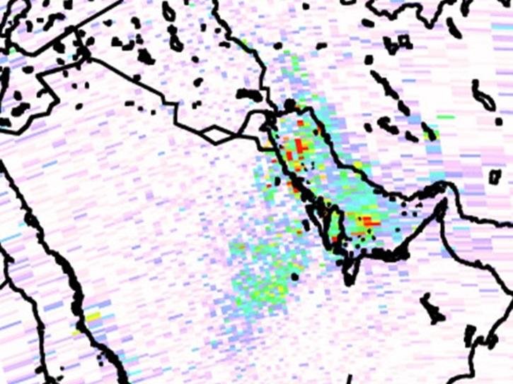
Learn now NASA's Soil Moisture Active Passive (SMAP) satellite and other satellite instruments were used to create a comprehensive chronology of the flood from land to ocean.
Data in Action
Dec. 6, 2016
SHOWING 8 OF 35
SMAP News
View All News
Filters

A summary of datasets, products, and resources released by NASA’s Distributed Active Archive Centers (DAACs) in August 2025.
News
Sept. 4, 2025

A summary of datasets, products, and resources released by NASA’s Distributed Active Archive Centers (DAACs) in July 2025.
News
Aug. 13, 2025
A summary of datasets, products, and resources released by NASA’s Distributed Active Archive Centers (DAACs) in June 2025.
News
July 18, 2025
A summary of datasets, products, and resources released by NASA’s Distributed Active Archive Centers (DAACs) in May 2025.
News
June 12, 2025
A summary of datasets, products, and resources released by NASA’s Distributed Active Archive Centers (DAACs) in April 2025.
News
May 13, 2025
Access Sea Surface Salinity with Sea Ice Mask, a NASA Satellite Needs Working Group solution, to discern salinity values close to the sea ice edge.
News
May 7, 2025

A summary of datasets, products, and resources released by NASA’s Distributed Active Archive Centers (DAACs) in February 2025.
News
March 6, 2025

A summary of datasets, products, and resources released by NASA’s Distributed Active Archive Centers (DAACs) in November 2024.
News
Dec. 4, 2024
SHOWING 8 OF 43
Frequently Asked Questions
Earthdata Forum
Our online forum provides a space for users to browse thousands of FAQs about research needs, data, and data applications. You can also submit new questions for our experts to answer.
Submit Questions to Earthdata Forumand View Expert Responses