Are you just getting started and looking for inspiration? Visit NASA Science and then come back for a deeper data dive with Earthdata.
The global ocean covers more than 70% of Earth's surface and holds approximately 97% of the planet's water. NASA's Earth-observing satellites collect data that help scientists understand how the ocean supports marine ecosystems, regulates global climate, produces atmospheric oxygen, and stores carbon dioxide.
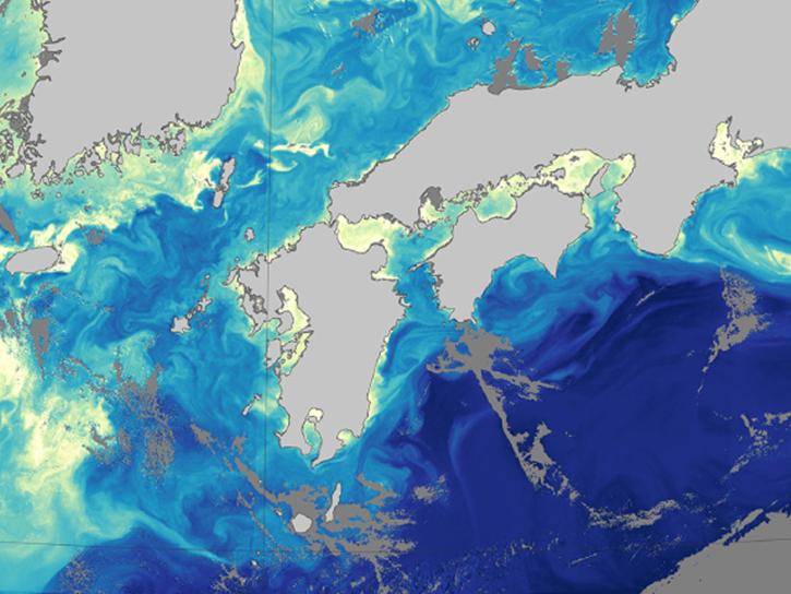
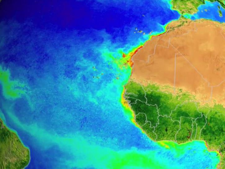
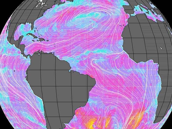
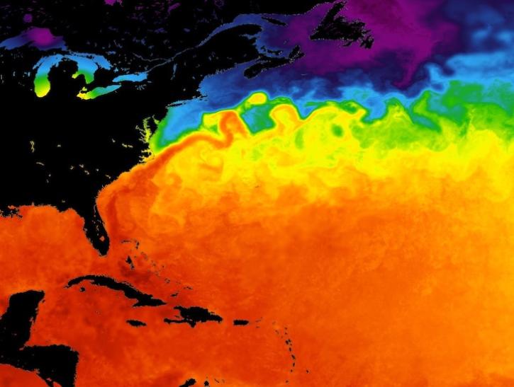
NASA's ocean data products include measurements of ocean circulation patterns, surface winds, and heat transfer between the ocean and atmosphere, such as sea surface temperature, salinity, and height variations. The data also capture water quality indicators including turbidity levels, chlorophyll concentrations that show phytoplankton activity, and dissolved organic matter.
Additionally, NASA's optical measurements support studies of global sea level changes over time. These comprehensive datasets from multiple satellite instruments enable researchers to monitor ocean health, validate climate models, and advance our understanding of Earth's interconnected systems.
Ocean Subtopics
Learn How to Use Ocean Data
Latest Ocean News
Join Our Community of NASA Data Users
While NASA data are openly available without restriction, an Earthdata Login is required to download data and to use some tools with full functionality.
Learn About the Benefits of Earthdata LoginGet Help
QUESTIONS & SUPPORT
Get help with NASA Earth science data, datasets, tools, services, and metadata on the Earthdata Forum. Experienced staff in the data user community review and answer questions.
Get help on Earthdata ForumForum