We are in the process of migrating all NASA Earth science data sites into Earthdata from now until end of 2026. Not all NASA Earth science data and resources will appear here until then. Thank you for your patience as we make this transition.
Read about the Web Unification Project
Earth is covered in more than 57 million miles of land, comprising nearly 30% of the planet’s entire surface. Land surface research includes investigating shrinking forests, warming land, eroding soils and other developments and processes. NASA’s Earth-observing satellites and instruments provide key data for this research such as surface temperature, land cover area, land use, topography, soil moisture, and vegetation cover.
Our vast land surface data products include land interferograms, vegetation type maps, land surface atmospheric boundary interaction measurements, soil moisture levels, fire and thermal anomaly detection, and global shuttle radar topography surveys.
Land Surface Subtopics
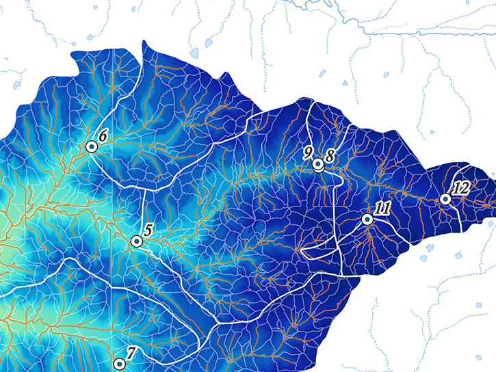
Discover and Visualize Land Surface Data
NASA data help us understand Earth's changing systems in more detail than ever before, and visualizations bring these data to life, making Earth science concepts accessible, beautiful, and impactful.
Data visualization is a powerful tool for analysis, trend and pattern recognition, and communication. Our resources help you find world-class data visualizations to complement and enhance your research. We also have tools and tutorials to help you translate land surface data into compelling visuals.
Image

Latest Land Surface News
5 MIN READ
The NLDAS-2 dataset was added to the AIMS decision-making platform to create hydrology and water quality simulations for farmers and land managers across the country.
News

7 MIN READ
The Satellite Needs Working Group (SNWG) works to identify and address the Earth observation needs of civilian federal agencies. SNWG is launching its latest biennial survey to identify needs, while also reporting progress on previous solutions.
Feature Article

3 MIN READ
NASA significantly enhanced its MODIS and VIIRS near real-time flood products, enabling users to distinguish between unusual and recurring flooding.
Blog
Join Our Community of NASA Data Users
While NASA data are openly available without restriction, an Earthdata Login is required to download data and to use some tools with full functionality.
Learn About the Benefits of Earthdata LoginFrequently Asked Questions
Earthdata Forum
Our online forum provides a space for users to browse thousands of FAQs about research needs, data, and data applications. You can also submit new questions for our experts to answer.
Submit Questions to Earthdata Forumand View Expert Responses